Detecting Oil Spills Using GIS
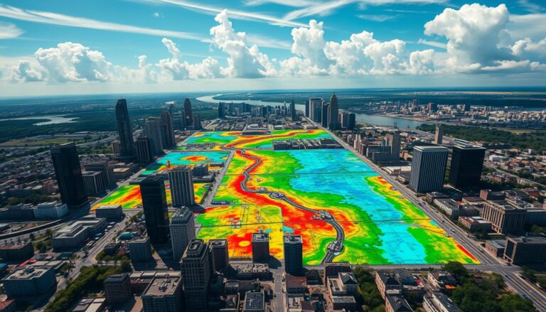
Geographic Information Systems (GIS) play a key role in fighting environmental challenges. They help detect and manage oil spills. GIS is a powerful tool that changes how we monitor the environment and respond to emergencies.
This article explores how GIS improves oil spill detection. It makes cleanup efforts more efficient and effective. This protects our ecosystems.
Key Takeaways
- GIS provides a comprehensive platform for oil spill monitoring and detection.
- Spatial analysis and modeling capabilities of GIS help track and predict the spread of oil spills.
- GIS-enabled technologies, such as remote sensing and aerial imagery, enable rapid identification and response to oil spills.
- Integrating GIS with other technologies, like drones and real-time monitoring systems, enhances the overall effectiveness of oil spill management.
- Collaborative efforts between government agencies, NGOs, and academia are crucial for advancing GIS research and applications in oil spill detection.
Introduction to GIS in Oil Spill Management
Geographic Information System (GIS) is a key technology in managing oil spills. It combines data from satellites, planes, and field reports. This helps understand the environment and how big an oil spill is.
What is GIS?
GIS is a computer system for handling spatial data. It lets us collect, organize, and analyze information about the Earth’s surface. This includes natural resources, buildings, and environmental conditions.
Importance of GIS in Environmental Monitoring
GIS is vital for watching over the environment, especially with oil spills. It helps track oil spills, see how they affect ecosystems, and organize responses. GIS uses different data sources to find important areas, focus cleanup, and watch how spills recover over time.
| GIS Applications in Oil Spill Management | Benefits |
|---|---|
| Oil spill detection and tracking | Rapid identification of spill location and size, enabling timely response |
| Environmental impact assessment | Evaluation of the extent of damage to ecosystems and natural resources |
| Response planning and coordination | Efficient allocation of resources and coordination of cleanup efforts |
| Long-term monitoring and analysis | Tracking of spill recovery and evaluation of remediation strategies |
Using GIS in oil spill management is more important than ever. The world needs to protect the environment from oil spills’ harm.
The Role of GIS in Oil Spill Detection
Geographic Information Systems (GIS) are key in finding and managing oil spills. They help protect our environment by using data and analysis. GIS makes it easier to spot, track, and handle oil spills quickly.
How GIS Enhances Spill Detection
GIS uses many types of data, like satellite images and field reports. It helps find where spills are, how big they are, and where they might go. This makes it easier to respond fast and well.
Case Studies: GIS in Action
- After the Deepwater Horizon spill in the Gulf of Mexico, GIS helped map the spill. It showed which coastal areas were at risk and where to send cleanup teams.
- After the Exxon Valdez spill in Alaska, GIS tracked the oil. It showed how the spill affected the environment and helped decide how to clean it up.
- In the Yellow Sea oil spill in China, GIS helped authorities act fast. It helped contain the spill and protect the sea life.
These examples show how important GIS is in finding and managing oil spills. It gives people the information they need to make smart choices and lessen the harm caused by spills.
“GIS is a game-changer in the field of oil spill management, providing a comprehensive and data-driven approach to addressing these environmental challenges.”
Types of GIS Technologies for Oil Spill Monitoring
In the world of oil spill detection and management, GIS technologies are key. They work with remote sensing and satellite imagery to track oil spills. This combo gives us a detailed view of oil spills and how to respond.
Remote Sensing Technologies
Remote sensing, like satellite and aerial imaging, is vital for spotting oil spills. These systems collect data on oil slicks’ size, location, and movement. This info is crucial for those making decisions and for emergency teams.
- Satellite Imagery: Satellites can spot oil spills from far away, giving a clear view of the area. The data from satellites fits well into GIS systems for better analysis and display.
- Aerial Imaging: Planes and drones capture detailed images and thermal data. This adds to what satellites see, helping track spills and plan responses.
GIS technologies turn remote sensing data into useful information. This lets us monitor oil spills in real-time, predict, and quickly send help to lessen environmental harm.
“GIS technologies, combined with remote sensing and satellite imagery, offer unparalleled capabilities for comprehensive oil spill monitoring and response.”
Data Collection Methods for GIS
Accurate and comprehensive data is key for effective GIS in oil spill management. It’s important to collect data through field techniques and use public environmental data. These steps are crucial.
Field Data Collection Techniques
Gathering data directly from the field is vital. It helps understand local conditions and dynamics of an oil spill. Field data collection techniques include:
- Visual observations and documentation of spill characteristics
- Collecting water, soil, and sediment samples for laboratory analysis
- Measuring environmental parameters such as water depth, current velocity, and weather conditions
- Utilizing GPS devices to record the precise location and extent of the spill
These field techniques provide valuable on-the-ground data. This data can be integrated into the GIS system for a better understanding of the oil spill situation.
Publicly Available Environmental Data
GIS professionals can also use publicly available environmental data. This data helps in monitoring and responding to oil spills. Some examples include:
- Satellite and aerial imagery from government agencies and private providers, offering a bird’s-eye view of the spill’s extent and movement
- Weather and oceanographic data from national and international meteorological and oceanographic organizations
- Environmental monitoring data from government environmental agencies and research institutions
By integrating these diverse data sources into the GIS platform, a more holistic understanding of the oil spill is achieved. This facilitates informed decision-making and effective response strategies.
By using both field-based and publicly available data, GIS professionals can create a comprehensive dataset. This dataset supports the management and mitigation of oil spills. It enhances environmental protection and restoration efforts.
Analyzing Oil Spill Data with GIS
Geospatial Information Systems (GIS) are key for understanding oil spills. They help researchers and environmental experts see how oil spills spread and affect areas. This knowledge is crucial for managing these disasters.
Spatial Analysis Techniques
GIS tools are vital for mapping oil spills. They use methods like buffer analysis and overlay analysis. This helps spot where oil is most concentrated and near sensitive areas.
Temporal Analysis Trends
GIS also looks at how oil spills change over time. It combines old data with satellite images. This shows how spills move and how well they are cleaned up. It’s important for planning future responses.
| Spatial Analysis Techniques | Temporal Analysis Methods |
|---|---|
|
|
Using GIS analysis helps tackle oil spill challenges. It leads to better decisions and protects our environment.
Developing Models for Predicting Oil Spill Movement
In the world of oil spill management, GIS (Geographic Information Systems) is key. It helps create predictive models for oil spill movement and behavior. These models use GIS to make oil spill response efforts more accurate and effective.
Simulation Models Using GIS
GIS-based simulation models are crucial for predicting oil spill paths and spreads. They combine data on ocean currents, wind, and underwater terrain. This helps create detailed simulations of oil spill evolution over time.
By analyzing these environmental factors, GIS models offer insights. These insights help in making better decisions and improving response strategies.
Factors Influencing Spill Movement
- Ocean currents: The direction and speed of ocean currents have a significant impact on the movement and dispersion of oil spills.
- Wind patterns: Wind speed and direction can influence the drift and spread of oil on the water’s surface.
- Bathymetry: The underwater terrain and depth can affect the way oil interacts with the environment and impacts coastal areas.
- Tides and waves: These dynamic forces can contribute to the complex movement and behavior of oil spills.
- Weathering processes: Environmental factors, such as evaporation, emulsification, and biodegradation, can alter the physical and chemical properties of the spilled oil over time.
By integrating these factors into GIS models, researchers and oil spill response teams can make more accurate predictions. This helps in better resource allocation and implementing effective mitigation strategies.
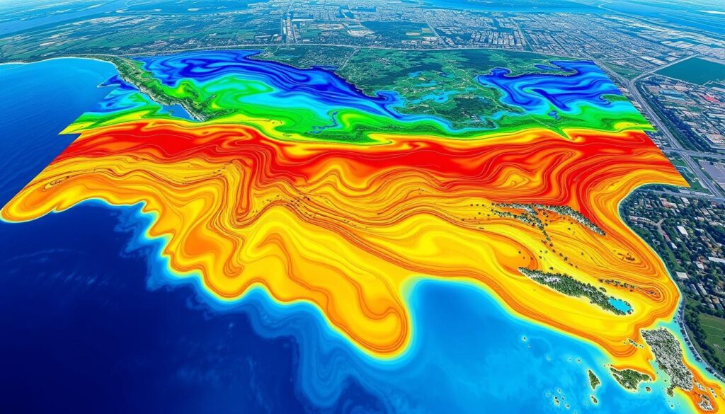
Improving GIS-based simulation models is vital. It requires ongoing refinement and advancements in data collection and processing. This is essential for better understanding and managing oil spill incidents.
GIS Tools for Oil Spill Response
In the world of oil spill response, Geographic Information System (GIS) tools are key. They help monitor, analyze, and manage oil spills. ArcGIS, QGIS, and Google Earth Engine are top picks for teams dealing with oil spills.
Popular GIS Software Options
ArcGIS by Esri is a top choice for oil spill detection and response. It’s easy to use and has powerful tools for data analysis. QGIS, an open-source option, is also popular for its cost and features.
Mobile GIS Applications
GIS tools also come in mobile apps for data collection on the ground. Apps like ArcGIS Collector and Survey123 help teams respond quickly. They work well with desktop software for better oil spill management.
| GIS Tool | Key Features | Suitable for Oil Spill Response |
|---|---|---|
| ArcGIS |
| Highly suitable for large-scale oil spill incidents, providing advanced GIS functionalities for detection, response, and long-term management. |
| QGIS |
| Well-suited for organizations with limited resources, offering a powerful GIS platform for oil spill response and management. |
| ArcGIS Collector |
| Ideal for on-site data gathering, allowing field teams to capture critical information and integrate it seamlessly with GIS systems. |
Using GIS tools in oil spill response has changed how we manage these incidents. They help us use spatial data and advanced analytics. This makes teams more prepared and helps reduce the damage from oil spills.
Integrating GIS with Other Technologies
In the world of oil spill management, using Geographic Information Systems (GIS) with other advanced technologies has changed the game. GIS, when combined with new solutions, makes detecting, monitoring, and responding to oil spills much better.
Drones and Their Role in Oil Spill Management
Unmanned Aerial Vehicles (UAVs), or drones, are now key in managing oil spills with GIS. These drones have high-resolution cameras and sensors. They send real-time images and data to GIS software.
This helps spot oil spills quickly and map them accurately. It means faster and more focused cleanup efforts.
Real-time Monitoring Systems
GIS also helps create powerful real-time monitoring systems. These systems use sensors, satellite images, and GPS. They give updates on oil spill locations, sizes, and movements fast.
By mixing this data with GIS analysis, leaders can make quick, smart choices. This helps lessen the harm to the environment and local economies.
The mix of GIS, drones, and real-time monitoring has changed oil spill management. It boosts detection, quickens response, and reduces spill impacts on nature and people.
Collaborations in Oil Spill Management
In the world of oil spill management, working together is crucial. Governments, NGOs, and schools have teamed up to face this environmental issue. Their combined efforts have greatly improved oil spill detection and response using GIS research.
Partnerships Between Government and NGOs
Government agencies and NGOs have joined forces to manage oil spills. They use each other’s strengths to create a strong plan. This partnership has led to new GIS solutions to track and reduce oil spill damage.
Academic Contributions to GIS Research
Universities and research centers play a big role in GIS research for oil spills. Experts have done deep studies to find new ways to detect oil spills faster and more accurately. Their work has helped create advanced models and tools for oil spill response.
The teamwork between governments, NGOs, and schools has been key in managing oil spills. Together, they’ve come up with creative solutions using GIS. This teamwork helps protect our environment from oil spills.
Challenges in Using GIS for Oil Spill Detection
Geographic Information Systems (GIS) are very helpful in managing oil spills. But, there are big challenges to make them work better. These include problems with data accuracy and reliability, and technical issues.
Data Accuracy and Reliability Issues
Good data is key for GIS to detect and respond to oil spills well. But, getting this data can be hard. Things like sensor errors, environmental issues, and human mistakes can mess up the data.
Also, getting data from satellites and weather services can be hit-or-miss. This can leave gaps in the data needed for detailed analysis.
Technical Limitations of GIS
GIS has come a long way, but it still faces technical hurdles. Handling big amounts of data can be tough, especially in places with limited resources. Also, making GIS work with other systems, like real-time monitoring, is a big task.
To tackle these problems, we need more research and teamwork. Improving how we collect and manage data, and making different systems work together, can make GIS better for oil spill detection.
| Challenge | Description |
|---|---|
| Data Accuracy and Reliability | Factors such as sensor calibration, environmental interference, and human error can compromise the accuracy of field data collection. Inconsistent availability and timeliness of publicly available data can lead to gaps in the data needed for comprehensive analysis. |
| Technical Limitations | Processing power and storage capacity required to handle large volumes of geospatial data can be a challenge, particularly in remote or resource-constrained areas. Integration of GIS with other technologies, such as real-time monitoring systems and predictive models, requires overcoming interoperability challenges. |
Future Trends in GIS and Oil Spill Management
GIS (Geographic Information Systems) is changing fast, and so is oil spill management. New GIS tech and machine learning are making big changes in this field.
Advancements in GIS Technologies
GIS is getting better fast, and this is changing how we handle oil spills. Now, we have better satellite images and drone tech. These tools help oil companies and governments to act quicker and better, reducing harm to the environment.
The Impact of Machine Learning
Machine learning is also changing oil spill management. It uses artificial intelligence to predict where oil spills will go. This lets us plan ahead and reduce the damage from spills.
| GIS Trends | Impact on Oil Spill Management |
|---|---|
| High-resolution satellite imagery | Improved detection and monitoring of spills |
| Drone technology integration | Enhanced real-time data collection and analysis |
| Predictive modeling using machine learning | More accurate forecasting of spill movement and spread |
As we face the challenges of oil spill management, GIS and machine learning are key. They help us find better ways to protect our planet and lessen the harm from oil spills.
Conclusion: The Future of GIS in Oil Spill Detection
GIS technology has become key in finding and managing oil spills. It uses remote sensing, data collection, and spatial analysis. These tools have changed how we watch and act on environmental disasters. The future of GIS in oil spill detection looks bright.
Summary of Key Points
GIS helps a lot in finding oil spills and predicting where they might go. It works well with new tech like drones and real-time systems. This makes our response faster and better.
Working together, governments, non-profits, and schools have helped GIS grow. Their efforts have made GIS better for real-world use.
Call to Action for Improved Practices
GIS will keep being important for oil spill detection and management. To protect our environment, we need to keep improving GIS. We must also work on making data more accurate and use the newest tech.
By using GIS, we can make a safer and greener future. We can reduce the harm from oil spills and protect our ecosystems.

