Fairfax County GIS: Urban Planning Insights
Fairfax County GIS: Urban Planning Insights

Fairfax County’s Geographic Information System (GIS) offers a wealth of valuable data and resources, playing a critical role in urban planning. With access to a comprehensive dataset encompassing land use, demographics, infrastructure, and more, urban planners, developers, and researchers can gain critical insights to informed decisions. In this post, we’ll explore the key features of Fairfax County’s GIS data, how it benefits various stakeholders, and tangible resources available for accessing and understanding this valuable information.
Key Features of Fairfax County GIS Data
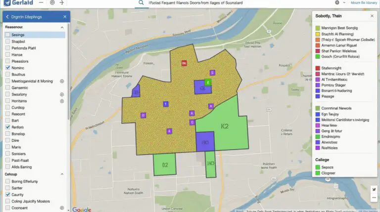
- Land Use Map: Provides detailed information on zoning classifications, land ownership, development projects, and various land-use patterns, enabling developers and planners to assess potential development areas while ensuring compatibility with existing land uses.
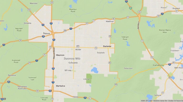
- Infrastructure Data: Shows the location and condition of significant assets like roads, utilities, water bodies, and public transportation, allowing residents and businesses to navigate the area effectively and identify critical infrastructure needs for ongoing projects, such as new roads or water pipelines.
- Population and Housing Data: Comprises demographic information on population density, housing types, household composition, and age, affording planners valuable insight into the county’s population distribution, their housing needs, and trends.
- Environmental Data: Offers insights on environmental features like soil types, water bodies, and land topography, helping assess the impact of potential developments on the environment and ensure sustainable urban development practices.
Benefits of Utilizing Fairfax County GIS Data
- Informed Decision-Making: GIS data empowers urban planners and developers to make well-informed decisions regarding land use, infrastructure development, and environmental management.
- Community Access and Transparency: GIS tools and resources provide residents with real-time access to vital information like public services, crime hotspots, and zoning regulations, empowering them to participate more effectively in the planning process.
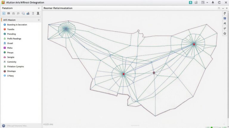
- Efficient Project Management: GIS integrates workflows and provides visualizations of complex data, streamlining the process for project design, impact analysis, and collaboration among relevant government agencies.
Resources Available for Accessing Fairfax County GIS Information
Fairfax County provides various resources for accessing and understanding its comprehensive GIS data.
- Fairfax County GIS Website: Provides a user-friendly website where you can explore various interactive maps, datasets, and downloadable tools. https://gis.fairfaxcounty.gov/
- Resources for Developers and Project Planners: The “Developers & Planners” section delivers specific tools and information for developers and professionals involved in larger-scale infrastructural and construction projects. https://gis.fairfaxcounty.gov/developers-planners
- Training Workshops: The Fairfax County GIS office routinely hosts workshops and webinars offering hands-on understanding of the software and data. https://gis.fairfaxcounty.gov/training
How Residents, Businesses, and Researchers Can Benefit
The GIS data serves as a powerful tool to help people of Fairfax County in understanding and participating in the planning process:
- **Residents:** Residents can use GIS data to find valuable information about community resources, plan their travel routes, visualize local infrastructure, and understand the evolving character of their neighborhood.
- **Businesses:** Businesses can leverage GIS data to locate optimal commercial locations, analyze customer trends, create targeted marketing campaigns.
- **Researchers:** Researchers interested in various urban development trends, demographic analysis, or environmental impacts can also use GIS data to collect data, analyze trends, and build impactful reports.
Conclusion
Fairfax County’s GIS data plays a central role in urban planing and management, striking a vital balance between current use trends and sustainable practices.
Frequently Asked Questions about Fairfax County GIS
Find answers to your most common questions about Fairfax County GIS data.
- What data does Fairfax County GIS have?
Fairfax County GIS offers a variety of data layers covering various aspects of the county, including but not limited to:
- Roads and streets
- Land and property information
- Locations of schools, businesses, and other public services
- Parks, recreation areas, and open space
- Where can I find the data?
We offer data in various formats, including:
- How can I download GIS data for use?
To download the available data, follow these steps:
- Open the Fairfax County website for GIS map services
- Select the desired data layer
- Request for the data through the provided request form.
- How and When do I Cite Fairfax County GIS Data?
Refer to our Data Citing Guide for proper attribution and acknowledgements.
Click here for the guide.
Conclusion
Fairfax County GIS data holds immense value for planning, development, resource management, and community engagement. By leveraging publicly accessible data, residents, businesses, and government agencies can effectively visualize, analyze, and manage the challenges and opportunities of Fairfax County. Our commitment to providing high-quality, accessible data remains vital to the community’s informed decision-making.
Additional Resources for Fairfax County GIS Data Explore More Data Here
Check similar topics: