Placer County GIS: Mapping Made Simple
Placer County GIS: Mapping Made Simple
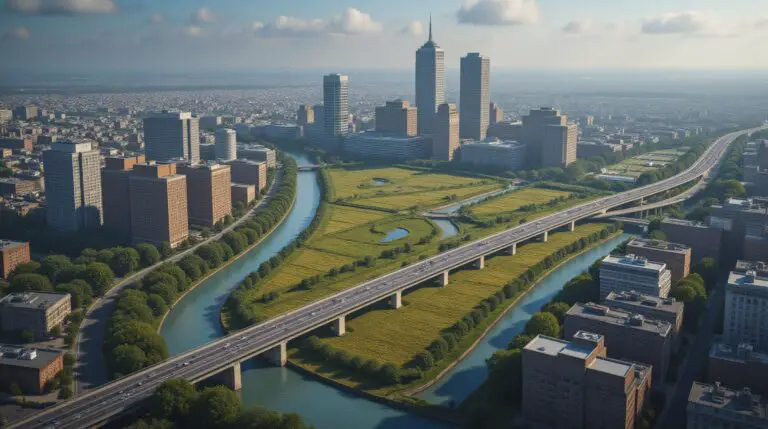
Welcome to a world of insightful mapping and powerful data visualization! Placer County offers a vital resource for digital insights into its diverse landscape, from breathtaking mountains to vibrant plains.
Understanding Placer County’s GIS Data
GIS, or Geographic Information Systems, is more than just pretty maps. It’s a powerful tool for understanding and analyzing geographical data, making it invaluable for residents, businesses, and researchers alike. Placer County’s GIS system incorporates a rich array of data, including:
* **Land Use:** Zoning maps, parks and recreation areas, agricultural zones
* **Demographics and Population:** Population density, age distribution, education levels, home values
* **Transportation Networks:** Road maps, public transit routes, major highways, traffic data
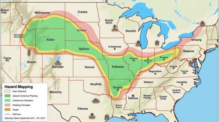
* **Environmental Monitoring:** Wildfire and flood modeling, air quality data, water quality reports
* **Infrastructure:** Utility networks (water, electricity, sewer), service corridors, public facilities
Perks of Accessing Placer County GIS
Leveraging Placer County’s GIS data provides numerous benefits for a diverse range of users:
* **Informed Planning & Development:** From constructing new businesses to planning for future growth, GIS provides the data-driven insights to create successful projects.
* **Improved Decision Making:** GIS data supports evidence-based decisions in areas like resource management, transportation planning, and disaster mitigation.
* **Enhanced Understanding of Communities:** GIS helps understand population distribution, demographic trends, and socio-economical data. This allows for targeted outreach, better resource allocation
* **Increased Citizen Engagement:** Interactive GIS maps inspire public awareness, impact investment, and shape effective and citizen-centered projects.
Getting Started: Accessing Placer County GIS Data
The good news is that accessing Placer County’s GIS data is easier than ever!
**Online Resources & Platforms:**
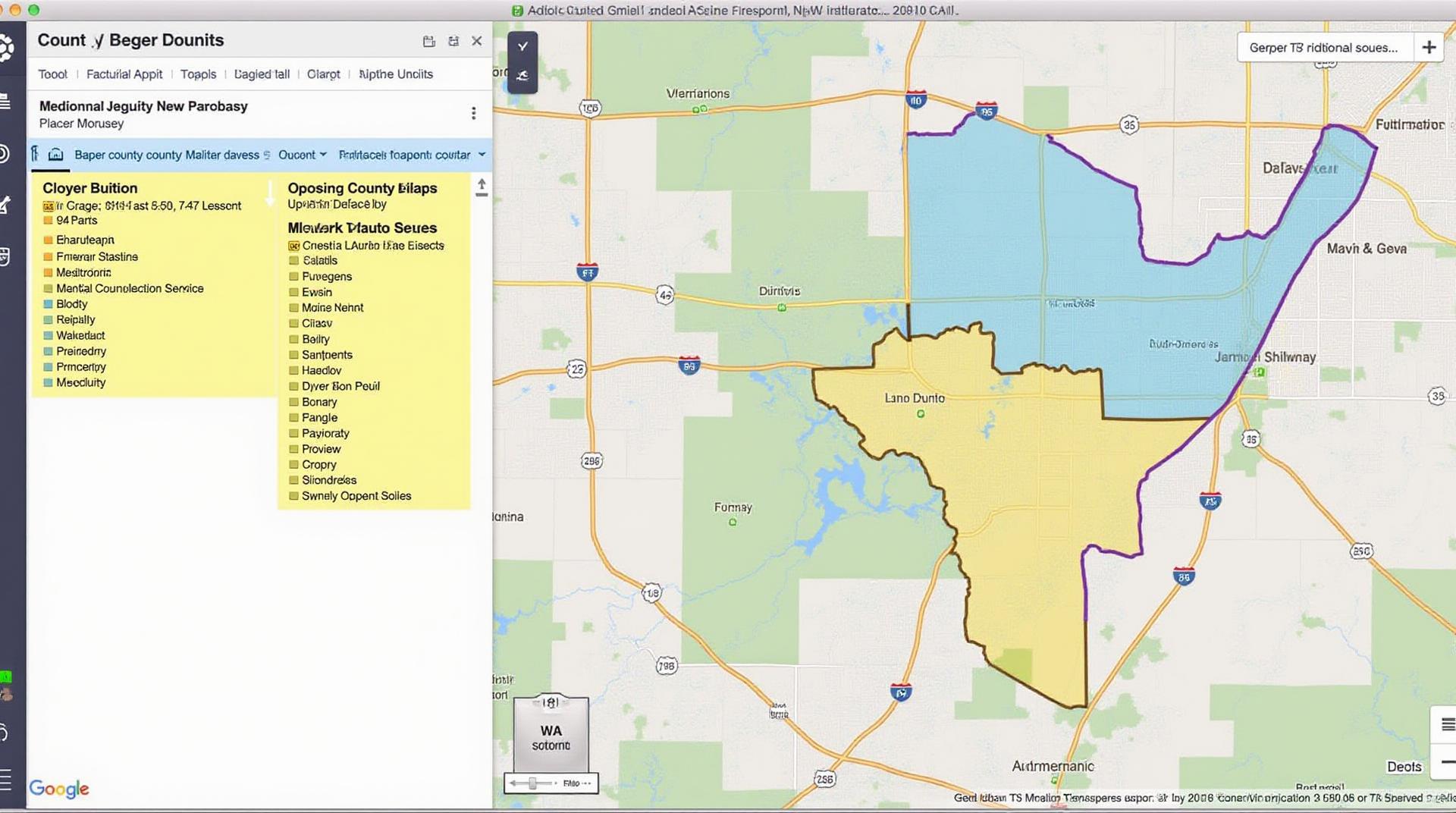
* Placer County GIS Site
* This is your central portal to Placer County’s vast library of GIS data. You’ll find detailed maps, reports, interactive tools, and educational resources
* Placer County Active Transportation Mapping Program
* A project focused on pedestrian and bike friendly roads, making It a fantastic resource for planning safer and more sustainable modes of transportation.
**Tools & Data Downloads:**
* **Map APIs**: Integrates with other applications and platforms, allowing real-time mapping and data visualization.
* **Data Downloads:** Access the raw GIS data, such as shapefiles, to analyze, process, and customize as needed.
**Citizen Engagement Platforms:**
* Placer County’s GIS layer exposes information that is open to the community. Be sure to explore the XGIS part of the site to participate in projects that impact your neighborhood.
Engaging With Placer County GIS
Let’s demystify how to explore the interfaces and discover the power of Information.
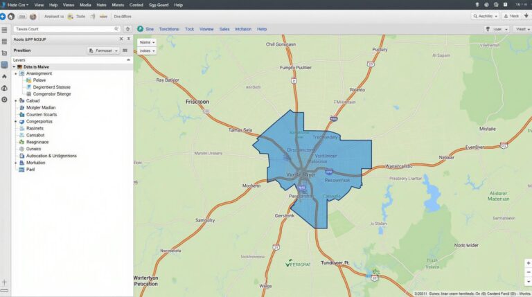
* **Interactive Maps:** Explore trails, parks, land use, infrastructure, and features by zooming, panning, and drilling down to understand specific details.
* **Data Exploration:** Search for areas, specific characteristics, trends, or points of interest within the data, allowing you to deep dive on specific topics of interest.
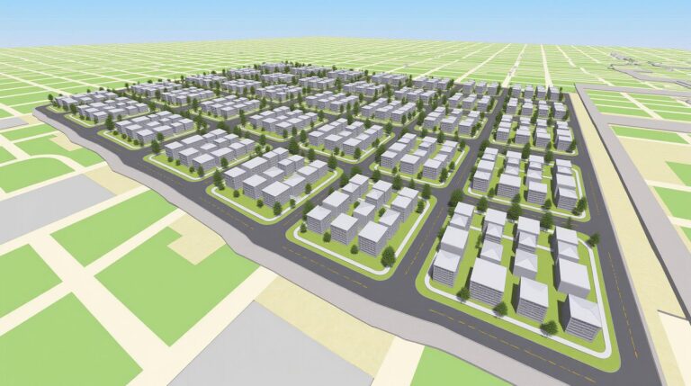
* **3D Modeling:** For extensive visual representations of locations, Try out interactive 3D views or plans to experience more complex projects or detailed landforms.
Conclusion: Placer County GIS is More Than Just Data—It’s a Tool for Progress
This information is your gateway to accessing data that can empower you within Placer County. From helping you choose a good place to live to assisting anyone wanting to organize their property or build a new business, Placer County GIS shines as a central resource for those who wish to understand and analyze the local environment, society, and economy.
By using Placer County’s GIS tools, you can make informed decisions about your community, analyze the environment, and engage with the local landscape in unprecedented ways. Enjoy the experience!
Let’s get started with an FAQs section for Placer-County-GIS on HTML.
“`html
Placer-County-GIS FAQs
Placer-County-GIS: FAQs
Explore our frequently asked questions about GIS data available through Placer-County-GIS.
Data Availability
We offer a wide array of geospatial data for Placer County. This includes:
- Land use and zoning data: Learn more
- Boundaries & Jurisdictions: Understand locations
- Parcel data: Explore property information
- Infrastructure layers: Discover transportation, utilities and more
Data Formats
We provide our data in various formats, including:
- Shapefiles: Conveniently opens in standard GIS applications
- GeoJSON: Simple, lightweight tool for exploring and publishing data
- Raster data formats (TIFF, GeoTIFF): Ideal for high-resolution imagery
Data Usage
Placer-County-GIS data is intended for a range of uses, including:
- Citizen services: By accessing data, residents can understand growth patterns, property values, and available resources.
- Community planning and development: Analyze areas for proposed developments or spatial impacts.
- Permitting and enforcement: Enhancing compliance by applying GIS techniques to critical development analysis
- Environmental management: Evaluate vegetation and natural resource assessments for environmental understanding.
GIS data is an incredible asset for Placer County. It allows our teams to make well-informed decisions, promote transparency and accessibility for citizens and partners,
“`
**Explanation:**
* The code showcases the basic structure of an FAQs section, with clear headings.
* **Link Management:** Each link is introduced with the `` tag, providing a clear path to the relevant data.Make sure these links are reviewed and actively send users to new or updated information.
* **Data types:** You can include even more topics regarding data types/file formats by expanding on what type of data is provided.
* **Content:** You need to change the content to match the specific data provided from Placer County-GIS.
**Points to Remember:**
* **Style and Implementation:** Enhance the visual appeal of the FAQs with appropriate CSS styling and consider utilizing a table for readability
* **Growing Content:** You’ll likely need to add and update content regularly, so having a content management system and a mechanism for reviewing the content for updates will allow Placer-County-GIS to make changes as needed.
Let me know if you’d like to explore more aspects like data examples or specific use-case scenarios for Placer-County-GIS.
Check similar topics: