AI-Driven Mapping Solutions – Automated Mapping
AI-Driven Mapping Solutions: Automated Mapping
What is GeoAI?
GeoAI, or Geospatial Artificial Intelligence, is a rapidly evolving field that combines the power of artificial intelligence (AI) and geospatial data. Think of it as a powerful force marrying machine learning, algorithms, and massive datasets, all concentrated on analyzing and interpreting our increasingly complex and dynamic world through the lens of geographic data.
Using techniques like machine vision and deep learning, GeoAI can process, understand, and generate vital insights from a world of geographic information. These insights can be used for tasks ranging from personalized recommendations for real estate or climate prediction to optimizing delivery routes for logistics businesses.
Key Features of AI-Driven Mapping Solutions
GeoAI-powered mapping solutions utilize key features to enhance mapping capabilities and unlock previously unimaginable analytical power:
* **Real-Time Data Integration:** GeoAI can instantly integrate current and historical data from various sources like weather apps, traffic feeds, IoT devices, and satellite imagery. This results in almost real-time, updated maps.
* **Automated Mapping Generation:** AI algorithms can drastically speed up the map creation process, identifying new geographical patterns, generating 3D models, and even automatically creating maps from existing unstructured data like satellite images or aerial photos.
* **Accuracy and Precision:** The ability of AI to automatically identify patterns and anomalies within data often leads to increased accuracy and precision in map creation and analysis.
* **Predictive Analysis:** By analyzing existing and predicted data, GeoAI can be used for predicting potential scenarios and locations affected by factors such as climate change, traffic flow, disaster events, or resource scarcity.
Benefits of AI-Driven Mapping Solutions
The widespread adoption of AI-driven mapping solutions brings forth significant benefits across diverse industries:
* **Enhanced Precision and Efficiency:** Automation in mapping tasks like generating 3D models, predicting urban growth patterns, or scenarios for territorial management can lead to significant efficiency gains in various sectors.
* **Reduced Costs:** AI can automate tedious and time-consuming tasks associated with traditional map creation, leading to reduced labor costs and time investment.
* **Improved Decision-Making:** Deep insights enriched by GeoAI can enable better decision making across various areas, including urban planning, disaster response, resource management, and even crime prevention.
* **Data-Driven Insights:** AI can uncover hidden patterns within geographic data, leading to previously unimaginable insights that can enhance strategic planning, market analysis, and optimize business operations.
Practical Applications of AI in Mapping
AI is transforming the world of map creation and data analysis in several ways:
* **Autonomous Navigation:** Self-driving car technology relies heavily on GeoAI algorithms to navigate through complex road environments and avoid obstacles.
* **Emergency Response:** AI-powered mapping solutions are now used by emergency services to detect natural disasters, track critical resources, and guide responders with tailored, real-time directions.
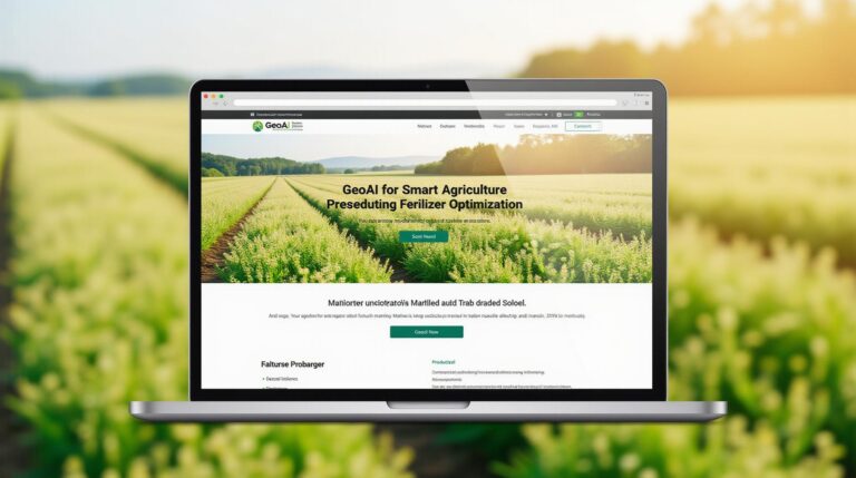
* **Precision Agriculture:** By analyzing weather patterns and crop health in mapped regions, AI algorithms help farmers optimize their planting strategies for higher yields and reduced resource consumption.
* **Environmental Monitoring:** GeoAI allows for the creation of intricate models of ecosystems, tracking their vulnerability to climate change, and predicting the impacts on wildlife, food chains, and biodiversity.
* **Smart Cities:** AI fosters smart city initiatives by creating virtual maps with detailed information about public transport routes, traffic flow, and distance data, that guide citizens to amenities efficiently.
Resources for Further Exploration
To dive deeper into the world of GeoAI and explore its applications, you can:
* **[Research Papers](https://arxiv.org/):** Research websites like arXiv.org offer access to the latest research papers on GeoAI, often published several months before publication.
* **[Industry Conferences](https://www.cii.co.uk/events/index.do):** Attend AI and GIS conferences like Esri User Conference or GIScience Conference, for dedicated tours, workshops, and workshops on GeoAI applications.
* **[Official AI Companies](https://www.esri.com/en-us/what-we-do/solutions):** Established geospatial and AI firms like Esri, Google Maps, IBM, and Amazon offer fantastic resources, demos, and educational materials on their own AI technologies and applications.
Learning more about GeoAI and its transformative applications is a worthwhile endeavor. By leveraging this powerful technology, businesses and organizations can unlock invaluable insights and solidify their positions in increasingly complex and high-stakes industries. .
Let’s dive into the world of AI-driven mapping with an FAQ section for you!
What is AI-Driven Mapping Solutions?
AI-driven Mapping Solutions, also known as Automated Cartography, harness the power of Artificial Intelligence to automate various aspects of map creation, analysis, and visualization. This transformative technology uses deep learning algorithms to analyze and understand vast amounts of data, identifying patterns and trends in geographical information.
What are the Key Benefits of AI-Driven Mapping Solutions?
Here are some key advantages of using AI-driven mapping solutions:
- Efficiency and Speed:** Completion of complex tasks such as data analysis, boundary definition, and map generation can be significantly faster compared to traditional methods.
- Accuracy:** AI minimizes errors and improves accuracy by learning from specific and large datasets, providing usually more accurate maps.
- Cost-effectiveness:** By automating tasks, organizations can save significant staff time and costs.
- Customization and Flexibility:** AI algorithms can generate customized maps tailored to specific specific needs and requirements.
FAQs
What is available when I use AI-Driven Mapping Solutions?
AI-driven mapping solutions offer a variety of features, including:
- **High-resolution imagery and aerial maps:** Accessing aerial and satellite data, delivered in various formats like tiles or pre-made walls.
- **Advanced analysis & visualization tools:** Gaining insights from analyzed data, visualizing it with appropriate data layers and styles.
- **Spatiotemporal data analysis & discovery:** Tracking changes in maps over time to understand various geographical pressures.
Can I generate my own maps?
Absolutely! Many AI-driven mapping solutions offer platform-based services to create custom maps, data exploration, and user interfaces.
[Explore ArcGIS Maps](https://www.arcgis.com/home/map.html)
What Data is used to develop these AI systems?
The foundation of AI mapping relies on large datasets with specifications that digitally capture and interpret geographic and thematic information. Data can come from sources like satellite imagery, topographical maps, elevation models, transportation networks, landform features, and more.
What are the Common Formats for AI-Driven Mapping Data?
- Shapefiles: Common format for geospatial vector data.
- GeoJSON: Interoperable format for all types of geospatial data.
- GeoTIFF: Image raster data, often used for high resolution satellite data.
Actionable Insights – Why Choose AI-Driven Mapping Solutions
AI-driven mapping solutions offer a powerful toolkit for addressing real-world challenges in various domains. It is helping organizations analyze and visualize data more efficiently and effectively:
- **Urban Planning & Development** – Facilitating smart city initiatives, optimized traffic analysis and public transportation networks.
- **Environmental Monitoring** – Tracking deforestation rates, pollution events, wildlife patterns, and disaster management.
- **Resource Management** – Analyzing land use, optimizing agricultural practices, and managing natural resources effectively.
- **Public Safety** – Improving emergency response and infrastructure planning for better urban safety.
By harnessing the power of AI, we are creating truly innovative mapping experiences that drive decision-making, foster a deeper understanding of our world and analyze the ever-changing landscape.