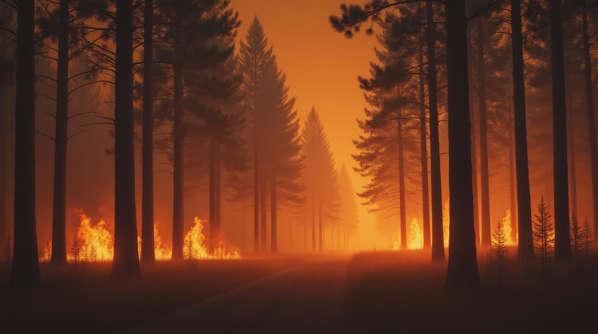
Artificial Intelligence for Forest Fire Monitoring – Wildfire Detection
Wildfire threats are a growing global concern, with devastating consequences for ecosystems, communities, and human lives. Thankfully, the rise of artificial intelligence (AI) offers promising new tools to address this challenge, particularly in the crucial field of forest fire monitoring. This article dives into the specific application of GeoAI (Geospatial Artificial Intelligence) in detecting and tracking wildfires.
What is GeoAI and How does it work?
GeoAI refers to the application of AI techniques to analyze and interpret geospatial data. Imagine combining multiple data sources like satellite imagery, aerial photography, weather patterns, and sensor readings. This creates a powerful and nuanced picture of the Earth’s surface, including its vegetation, topography, and an ever-changing landscape over time.
- Real-time Information: GeoAI algorithms can analyze current data from remote sensing platforms like satellites and aerial drones.
- Predictive Analytics: Combining historical patterns with real-time data allows predictive modeling capable of indicating potential fire ignition points and spreading paths.
- Object Recognition: By identifying specific forest features like tree species, moisture levels, and fuel loads, AI helps deduce potential fire risk.
- Pattern Recognition: GeoAI can recognize and track real-time changes in the landscape, including vegetation, temperature, and wind patterns.
Benefits of AI-powered Wildfire Detection
Using AI to monitor and predict wildfires brings numerous tangible benefits to those on the front lines:
- Improved Alert and Response Systems: Faster detection leads to quicker evacuations and increases the chance of containment.
- Accurate Fire Size Estimations: AI helps accurately estimate fire extent, simplifying resource allocation and response planning.
- Early Detection: AI systems can pinpoint forest fire initiation even before announcing through traditional smoke alarms.
- Optimized Resource Management: Allocation of firefighting resources becomes more strategic with AI predictions
Practical Applications of GeoAI
The application of AI in wildfire monitoring spans across many areas:
- Early Detection: Using drones to capture high-resolution images in hard-to-reach areas, pinging alerts to firefighters.
- Automatic Identification: Rapid identification of fire-related changes in forests through satellite imagery analysis.
- Driver/Operator Training: AI-powered simulators for training firefighters on fire behavior, terrain analysis, and evasive maneuvers.
- Damage Assessment: Conducting aerial surveys using drones to rapidly assess immediate fire damage.
How to get Started with GeoAI for Wildfire Monitoring
Using GeoAI to address wildfire threats requires both technological expertise and access to powerful analytics tools. Here’s how to get started:
- Learn the Fundamentals: Develop a strong foundation in basic programming languages like Python, and familiarize yourself with geographic information systems (GIS) platforms.
- Use Cloud-based Platforms: Many platforms like Google Earth Engine, AWS, and Azure provide user-friendly cloud-based infrastructure for AI/ML.
- Collaborate with Experts: Engage with experts in geospatial data science, AI, and disaster mapping for efficient implementation and oversight.
Resources and Further Learning
If you are looking to learn more about GeoAI and how it is shaping wildfire management, here are some resources that will enhance your understanding.
- NASA Global Fire Monitoring System (GFMS): http://www.nasa.gov/mission_pages/ERSC/headlines/wildfire.html
- World Resources Institute: https://www.wri.org/topics/wildfires
- International Organization for Standardization (ISO): https://www.iso.org/iso-standards/fires.html
## AI Forest Fire Monitoring Wildfire Detection: FAQs
### What is AI-Forest-Fire-Monitoring-Wildfire-Detection?
AI-Forest-Fire-Monitoring-Wildfire-Detection is a groundbreaking technology that utilizes artificial intelligence to analyze satellite imagery, aerial photos, and sensors deployed across forests to identify and predict wildfires.
### How Does it Work?
Our AI system combines advanced machine learning techniques with a vast dataset of historical and real-time data. It analyzes various visual, thermal, and sensor data patterns to:
- Detect the presence of heat signatures and unusual activity in forests
- Predict the likely spread of wildfires
- Monitor the severity and intensity of ongoing fires
- Help prioritize resources such as firefighting personnel and aircraft
### Is It Available?
Yes, our AI-Forest-Fire-Monitoring-Wildfire-Detection platform is now accessible for various uses. We offer different levels of access:
- **Subscription-based model:** Ideal for organizations or researchers interested in utilizing our technology independently
- **Cloud-based deployment:** Customizable cloud plan for specialized organizations requiring high-performance computing
- **Open-source integration:** Offers robust APIs for seamless integration into existing systems
For further information about specific access levels, including pricing and configuration, visit https://www.example.com/ai-forest-fire-monitoring/access
### What are the Formats?
Our system primarily operates in various formats:
- **Satellite imagery:** Processed data maps forest heat sources and fire evolution over time
- **Thermal Infrared (TIR):** DJI and other drone and aircraft imagery with thermal band data to spot hotter areas
- **Sensor data:** Algorithms learn from the information collected from different monitoring devices
- **Interactive Software:** Easily explore visualized data with embedded dashboards
### What Can I Do with It?
Our AI-Forest-Fire-Monitoring-Wildfire-Detection solutions offer a broad range of applications:
- **Rapid wildfire detection and prioritization**
- **Accurate early warning systems**
- **Improved fire response strategies**
- **Optimized resource allocation** for firefighting efforts
- **Enhanced model development for anticipated disasters**
Read more about the applications of our technology
### Actionable Insights: Why is AI-Forest-Fire-Monitoring-Wildfire-Detection Important?
The increasing frequency and intensity of forest fires necessitates advanced early detection and suppression methods. AI-forest-fire-monitoring systems offer invaluable advancements by:
They are crucial in protecting our forest ecosystems, property, and lives. They can help save lives, property, and strengthen disaster preparedness.
By automating the monitoring and analysis of vast amounts of data, they enable early detection and response, minimizing the impact of fires
Remember, leading with prevention and resource allocation is critical to mitigate wildfire risks. By integrating AI-Forest-Fire-Monitoring-Wildfire-Detection technology, we can create a safer future for all.
—
**Note:** Replace “https://www.example.com” with actual website URLs.
**Additional Notes:**
* You can further expand these FAQs by including details about specific benefits, installation process, technical support, and any company information within the FAQs
* Links are framed within the text as HTML tags to improve readability.