AI and Geospatial Data Fusion – Data Integration
AI and Geospatial Data Fusion: Data Integration for a Smarter Future
Introduction
The age of data is upon us, and increasingly, we’re harnessing it to make decisions, solve problems, and innovate. Within this data explosion lies geospatial data – information whose location is crucial for understanding the world we live in. Geospatial artificial intelligence (GeoAI) is emerging as a game-changer, enabling us to integrate and analyse this vast dataset to unlock powerful insights.
What is GeoAI?
GeoAI combines the domain expertise of geography with the power of machine learning and artificial intelligence. This fusion allows us to leverage geospatial data using AI algorithms, providing new avenues for analysis and understanding geographically embedded information. Through advanced techniques like spatial intelligence, spatial statistics, and spatial reasoning, GeoAI excels at:
* **Analyzing spatial patterns and relationships:** Identifying trends in traffic flow, identifying areas prone to floods, predicting disease outbreaks, or optimizing logistics routing are possible with GeoAI.
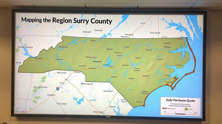
* **Automating map creation and analysis:** AI can automatically generate maps from various sources, even in unstructured environments like street level imagery.
* **Intelligent decision-making:** Optimizing city planning, managing natural resources, predicting energy consumption, and providing disaster preparedness support are just some of the fields where GeoAI plays a critical role.
Key Features of GeoAI
Here’s a glimpse of what makes GeoAI unique and powerful:
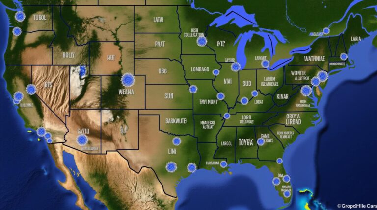
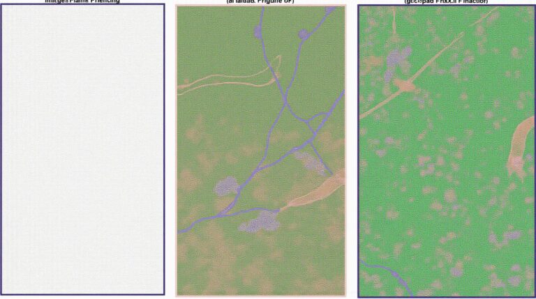
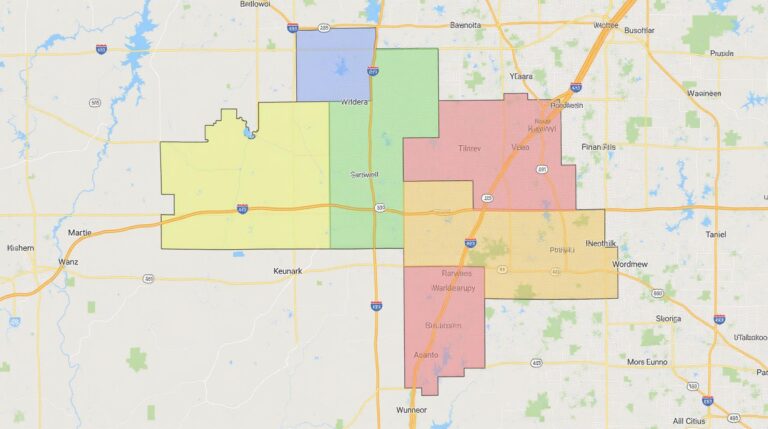
* **Data Fusion:** Seamless integration of diverse geospatial datasets like satellite imagery, sensor readings, real-time location data, and geographical objects like roads, buildings, and parks.
* **Geographic Analysis:** leveraging spatial data to recognize patterns and insights not readily visible in relational databases.
* **Automated Process:** Machine learning models can automatically detect meaningful patterns and predict future trends by analysing extensive datasets and without much manual intervention.
* **Real-time Updates:** GeoAI systems interface with live data feeds, enabling real-time responses to constantly changing scenarios like traffic patterns or weather conditions.
Benefits of GeoAI
The advancements in GeoAI bring a vast array of benefits. Here are just a few examples:
* **Improved efficiency and reduced costs:** Automation in tasks like mapping, data analysis, and decision-making can dramatically reduce operational costs and time to completion.
* **Enhanced accuracy and precision:** GeoAI models leverage larger datasets and rule-based insights, leading to more accurate predictions and improved decision-making.
* **Early warning systems:** By predicting environmental changes like floods, landslides, and wildfires, GeoAI can help to create early warning systems, saving lives and reducing damage.
* **Enhanced sustainable development:** By analyzing various geographical data sources, GeoAI can contribute towards environmental monitoring, resource management, and sustainable city planning.
### Practical Applications
The applications of GeoAI are vast and constantly expanding. Here are some key areas where GeoAI is impacting the world today:
* **Disaster Management and Response:** Predictive modeling of hurricanes and earthquakes allows for efficient resource allocation and evacuation planning. Similarly, real-time mapping of disaster zones reveals damage clearly and assists in rescue operations.
* **Resource Management:** AI can manage water resources more efficiently by optimizing irrigation patterns, predicting water shortages, and analyzing water pollution levels.
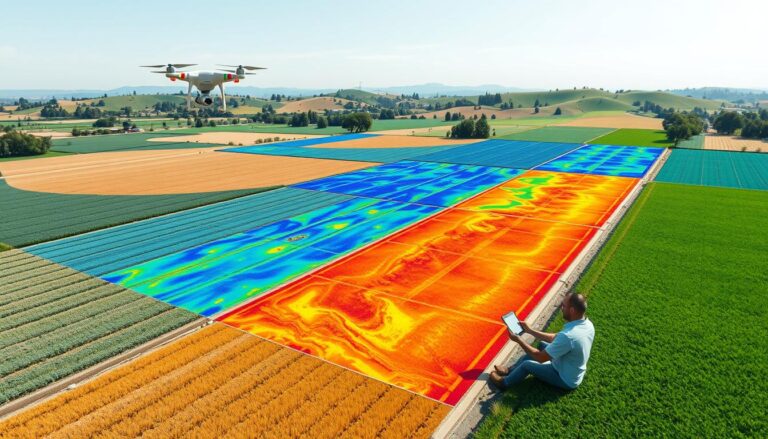
* **Agriculture and Livestock:** Precision agriculture techniques like using drones for crop monitoring and spraying and implementing optimized strategies for water and fertilizer use improve efficiency and sustainability.
* **Healthcare:** GeoAI enhances diagnoses, predicts outbreaks, and facilitates optimized healthcare resource allocation through targeted medicine distribution and personalized patient care.
Learning Resources and Tools
**Key Organizations:**
* **IEEE Geoscience & Remote Sensing Society:** https://www.ieeegrsm.org/
* **International Society for Digital Earth:** https://www.isde.global/
* **OpenStreetMap:** https://www.openstreetmap.org/
**Open Source Tools:**
* **OpenStreetMap API:** (https://www.openstreetmap.org/api/)
* **Python Libraries:** PyRobotix, rasterio, osmnx
**Research Papers:**
* **GEOSPATIAL AI for Disaster Management:** https://www.researchgate.net/publication/351949339_Geospatial_AI_for_Disaster_Management
* **Geospatial Artificial Intelligence and the COVID-19 pandemic:** https://journals.sagepub.com/doi/full/10.1177/10971176211030315
**Conclusion**
AI and geospatial data fusion offer compelling possibilities for transforming the way we understand and interact with our place in the world. By breaking down spatial barriers and applying powerful analytical models to vast datasets, GeoAI is revolutionizing our ability to tackle complex issues and drive future innovation. With the constant advancement of GeoAI, its potential impact on our individual lives, businesses, and governments is only expected to grow, bringing an era of significantly more informed and insightful decision-making.
By equipping ourselves with the right knowledge and tools, we can harness the power of GeoAI to address global challenges, improve everyday life, and create a smarter future for generations to come.
## AI-Geospatial Data Fusion & Data Integration: FAQs
### What is AI-based Geospatial Data Fusion & Data Integration?
AI-based Data Fusion & Integration uses Artificial Intelligence (AI) to combine and analyze diverse geospatial datasets, like satellite imagery, LiDAR data, historical maps, GPS locations, and sensor readings. It streamlines information processing, creating insights that traditional methods struggle to deliver. This facilitates a more accurate, comprehensive, and real-time understanding of our world.
### How Does AI-Geospatial Data Fusion & Data Integration Work?
This complex technology utilizes cutting-edge AI algorithms and tools to:
* **Combine & Inconsistencies:** Integrate data from various sources with different resolutions, formats, and spatial structures, balancing their intrinsic strengths
* **Extract Meaningful Data:** Identify patterns and relationships within the fused datasets using AI techniques.
* **Generate Insights:** Translate extracted information into impactful data that can guide decision-makers in various fields.
### What Software & Tools are Use for AI-Based Data Fusion & Integration?
Popular platforms and tools for AI-based geospatial data processing include:
* **Cloud Platforms:** AWS SageMaker, Azure Machine Learning, Google Cloud AI Platform
* **Open Source Libraries:** FSD – Feature Extraction, ORCA, SAR Image Tools
* **Specialized Software:** QGIS (for data management and visualization), ArcGIS (for spatial analysis)
### Where can I Find AI-Geospatial Data Fusion & Integration Resources?
Numerous online platforms cater to your needs:
* **OAI Portal:** [https://oai.data.gouv.fr/](https://oai.data.gouv.fr/)
* **Data Fusion Communities:** Search for relevant online circles and workshops and find the latest user discussions, videos, tutorials and get started with the community.
### What Types of Data areCompatible for AI-Geospatial Data Fusion & Integration?
The integration process is adaptable and can handle diverse data types, such as:
* **Remote sensing:** Satellite imagery, LiDAR data, aerial photographs.
* **Geographic Information System (GIS):** Geospatial attribute tables, maps, and shapefiles.
* **Environmental data:** Soil maps, weather information, sedimentation patterns.
* **Sensor recordings:** GPS, mobile phone localisation, environmental pollution readings.
### What Formats are Supported?
AI-based applications typically work with various spatial data formats, including:
* **Shapefiles:** Contains polygons and points data used for mapping.
* **GeoJSON:** Ideal for representing geometries and spatial relationships.
* **Raster Formats:** Like GeoTIFF and multispectral images.
* **Vector Formats:** For encoding spatial attributes and editing precise points, lines, and polygons.
### How Can I Get Started?
* **Developing Knowledge:** Start with foundational knowledge on gamification development, machine learning, and geospatial analysis.
* **Practice in Lab Environments:** Utilize sample datasets and tools to familiarize yourself with the workflow.
* **Join Communities:** Engage actively with online communities and attend workshops to advance your skills.
### Overall, how important is AI-Geospatial Data Fusion & Data Integration?
This transforming technology empowers numerous fields by providing unparalleled insights and enhancing the processing power of traditional methods. Here’s why it matters:
* **Informed Decision Making:** Provides evidence-based data for crucial decisions in urban planning, disaster management, infrastructure development, and resource management.
* **Strategic Resource Allocation:** Optimize resource allocation across different sectors, contributing to sustainable development goals.
* **Improved Environmental Monitoring:** Enhance our understanding of environmental changes concerning climate change and pollution.
* **Enhanced Disaster Response:** Quickly assess damage from natural calamities and aid rescue operations with better responders.
AI-Geospatial Data Fusion & Integration is a crucial tool for addressing complex modern challenges. Advancing this technology will unlock invaluable democratic potential across numerous fields, enabling concrete solutions for a sustainable and improved future.