AI in Land Cover Classification – Remote Sensing
AI in Land Cover Classification – Remote Sensing
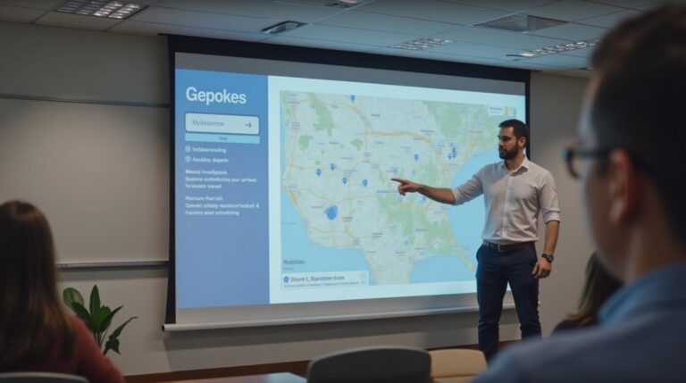
Introduction to Geospatial Artificial Intelligence (GeoAI)
Remote sensing, the science of obtaining information about distant objects or phenomena without direct physical contact, has been revolutionized by the advent of deep learning and artificial intelligence (AI). This marriage of technology has paved the way for the development of incredibly powerful and sophisticated tools to analyze vast amounts of data for land cover classification. The field of GeoAI, which employs AI to process and analyze geospatial data, stands on the forefront this advancement.
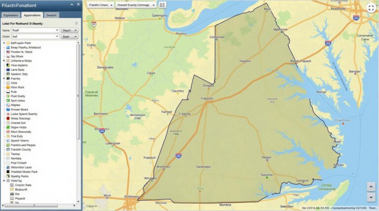
What Is Land Cover Classification?
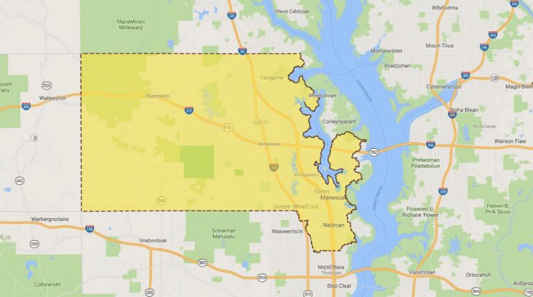
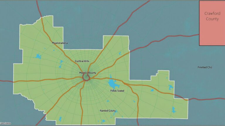
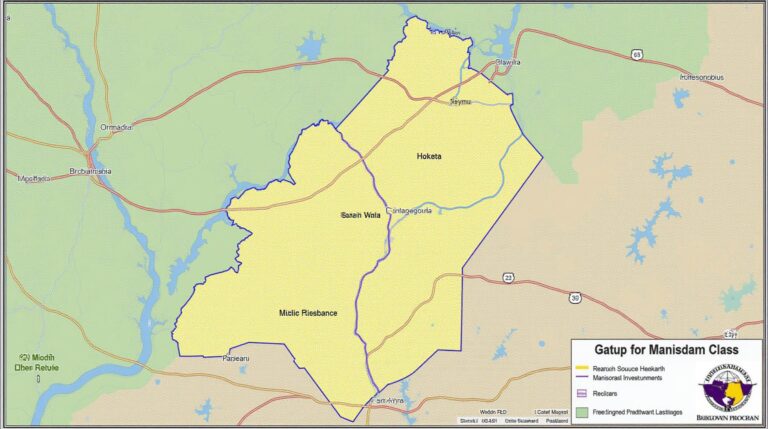
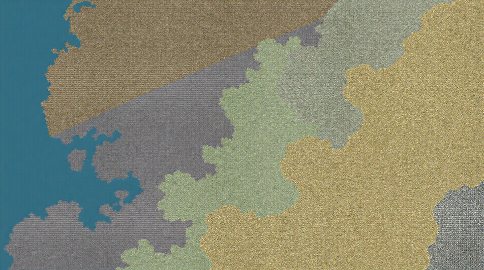
Land cover classification is the process of identifying the different types of land features on a given area based on their characteristics. It involves assigning each pixel in an image to a particular land cover type, such as forest, water, urban areas, or even bare soil. This task is crucial for various applications like:
* **Environmental monitoring and conservation:** Understanding land cover changes due to deforestation, urban sprawl, or natural events.
* **Agriculture:** Precise crop mapping and optimizing land use for optimal yields.
* **Disaster management:** Efficiently assessing damage from floods, fires, or other natural disasters.
* **Urban planning:** Analyzing land use patterns and predicting future development.
The Power of AI for Land Cover Classification
Normally, land cover classification using traditional methods relied on human interpretation or relatively simple rule-based systems, often limited in accuracy and scale. AI, particularly deep learning algorithms, provides unparalleled capabilities for classifying land cover thanks to:
* **Feature extraction:** AI systems can automatically learn complex patterns and features from image data that humans might overlook, improving accuracy and reducing bias.
* **Higher resolution and scale:** AI-powered systems can work seamlessly with high-resolution images and heterogeneous data sets, revealing detailed insights into land cover changes.
* **Automation:** AI-driven models significantly speed up classification processes, reducing the need for manual data annotation.
Key Features of AI in Land Cover Classification
* **Image classification:** Using various image data sources like satellites, drones, and aerial photos to identify distinct land cover types with high degrees of accuracy.
* **Change detection:** Analyzing temporal datasets to detect changes in land cover over a period, such as vegetation growth, deforestation, and urban expansion.
* **Multi-spectral analysis:** Leveraging multispectral imagery for detailed analysis of different vegetation, water, and soil types.
* **Hyperspectral analysis:** Utilizing hyperspectral imagery to analyze subtle differences in spectral reflectance and identify specific materials or minerals.
Benefits of AI-Based Land Cover Classification
* **Enhanced Accuracy:** AI delivers superior accuracy compared to traditional methods, leading to more reliable information for decision-making.
* **Cost-Effective:** AI automates lengthy and time-consuming tasks, reducing the reliance on expensive human labor and field surveys.
* **Scalability & Efficiency:** AI platforms can be deployed to analyze vast datasets quickly and enable large-scale land monitoring.
* **Environmental Sustainability:** By empowering informed land use decisions, AI promotes sustainable land use practices and environmental conservation efforts.
Practical Applications of AI in Land Cover Classification
* **Forest management:** Identifying areas suitable for reforestation and monitoring diseases or pests in forests.
* **Water resource management:** Monitoring water quality, identifying pollution sources, and ensuring sustainable water management practices.
* **Coastal zone management:** Evaluating impacts of sea level rise, erosion, and other coastal changes.
* **Urban planning:** Supporting optimized urban development planning, guided by analysis of land use patterns and future trends.
Resources for Learning More About GeoAI
* **Organizations and Communities:**
* **Earth Observation Community (EarthObs):** https://earthobs.org/ — A forum for knowledge sharing, fostering collaboration in Earth observation.
* **International Cartographic Association (ICA):** https://www.ica2021.com/ — Exploring numerous resources, including thematic data sets and publications to get involved in GeoAI
* **Platforms and Software:**
* **Google Earth Engine:** https://earthengine.google.com/ — Powerful platform for large-scale geospatial analysis powered by AI.
* **API platforms:** Tools like Amazon SageMaker and Microsoft Azure provide on-demand AI development and deployment mechanisms
* **Academic Resources:**
* **Stanford University:** https://geoai.stanford.edu — Promoting and researching AI applications in geosciences.
* **University of Texas:** https://sis.utexas.edu/geoai — Leading research center focused on GeoAI.
Final Remarks**
AI is profoundly reshaping the landscape of land cover classification, offering unprecedented potential for impacting diverse fields. This rapidly evolving technology empowers environment managers, urban planners, and researchers to make informed decisions grounded in accurate data. As Geospatial Artificial Intelligence continues to advance, its significance in land cover classification is only set to grow.
## AI-Land Cover Classification Using Remote Sensing: FAQs
Here’s a compilation of frequently asked questions about AI-based land-cover classification techniques using remote sensing data:
What is AI-Land Cover Classification using Remote Sensing?
AI-land cover classification leverages artificial intelligence algorithms to analyze and classify imagery from various remote sensing platforms such as satellites or drones. This technology automates the identification and mapping of different land cover types: Remote Sensing plays a crucial role in gathering this data.
Does this technology require specific expertise?
While experience in machine learning and related fields is beneficial, certain pre-trained AI models reduce the barrier to entry. These models are readily available, allowing anyone to utilize powerful classification capabilities with minimal development effort.
Where can I access AI-Land Cover Classification models?
Several platforms and tutorials support creating and utilizing these models. Popular options include:
* Google Colab: It provides a free environment with pre-installed tools to develop AI models.
* Khan Academy: It offers free guided lessons and resources to learn the fundamentals of machine learning.
What formats can I use for data and what is typically an optimal resolution for remote sensing data?
Remote Sensing data is generally delivered in satellite imagery, featuring various resolutions ranging from thousands of pixels to a few meters. Examining the specific needs and context, consider the following applications:
* **Image Formats**: Common formats include **RAW**, **TIFF**, and **GeoTIFF**.
* **Resolution**: Optimal resolutions depend on your target level of detail. For general land cover mapping, resolutions of **30 meters to 1 meter** are appropriate.
How can I implement AI-Land Cover Classification on my project and how much data do I need?
The overall process includes data preparation, model selection, training, and prediction. Some pre-trained models require minimal data for training. For customized models, larger datasets containing high-quality imagery are often necessary, requiring **thousands of images per class** depending on the desired accuracy and complexity.
Can this technology solve real-world environmental and sustainability problems?
Absolutely! AI-Land Cover Classification aids in:
* **Vegetation Monitoring**: Detecting deforestation, chlorophyll content change, and burnt areas. (Link to Remote Sensing for Vegetation Monitoring)
* **Urban Planning**: Mapping impervious surfaces, urban sprawl, and modeling future developments.
* **Disaster Response**: monitoring landscape changes post storms, floods, and forest fires for efficient response.
* **Land Management**: Monitoring sustainable agriculture practices and forest management.
## The Significance of AI-Land Cover Classification using Remote Sensing
AI-based land-cover classification through remote sensing offers immense value for:
* **Enhanced Accuracy and Efficiency**: More precise vegetation and land cover classifications than traditional methods.
* **Objective and Data-Driven Insights**: Up-to-date information for combating land degradation and climate change adaptation.
* **Broad Applications**: Supporting environmental sustainability, urban planning, disaster relief, and agriculture.
Actionable Insights:
* Invest in learning about AI-related concepts. Tools like Coursera can help you jumpstart your journey.
* Explore open-source AI research and connect with the growing AI-land cover community.
* Leverage readily available pre-trained models and frameworks before developing a custom solution.
By harnessing the power of AI-land cover classification, you can unlock valuable insights and make optimal decisions for a more sustainable and efficient future.