AI-Powered Land Use Mapping with GeoAI – Urban Growth
# AI-Powered Land Use Mapping with GeoAI: Unlocking Insights for Urban Growth
Introduction
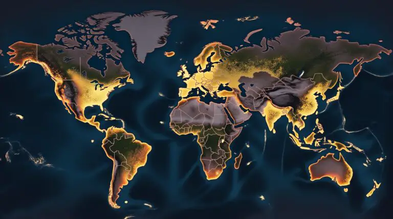
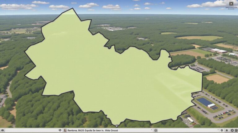
In today’s rapidly evolving urban landscapes, understanding and predicting future growth patterns is crucial for informed decision making. Traditionally, mapping land use has relied on manual analysis and complex geographic datasets. However, the advent of **Geospatial Artificial Intelligence (GeoAI)** has sparked a revolution in this field. GeoAI algorithms, trained on vast amounts of geospatial data, enable us to gain unprecedented insights into land use changes and their impact on cities.
What is GeoAI?
GeoAI is a branch of artificial intelligence (AI) that leverages the power of machine learning and deep learning to apply insights derived from geospatial data. These datasets can span a wide range of sources, including satellite imagery, aerial photographs, lidar scans, and geographic information systems (GIS) data.
* **Key Features of GeoAI:**
* **Automated Analysis:** GeoAI automates the analysis of vast amounts of geospatial data, allowing for faster, more efficient assessment of land use change.
* **High Accuracy:** GeoAI algorithms, with the aid of deep learning techniques, achieve higher levels of accuracy in identifying areas for development, identifying potential conflicts, and generating predictions.
* **Object detection & Classification:** Identifying and classifying objects within images or lidar scans for accurate mapping of built-up areas, vegetation, roads, and other features.
* **AI-Assisted Predictions:** GeoAI algorithms utilize statistically derived patterns in land use data to forecast future land use changes.
Benefits of AI-powered Land Use Mapping with GeoAI
* **Enhanced Density and Smart Growth:**
* Optimize land usage to maximize density to minimize urban sprawl.
* Predicting development, ensuring more efficient allocation of resources.
* **Effective Urban Planning:**
* Identify emerging land use patterns and ensure better allocation of infrastructure and public spaces.
* Optimize public transportation by analyzing commuting patterns.
* **Sustainable Development:**
* Reduced carbon footprint by optimizing transportation networks and land utilization.
* **Environmental Protection:**
* Identifying areas at risk of environmental degradation due to burgeoning urbanisation.
* **Improved Resource Management:**
* Optimize water usage through zoning and land management practices informed by AI-driven predictions.
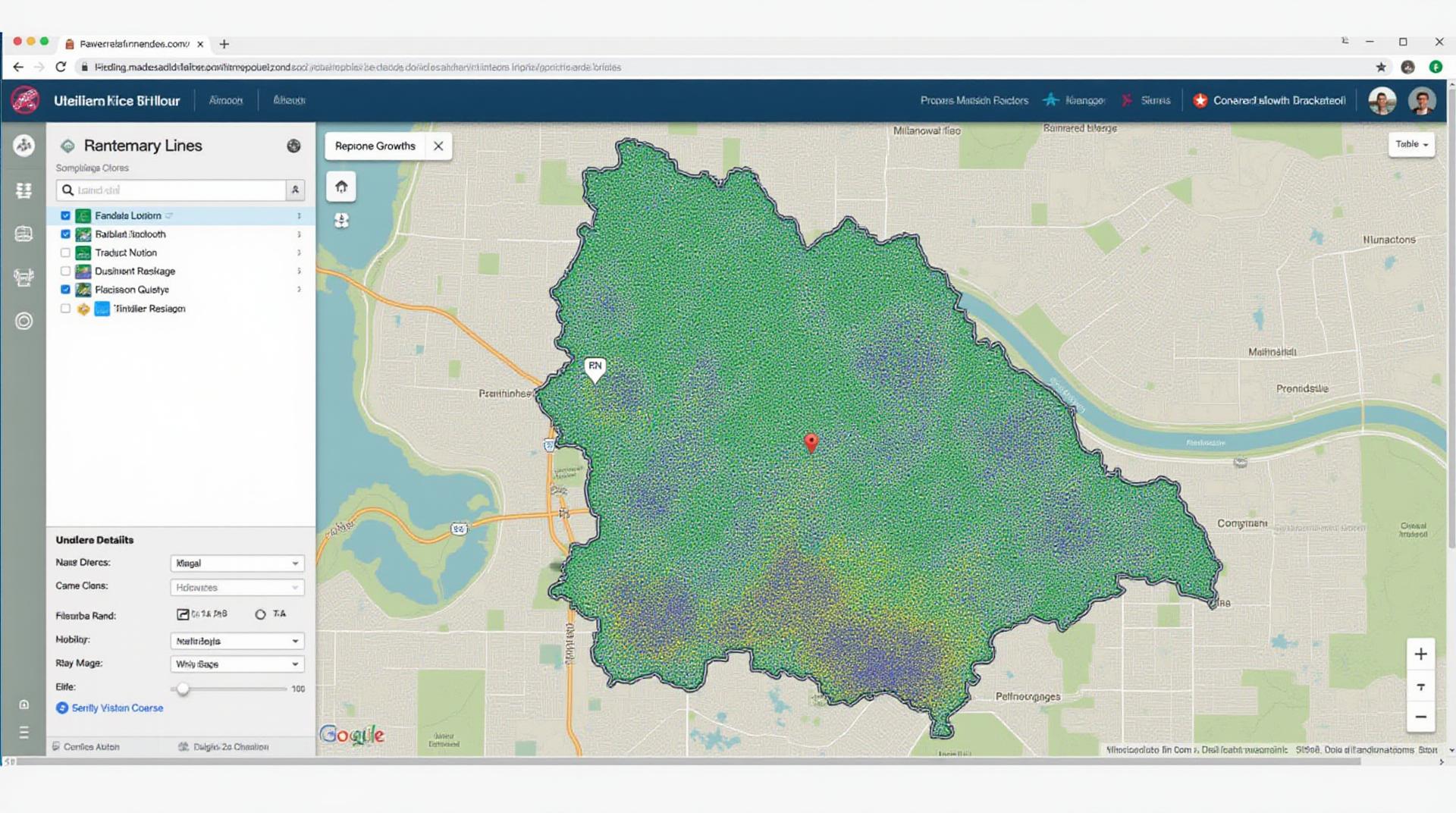
* **Visual Data Analysis:**
* Generate map visualizations and interactive dashboards for accessible insights for stakeholders.
Practical Applications of GeoAI in Urban Growth
The practical applications of GeoAI in land use mapping are vast and impactful:
* **Smart City Development:**
* Planning, managing resources, and optimizing infrastructure in real-time to improve citizen quality of life.
* **Smart Land Development:**
* Identifying suitable locations for commercial and residential development, preemptively avoiding market saturation and unneeded construction.
* **Emergency Response:**
* Optimizing emergency resource allocation based on real-time data obtained through surveillance and mapping technologies.
* **Environmental Monitoring:**
* Identifying areas of deforestation, pollution, and water stress to support environmental policy research and implementation.
* **Real Estate and Investment:**
* Assessing real-estate market properties, analyzing nearby development, and predicting potential investment returns.
Getting Started with GeoAI
Here are some resources that offer further information and guidance:
* **Platforms:** Google Earth Engine, ArcGIS Pro, QGIS
* **Research projects:** Open source research initiatives focused on city, environmental, or economic data and analytical techniques.
* **Academic Resources:** Look for university research papers and forums dedicated to GeoAI.
Conclusion**
AI-powered land use mapping with GeoAI is transforming how we understand, anticipate, and manage urban growth. It offers concrete and powerful solutions for facing the challenges of today’s increasingly densely populated urban environments, promoting sustainable and socially responsible urban development.
Start exploring GeoAI today, and be a part of unlocking its enormous potential to reshape the future of cities.
## FAQs: AI-Powered Land-Use Mapping with GeoAI
Ready to explore the future of land-use mapping? We’ve compiled some frequently asked questions to help you understand how **AI-powered land-use mapping with Geo AI** can revolutionize your projects:
Availability
**Q: Is AI-powered land-use mapping with Geo AI available now?**
**A:** Yes! We offer accessible solutions tailored to your specific needs.
Visit our website to discover our existing products and services, and book a demo to see how AI can streamline your land-use mapping processes.
Formats and Data
**Q: What data formats are compatible with your AI-powered Land Use mapping tool?**
**A:** We support a wide range of formats including:
* **Satellite imagery and LiDAR datasets:** These provide high-resolution imagery for detailed land cover classification.
* **Vector geospatial data:** This includes administrative boundaries, roads, water systems, and other features for context and accuracy.
* **Historical land use data:** We can integrate existing datasets to provide deeper insights into land use patterns.
Learn about available formats.
Usage and Benefits
**Q: What can I use AI-powered land-use mapping with Geo AI for?**
**A:**
* **Urban Planning:** Create projections of future land use, support infrastructure development, and identify areas for sustainable urban growth.
* **Natural Resource Management:** Monitor deforestation, predict wildfire risk, and optimize water resource management based on land cover changes.
* **Disaster Management:** Analyze impacts of hurricanes and floods, and predict potential land-use conflicts arising from environmental shifts.
* **Real Estate:** Assess properties for development potential, forecast rental yields, and monitor existing landpolate.
**Q: What kind of business problems does this technology solve?**
**A:** Our AI-powered tool solves business problems like:
* Optimizing resource allocation (transportation, land use, etc.) by mapping trending land use patterns.
* Predictive analysis: Anticipating changes in land use and environmental conditions.
### Conclusion
AI-powered land-use mapping with Geo AI is rapidly changing the landscape of how we analyze Earth’s features. By leveraging powerful AI algorithms and geo-spatial data, this technology allows informed, forward-leaning decision-making for wider society. With accessible solutions, enhanced data analysis, and powerful predictive capabilities, the future of land-use mapping is bright with the ability to:
* **Optimize resource allocation**, **reduce environmental impacts**, and **create smarter, more conductive future environments.**
**Don’t wait. Take advantage of this transformative technology! Start your journey towards smarter land management today.**