Artificial Intelligence in GeoSpatial Visualization – 3D Models
Artificial Intelligence in GeoSpatial Visualization: 3D Models
## Introduction
The world’s physical landscape is rich with data, encompassing diverse terrains, geographic features, and valuable information. Traditional approaches to visualize this information have limitations when it comes to capturing and interpreting detail. Enter GeoAI (Geospatial Artificial Intelligence), a cutting-edge field harnessing the power of AI to revolutionize how we interact with geospatial data. This post dives into the exciting world of GeoAI, focusing specifically on the advanced capabilities of 3D models.
## Key Features of GeoAI and 3D Modeling
GeoAI leverages machine learning algorithms, deep learning techniques, and natural language processing (NLP) to transform raw geospatial data. This powerful blend unlocks a new dimension in analytical capabilities, allowing us to generate rich, dynamic, and interactive 3D models.
* **Enhanced Data Quality:** GeoAI algorithms can rapidly process massive amounts of geospatial data, identifying patterns, and accurately predicting spatial trends.
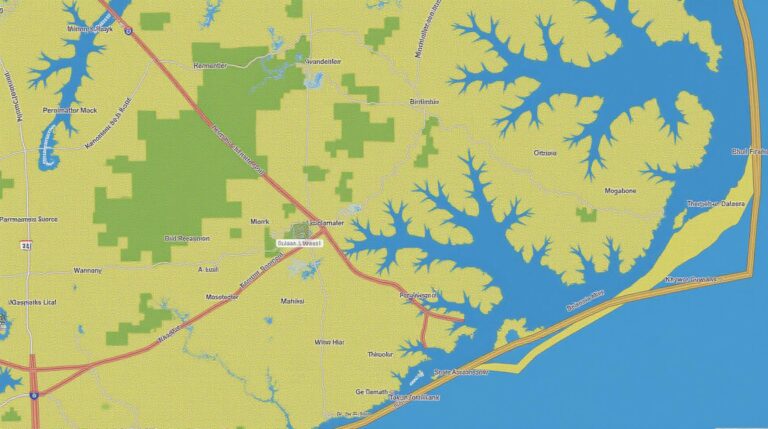
* **Automated Segmentation:** AI models can automatically segment datasets into meaningful features, such as buildings, vegetation, and water bodies, simplifying analysis and interpretation.
* **Real-Time Dynamic Updates:** 3D models are constantly learning and adapting to the latest geospatial information, incorporating real-time data updates in interactive workflows.
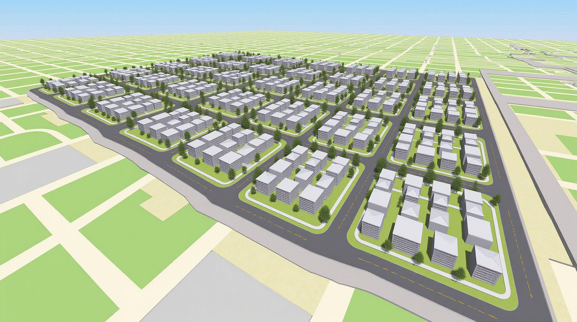
* **High-Fidelity Models:** AI-enabled tools can generate highly detailed, realistic 3D models with accurate textures, shadows, and lighting, bringing spatial data to life.
## Benefits of Incorporating GeoAI and 3D Models
* **Simulate Earth’s Processes:** GeoAI enables complex simulations of natural processes like ocean currents, wildfire spread, and landslide occurrences, providing valuable insights for disaster preparedness and mitigation.
* **Efficient Infrastructure Planning:** Design and optimize infrastructure projects using real-time simulations, becoming agile with dynamic terrain, and limitations on resources (data on the socioeconomic factors can add to information).
* **Enhanced Pollen Analysis:** AI can empower research in fields like climate change, epidemiology, and ecological studies. For example, it can automate pollen classification and enable accurate analysis of regional pollen distributions.
* **Improved Disaster Response:** Visualization tools powered by GeoAI can provide real-time data-driven support for disaster response, offering actionable insights for search and rescue, damage assessment, and emergency aid.
* **Enhanced Public Understanding:** Engaging visualizations are crucial for promoting public understanding of complex geospatial data relevant to topics like crime rates, traffic congestion, and environmental concerns.
## Practical Applications
The possibilities of GeoAI-powered 3D visualization are practically limitless, including:
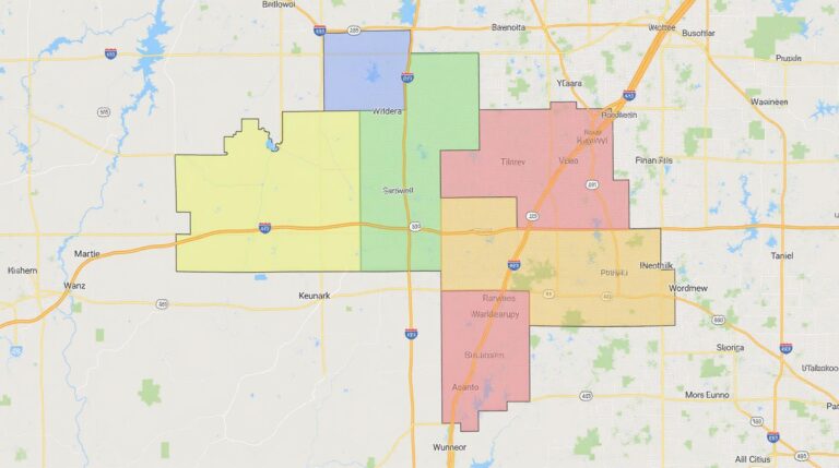
* **Architecture and Urban Planning:** Building virtual models of cities and buildings, enabling more accurate planning and analysis of urban spaces, construction projects, and traffic flow.
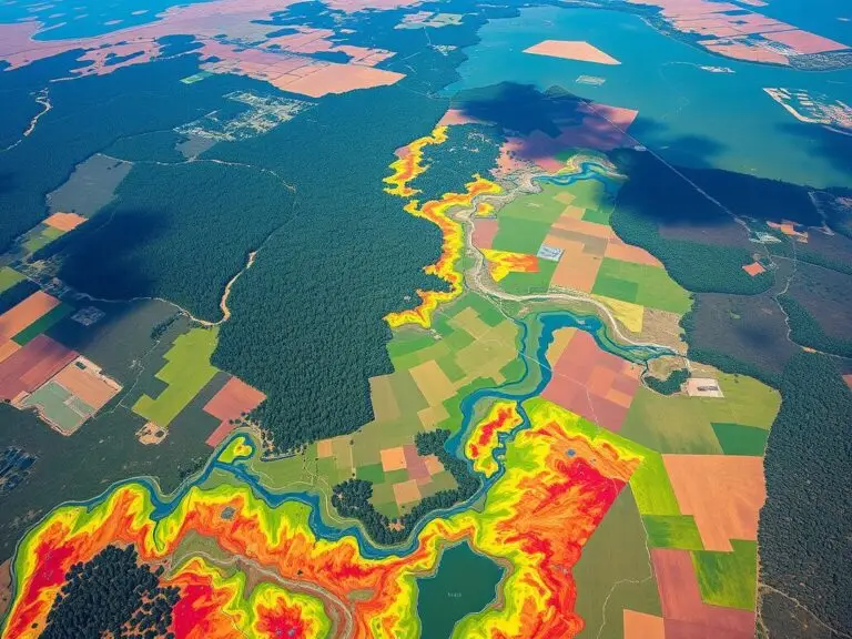
* **Environmental Monitoring & Defense:** Mapping deforestation patterns, monitoring oil spills, and predicting natural hazards, with AI helping analyze and visualize large datasets in real-time.
* **Scientific Research:** Reconstruction of geological formations from incomplete data, data-driven biodiversity analyses, and climate change modeling with advanced visualization.
* **Agriculture and Farming:** Simulating crop growth, optimizing irrigation systems, and generating precise location-based farming strategies.
* **Outdoor and Recreational Industries:** Creating immersive and interactive 3D experiences for mapping trails, providing information to outdoor enthusiasts and supporting wildlife conservation.
## Resources for Learning More
For a deeper dive into GeoAI and 3D model development, here are some valuable resources to check out:
* **GeoAI Platforms:**
* Mapbox: [https://www.mapbox.com/](https://www.mapbox.com/) (Provides tools and APIs for building geovisualization applications)
* QGIS Open Source Community: [https://qgis.org/](https://qgis.org/) (Excellent open-source GIS software with built-in processing and coding libraries)
* Google Earth Engine (GE) [https://developers.google.com/earth-engine/overview/](https://developers.google.com/earth-engine/overview/)
* **3D Library and Visualization Tools:**
* Blender: [https://www.blender.org/](https://www.blender.org/) (Multidisciplinary, open source CAD/CAM/3D-modeling software)
* Unreal Engine: [https://www.unrealengine.com/](https://www.unrealengine.com/) (Powerful game engine offering robust 3D capabilities)
* ArcGIS Space: [https://www.arcgis.com/en/pro-app/](https://www.arcgis.com/en/pro-app/) (Provides powerful geospatial analysis tools that integrate directly with popular 3D modeling software)
## Conclusion
GeoAI is changing the game for geospatial data analysis, visualization, and accessibility. Advancing 3D models eliminate barriers to access and understanding complex spatial data. With these powerful tools, we can unlock new insights, craft powerful representations, and ultimately navigate our world with precision. With continued advancements in AI and spatio-temporal data integration, we stand at the cusp of a new era in how we interact with the Earth’s complex datasets. Don’t hesitate to dive into the world of GeoAI; it’s transforming our view of the world – literally.
## Artificial Intelligence in Geospatial Visualization: FAQs
**What is Artificial Intelligence in Geospatial Visualization?**
Artificial intelligence (AI) in geospatial visualization uses machine learning algorithms and data science techniques to enhance the way we visualizes, analyze, and interpret geospatial data. This means AI can automate many traditional steps within geospatial work, simplifying complex mapping and data insights.
**What formats does this AI offer?**
AI is capable of generating visualizations in a variety of formats, including:
* **Interactive maps and dashboards:** These platforms allow users to explore data with dynamic filtering, data highlighting, and custom annotations.
* **Image maps:** AI-powered image processing can create imagery that automatically adjusts color palettes based on data, showcasing key spatial features.
* **3D models and simulations:** AI can help to generate realistic 3D models and simulate complex geographical patterns.
**Is the AI available for public use?**
Yes! There are numerous publicly accessible AI tools and platforms for geospatial visualization.
* Geopy.tech offers powerful data exploration and visualization capabilities with AI-powered natural language processing tools.
**How can I utilize this technology?**
Here are some practical applications:
* **Predictive mapping:** AI can assist in forecasting future events related to natural disasters, traffic, disease outbreaks.
* **Environmental monitoring:** Analyze changes in vegetation health, identify areas of deforestation, or track natural resource scarcity.
* **Urban planning:** Generate automatically optimized traffic flow, identify areas for housing development, and model the effects of city expansions.
* **Historical geospatial analysis:** Discover and analyze historical spatial patterns by understanding changes in land use, population distribution, or monumentation.
**What are some practical limitations of using AI-powered visualization tools?**
* **Data bias:** AI models can inherit biases present in their training datasets, leading to inaccurate or unfair results.
* **Data complexity:** AI can struggle to interpret highly complex or irregular datasets.
* **Overinterpretation and confirmation bias:** Relying solely on AI insights can lead to erroneous inferences without proper human scrutiny or context.
**Conclusion**
Artificial intelligence powered by machine learning and AI can revolutionize how we utilize geospatial visualizations. By combining powerful tools and insightful analyses, AI offers a transformative potential for understanding geographically based scenarios, predicting future trends, and gaining crucial insights from our planet’s ever-evolving landscape. The future of geospatial science is undeniably intertwined with harnessing the capabilities of AI in visualization.
**How to begin your AI-powered geospatial exploration!:**
* Collaborate with geospatial data experts: Seek out professionals who can guide you through appropriate techniques and ethical considerations.
* Experiment with open-source tools: Explore online platforms like the Carto.com and Plotly to experience how AI can enhance your data workflows.
* Participant in advanced analytics courses: Invest in developing your skills and expand your knowledge through dedicated workshops and online courses.