Loading and Organizing Spatial Data in QGIS
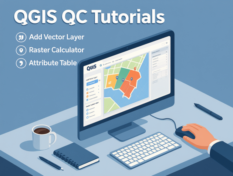
Credit: Youtube Channel “Statistics Canada” “`html Loading Spatial Data into QGIS QGIS supports a wide range of vector and raster formats. Loading data can be done in several ways: Drag & Drop: simply drag a file from your file manager into the Layers panel. Menu: Layer > Add Layer > Add Vector/Raster Layer. Browse to…