AI for Geospatial Data Validation – Error Detection
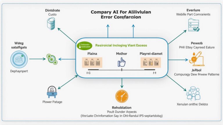
AI for Geospatial Data Validation – Error Detection In today’s data-driven world, geospatial data plays a crucial role in various sectors, from environmental monitoring to urban planning. However, inherent uncertainties and inconsistencies in real-world data often lead to significant challenges in understanding its accuracy and reliability. Enter artificial intelligence (AI), specifically AI models for Geospatial…