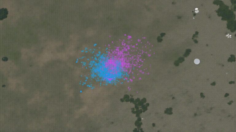
AI for Geospatial Data Smoothing – Noise Reduction
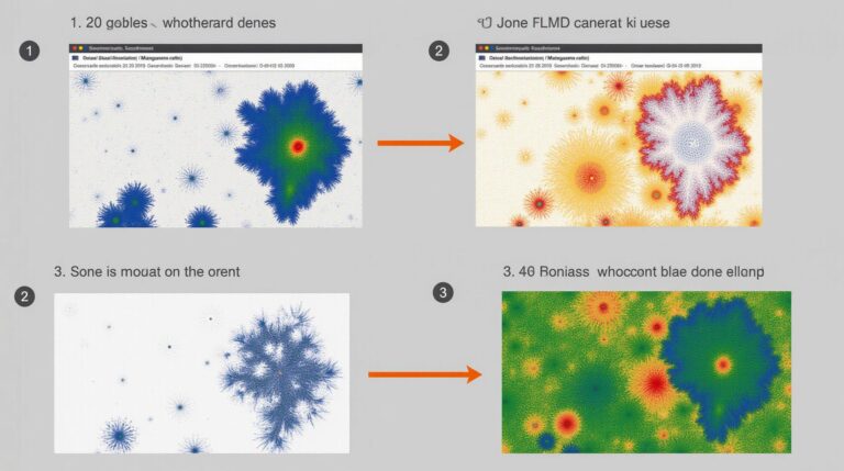
Smoothing the Data Landscape: Using AI for Geospatial Data Noise Reduction In the world of geospatial data, precision is paramount. However, noisy image and data sets, often stirred by inherent challenges such as sensor limitations and image processing artifacts, pose a significant obstacle to accurate analysis and insightful interpretation. Here we delve into the revolutionary…