AI in Geospatial Data Clustering – Spatial Grouping
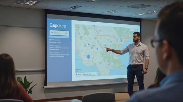
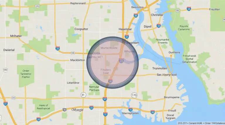
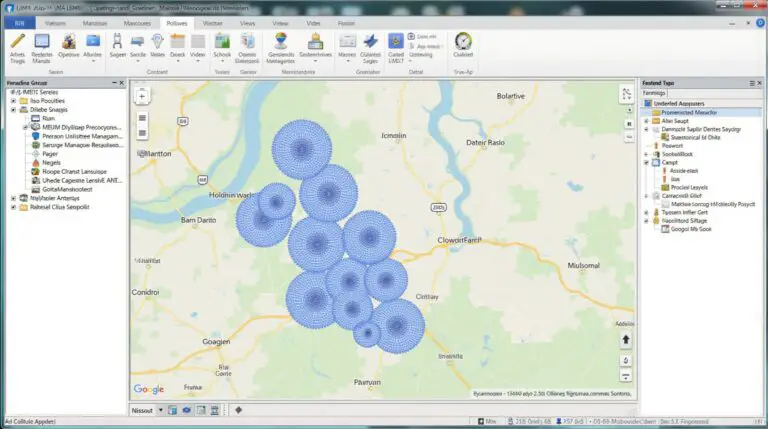
Unlocking Insights with AI in Geospatial Data Clustering: Spatial Grouping What is Geospatial Data Clustering and How Does AI Enhance It? Geospatial data clusters represent a powerful tool for analysis, allowing us to discern geographic patterns and trends. In simple terms, they group geographically proximate data points (often locations) based on their similarities. Think of…