AI in Geospatial Data Sampling – Efficient Analysis
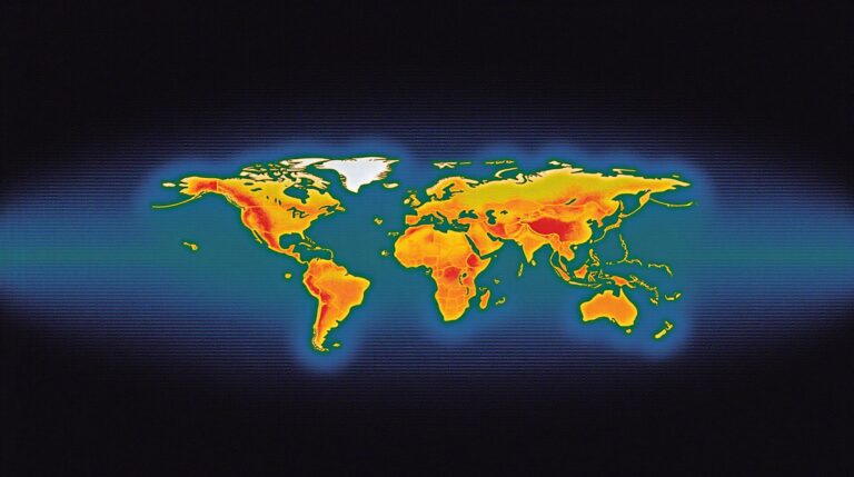
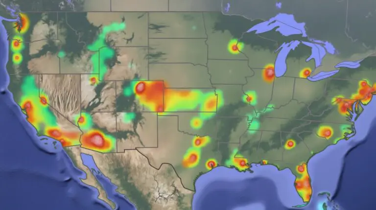
AI in Geospatial Data Sampling: Efficient Analysis The era of Big Data has revolutionized various sectors, and geospatial data, with its rich insights into location-based information, is no exception. But analyzing vast amounts of geospatial data can be a daunting task. That’s where Artificial Intelligence (AI) comes in, offering valuable tools for efficient data sampling…