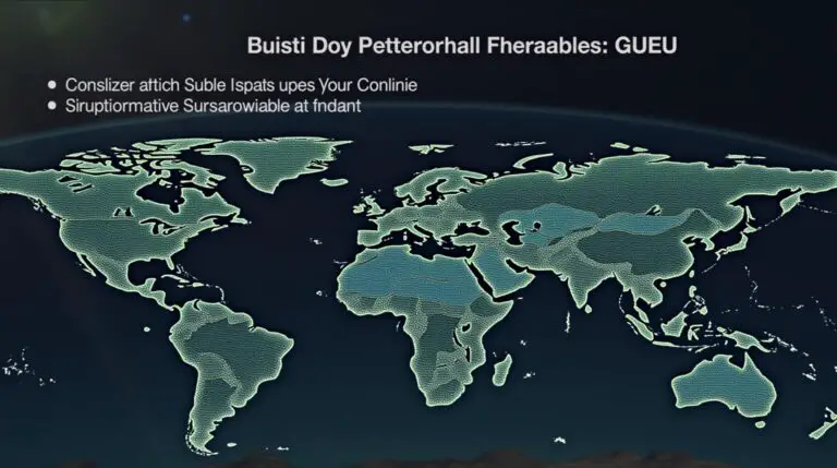
World Oceans in shapefile Geojson Kml format for Download

Download World Oceans in Shapefile, GeoJSON and KML Format

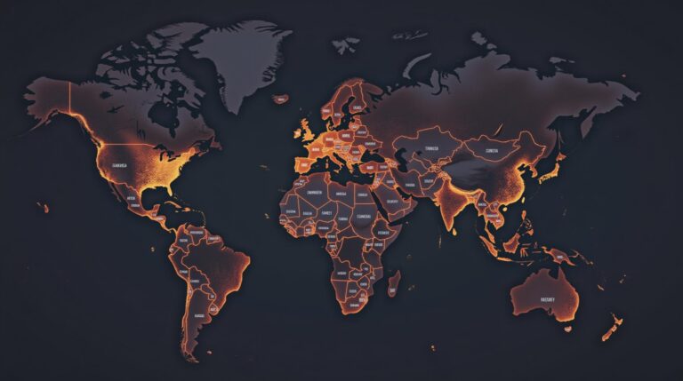
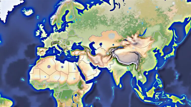
The world’s oceans cover more than 70% of the Earth’s surface, playing a critical role in regulating climate, supporting biodiversity, and sustaining human life. For researchers, geographers, and GIS (Geographic Information Systems) enthusiasts, having access to accurate and detailed spatial data of the world’s oceans is essential. Whether you’re mapping marine ecosystems, analyzing ocean currents,…

zip code map of tucson arizona

Zip Code Map of Tucson Arizona: Everything You Need to Know

Tucson, Arizona, a vibrant city known for its rich cultural heritage, stunning desert landscapes, and thriving arts scene, is divided into several unique areas defined by their ZIP codes. Whether you’re a resident, a visitor, or someone considering moving to the region, understanding Tucson’s ZIP code map can help you navigate the city more effectively….

Bucees Locations Map

Interactive Buc-ee’s Locations Map With Full List

Are you a fan of Buc-ee’s and looking for Buc-ee’s Locations Map, the iconic Texas-based convenience store chain known for its clean restrooms, delicious Beaver Nuggets, and massive travel centers? Whether you’re planning a road trip or just curious about where to find the nearest Buc-ee’s, we’ve got you covered! Our Buc-ee’s Locations Map is…

Watauga County GIS

Your Guide to Watauga County GIS: Maps, Data, and More

The Watauga County GIS system is a powerful tool. It gives access to lots of geographic data. This includes property maps and more, all through the Watauga County GIS. This system helps people navigate the county’s geography. It’s great for residents, businesses, and visitors. If you want to explore the county’s maps and data, this…

AI for Wildfire Prevention

Leveraging Geospatial Tech & AI for Wildfire Prevention and Forecasting

Geospatial technology is key in stopping and predicting wildfires in Los Angeles. When paired with AI, it boosts these efforts. This combo helps authorities predict and prevent wildfires more accurately. Los Angeles uses advanced tech like geographic information systems and remote sensing. These tools help understand wildfire risks and prevent them. This is vital for…

catawba county gis zoning information

Catawba County GIS DATA

The Catawba County GIS portal offers a wide range of mapping and property data. This includes real estate maps, reports, and analysis. It’s key for catawba county gis and gis mapping, and it includes property data1. Users can access different types of data with catawba county gis. This includes Restaurant & Lodging Inspection Scores, 2ft…

Texas County Map

Texas County Map Download 2024 – Free USA Maps

Exploring Texas is now easier with the Texas County Map. It shows all 254 counties of the state. This map is great for students, business people, and travelers. The map covers the whole state. It shows counties, their borders, and key cities and landmarks. It’s perfect for anyone wanting to know Texas better. Key Takeaways…

Atlanta zip code Map

New Atlanta Zip Code Map Districts Postal Areas

Exploring Atlanta can be tough, especially with its complex postal code system. The Atlanta zip code map is key for everyone. It shows the city’s postal areas and the different neighborhoods they cover. This article dives into Atlanta’s zip code system. We’ll look at its history, structure, and why it matters. Knowing about Atlanta’s zip…