Integrating GeoAI into GIS for Enhanced Analysis – Data Layers
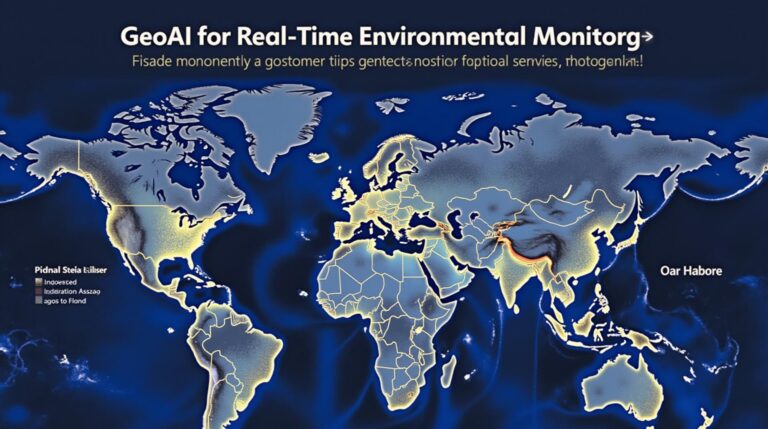
Integrating GeoAI into GIS for Enhanced Analysis: Data Layers The Future of Spatial Intelligence Data is the lifeblood of modern decision-making, and never has it been more apparent in the realm of spatial analysis. Thankfully, Geospatial Artificial Intelligence (GeoAI) is transforming how we analyze data georeferenced on Earth’s surface. This blog post explores the world…