GeoAI for Real-Time Monitoring – IoT
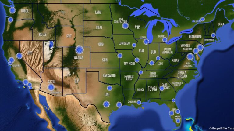
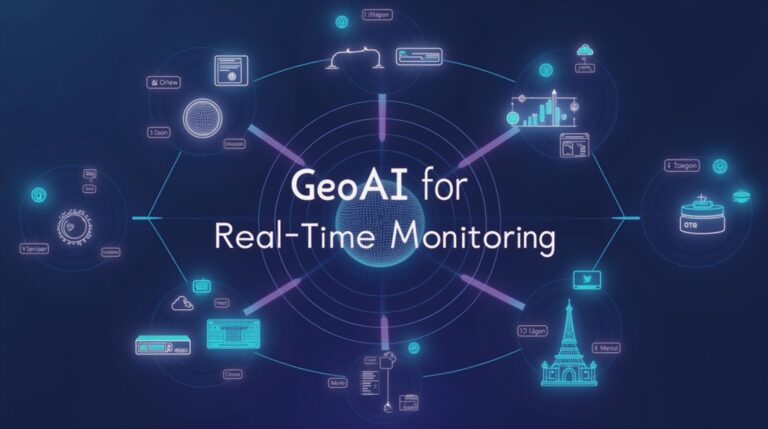
GeoAI for Real-Time Monitoring – IoT: An In-Depth Look The sheer volume of real-time data generated by the Internet of Things (IoT) is staggering. Whether it’s machine sensor data, traffic patterns, or natural phenomena, the raw information is abundant and ever-increasing. This presents a significant challenge – efficiently processing and analyzing this information to gain…