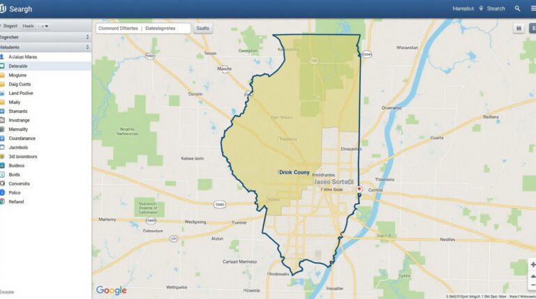
New Hanover County, NC GIS: Coastal Mapping Tools
‘;} scheme_background); 498.)} } assets} }) “—}}} –> }; }); workflow, — ** } This link And so on. And ** “; GIS Data FAQs What is GIS data? GIS (Geographic Information System) data is geographic information organized electronically for analysis, visual exploration, and decision-making. It consists of layers of data showing spatial relationships, including…