geoai-waste-management

GeoAI for Smart Waste Management – Resource Optimization

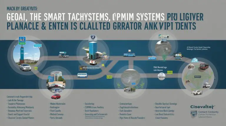
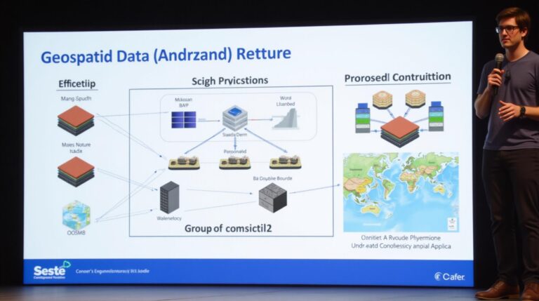
GeoAI for Smart Waste Management – Optimizing Resource Utilization Waste management is a critical concern globally. As population grows and urbanization intensify, efficient management of waste becomes even more crucial. GeoAI is emerging as a powerful tool to revolutionize waste management practices, driving resource savings, and helping address environmental challenges. Let’s explore the fascinating world…

geoai-data-validation

AI for Geospatial Data Validation – Quality Assurance

AI for Geospatial Data Validation – Quality Assurance In today’s data-driven world, the quality of geospatial data is of paramount importance. Its accuracy, consistency, and timeliness are crucial for decision-making in areas like urban planning, environmental management, disaster prediction, and more. However, the vast and complex datasets involved in geospatial analysis often require rigorous quality…

geoai-urban-heat-island

GeoAI for Urban Heat Island Mitigation – Climate Adaptation

GeoAI for Urban Heat Island Mitigation – A Crucial Tool in Climate Adaptation Introduction Cities around the world are facing the dual challenge of rapid urbanization and climate change. Urban heat islands (UHIs), where temperatures are significantly higher than surrounding rural areas, pose a severe risk to urban populations and the environment. GeoAI, a powerful…

geoai-data-fusion

AI in Geospatial Data Fusion – Multi-Sensor Integration

AI in Geospatial Data Fusion: Multi-Sensor Integration The landscape of geospatial data is evolving rapidly, with an unprecedented proliferation of sensors capturing diverse, multi-faceted information. This surge in data offers incredible potential for informed decision-making, predictive modeling, and improved situational awareness. However, effectively harnessing this wealth of data necessitates a sophisticated approach – Multi-Sensor Integration…

geoai-precision-farming

GeoAI for Smart Agriculture – Precision Farming

GeoAI for Smart Agriculture – Precision Farming In the rapidly evolving agricultural landscape, precision farming stands out as a critical driver of innovation. GeoAI, the integration of artificial intelligence and geospatial data, has emerged as a vital force in revolutionizing farming practices, achieving unprecedented levels of efficiency and sustainability. What is GeoAI for Smart Agriculture?…

geoai-data-annotation

AI for Geospatial Data Annotation – Automated Labeling

AI for Geospatial Data Annotation – Automated Labeling The world is awash in geospatial data, from satellite images to aerial photos, lidar scans, and even GPS records. This wealth of information holds immense potential for understanding our planet and its various aspects – but extracting true value from it requires significant human effort. Enter AI-driven…

geoai-flood-risk

GeoAI for Flood Risk Assessment – Predictive Modeling

GeoAI for Flood Risk Assessment – Predictive Modeling With rising sea levels and increasingly erratic weather patterns, flood risks are becoming a significant global threat. GeoAI, the integration of geographic information systems (GIS) with artificial intelligence (AI), is bringing transformative solutions to flood risk assessment and mitigation. This blog post dives into the world of…

geoai-image-analysis

AI in Geospatial Data Interpretation – Image Analysis

Harnessing the Power of AI for Geospatial Data Interpretation: Image Analysis Machine learning and deep learning, encompassing Artificial Intelligence (AI), are profoundly transforming various industries, including geospatial data interpretation, with groundbreaking applications in image analysis. What is Image Analysis in the Context of Geospatial Data? In geospatial data, image analysis involves using image data to…

geoai-smart-transportation

GeoAI for Smart Transportation Systems – Traffic Optimization

GeoAI for Smart Transportation Systems – Traffic Optimization Overwhelmed by traffic? Constantly stuck in gridlock? As the world’s population explodes, urban congestion becomes a global challenge. This is where GeoAI, the powerful intersection of geography and artificial intelligence, steps in to revolutionize the way we look at and manage our transportation systems. Opening the Doors…

geoai-data-compression

AI for Geospatial Data Compression – Efficient Storage

AI for Geospatial Data Compression: Efficient Storage The global demand for geospatial data is growing exponentially, driving a need to optimize storage and analysis capabilities. Traditional methods like raster format often struggle with large datasets, particularly in a world increasingly dominated by high-resolution remote sensing imagery, detailed maps, and dynamic GIS models. This is where…