geoai-optimizes-emergency-response-search-rescue

How GeoAI Optimizes Emergency Response – Search & Rescue

How GeoAI Optimizes Emergency Response – Search & Rescue The global focus on collaborative and efficient emergency response has grown immensely, driving a sharp rise in the demand for innovative technology solutions. GeoAI, with its ability to seamlessly analyze massive amounts of geospatial data, is proving to be a game-changer in emergency management, particularly in…

geoai-population-health-mapping-disease

Using GeoAI for Population Health Mapping – Disease Mapping

Using GeoAI for Population Health Mapping – Disease Mapping In today’s sophisticated healthcare landscape, understanding health trends and predicting disease outbreaks requires innovative approaches. Enter GeoAI, a powerful combination of Geographic Information System (GIS) technology and Artificial Intelligence (AI), revolutionizing how we analyze and address disease evolution. What is GeoAI and How Does it Work?…

geoai-managing-natural-resources-mining-water

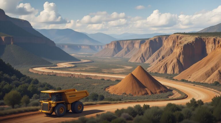
GeoAI for Managing Natural Resources – Mining

## Managing Natural Resources: Embracing the Power of GeoAI For centuries, we’ve relied on our understanding of the Earth’s natural resources. Mining ore from the ground, farming the land, and managing forests – these are our legacies as a species. However, facing unprecedented environmental challenges, the future needs a smarter, more precise approach to mining,…

geoai-smart-agriculture-crop-yield-predictions

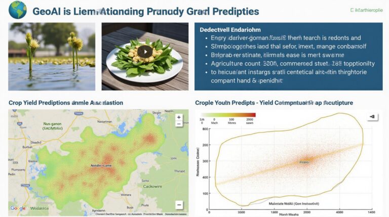
How GeoAI is Used in Smart Agriculture – Crop Yield Predictions

How GeoAI is Used in Smart Agriculture: Crop Yield Predictions The global food demand is steadily increasing, leading to a constant need for efficient agricultural practices. This is where GeoAI plays a pivotal role, revolutionizing the way we approach farming by providing accurate and timely insights. GeoAI, leveraging the power of artificial intelligence and geospatial…

ai-land-cover-classification-remote-sensing

AI in Land Cover Classification – Remote Sensing

AI in Land Cover Classification – Remote Sensing Introduction to Geospatial Artificial Intelligence (GeoAI) Remote sensing, the science of obtaining information about distant objects or phenomena without direct physical contact, has been revolutionized by the advent of deep learning and artificial intelligence (AI). This marriage of technology has paved the way for the development of…

ethics-of-geoai-privacy-data-security

The Ethics of GeoAI – Privacy

The Ethics of GeoAI: Privacy Under the Microscope GeoAI, or Geospatial Artificial Intelligence, uses the power of AI to gather data and analyze information from geographic sources. With its ability to transform vast amounts of spatial data, GeoAI holds a powerful promise for many applications, but also presents significant ethical concerns, particularly regarding privacy. What…

geoai-global-disaster-relief-resource-allocation

GeoAI for Global Disaster Relief – Mapping Affected Areas

## GeoAI: Reshaping Global Disaster Relief through Map-Driven Innovation In an increasingly unpredictable world, disaster relief operations need to be swift, efficient, and data-driven. Global disasters, from earthquakes and floods to pandemics and wildfires, pose unprecedented challenges demanding timely and precise responses. Enter GeoAI, the confluence of Artificial Intelligence (AI) and Geospatial Technology, revolutionizing disaster…

geoai-urban-mobility-transportation-planning

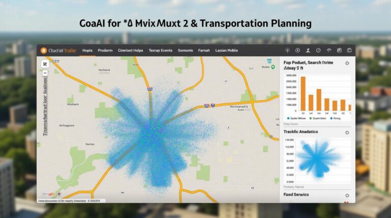
GeoAI for Urban Mobility and Transportation Planning – Traffic Analysis

## GeoAI for Urban Mobility: Traffic Analysis & The Future of Transportation Planning Traffic congestion, pollution, and an inability to navigate our cities efficiently are some of our most pressing urban challenges. Enter GeoAI, a powerful tool emerging as a game-changer in urban mobility and transportation planning. This blog post explores how GeoAI can analyze…

ai-geospatial-feature-extraction-image-processing

AI in Geospatial Feature Extraction – Image Processing

AI in Geospatial Feature Extraction: Image Processing. The world is increasingly turning to Artificial Intelligence for complex analysis, and nowhere is this more clear than in geospatial data processing. Geospatial Artificial Intelligence (GeoAI) leverages powerful AI algorithms to analyze and extract valuable insights from geographical data. One crucial aspect of this revolution is **image processing**….

geoai-earthquake-tsunami-prediction-seismic-data

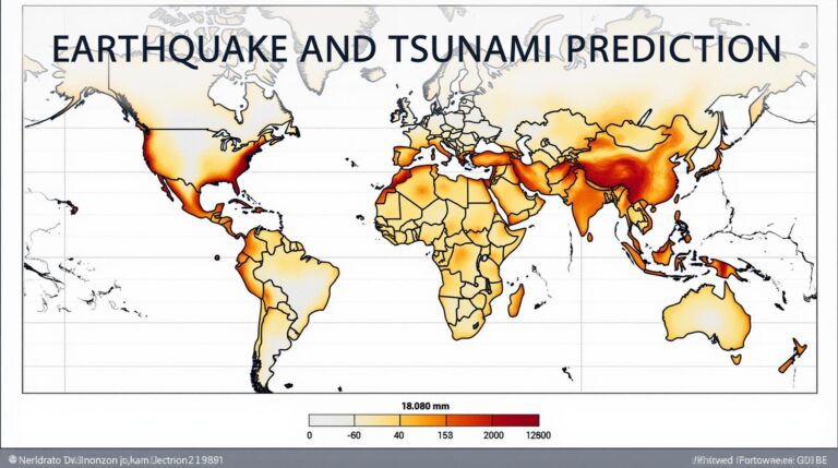
GeoAI for Earthquake and Tsunami Prediction – Seismic Data

## Earthquake and Tsunami Prediction: Harnessing the Power of GeoAI The terrifying consequences of natural disasters, specifically earthquakes and tsunamis, demand constant vigilance and innovative solutions for prediction and mitigation. Enter GeoAI, a revolutionary field leveraging artificial intelligence and geospatial data to unlock vital insights and improve preparedness. This burgeoning technology offers potent tools to…