deep-learning-geospatial-image-classification

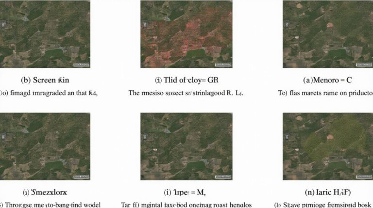
Deep Learning for Geospatial Image Classification – Training Models

Deep Learning for Geospatial Image Classification – Training Models Deep Learning for Geospatial Image Classification – Training Models As our planet faces the challenges of sustainable development and environmental protection, understanding and analyzing geospatial data becomes increasingly crucial. Geospatial artificial intelligence (GeoAI) utilizes deep learning techniques to meet the growing need for intelligent analysis of…

ai-geospatial-data-mining-pattern-recognition

AI in Geospatial Data Mining – Pattern Recognition

AI in Geospatial Data Mining: Pattern Recognition The world is crawling with data, and geospatial data—information about the Earth’s surface and its features—represents a massive and untapped resource. As the sheer scale of geospatial data continues to grow, uncovering patterns and valuable insights becomes increasingly complex. That’s where AI, specifically, Pattern Recognition in Geospatial Data…

geoai-climate-adaptation-strategies-sustainability

GeoAI for Climate Adaptation Strategies – Environmental Modeling

GeoAI for Climate Adaptation: Environmental Modeling Our planet is facing an unprecedented climate crisis. Extreme weather events are becoming more frequent and severe, causing widespread damage to infrastructure, agriculture, and even human lives. Moving forward, we need innovative solutions to build resilience and adapt effectively to changing environmental conditions. Enter GeoAI – the synergy of…

geoai-flood-prediction-management-risk-analysis

The Role of GeoAI in Flood Prediction and Management – Flood Mapping

The Role of GeoAI in Flood Prediction and Management – Flood Mapping Floods are a devastating natural hazard, causing widespread property damage and loss of life. Predicting and managing floods effectively is crucial for disaster preparedness and resilience. GeoAI, a groundbreaking tool that combines geospatial data with advanced artificial intelligence, is emerging as a powerful…

geoai-identify-natural-disasters-landslides

Using GeoAI to Identify Natural Disasters – Landslides

Using GeoAI to Identify Natural Disasters: Landslides Landslides, encompassing various types of geological events like debris flow, earthflow, and rockfall, pose a significant threat to communities and infrastructure worldwide. Natural disasters can impact densely populated areas and inflict substantial economic and social damage. Fortunately, the rise of GeoAI brings a revolutionary solution to landslide identification,…

geoai-monitoring-water-resources-hydrology

GeoAI for Monitoring Water Resources – Hydrology

GeoAI for Monitoring Water Resources: A Deep Dive into Hydrology ### Introduction Water resources, the lifeblood of our planet, are facing increasing pressure from climate change, pollution, and burgeoning populations. Hydrologists, responsible for studying and managing our planet’s water systems, are relying on ever-evolving tools to gain meaningful insights and make informed decisions. Enter GeoAI,…

geoai-changing-mapping-industry-cartography

How GeoAI is Changing the Mapping Industry – Cartography

How GeoAI is Changing the Mapping Industry – Cartography The mapping industry, synonymous with accuracy and detailed representation of the Earth’s surface, is ripe for a technological revolution. Enter Geospatial Artificial Intelligence (GeoAI), a powerful new tool transforming cartography, making maps smarter and more dynamic. Let’s explore how GeoAI is changing the industry, its key…

geoai-big-data-analytics-spatial-data

GeoAI and Big Data Analytics – Spatial Data

GeoAI and Big Data Analytics: Unlocking Spatial Insights with Artificial Intelligence In today’s data-driven world, understanding spatial information is becoming increasingly crucial. The marriage of GeoAI (Geospatial Artificial Intelligence) with Big Data Analytics offers exciting possibilities for extracting valuable insights from proprietary and real-time data, transforming how businesses and organizations operate. What is GeoAI? GeoAI…

machine-learning-algorithms-for-geoai-decision-trees

Machine Learning Algorithms for GeoAI – Decision Trees

Machine Learning Algorithms for GeoAI – Decision Trees An in-depth Guide The intersection of geospatial data and artificial intelligence (AI) is revolutionizing how we understand and interact with the world around us. This burgeoning field, known as GeoAI, is significantly impacting research, urban planning, environmental monitoring, and many other areas. This blog post will delve…

artificial-intelligence-in-geospatial-visualization

Artificial Intelligence in GeoSpatial Visualization – 3D Models

Artificial Intelligence in GeoSpatial Visualization: 3D Models ## Introduction The world’s physical landscape is rich with data, encompassing diverse terrains, geographic features, and valuable information. Traditional approaches to visualize this information have limitations when it comes to capturing and interpreting detail. Enter GeoAI (Geospatial Artificial Intelligence), a cutting-edge field harnessing the power of AI to…