future-of-geoai-trends-emerging-technologies

The Future of GeoAI – Trends

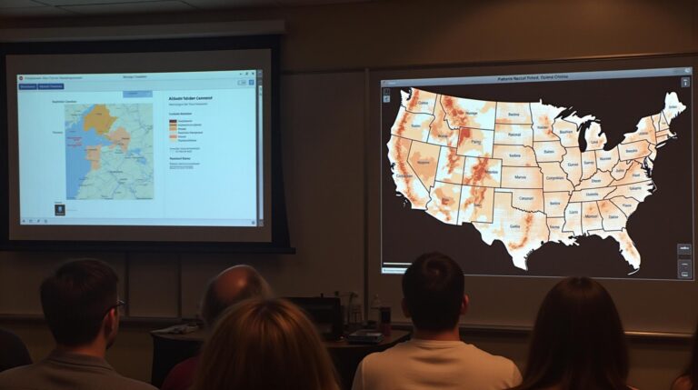
The Future of GeoAI – Trends The confluence of geospatial data and artificial intelligence is revolutionizing the way we collect, analyze, and predict the world around us. GeoAI, or Geospatial Artificial Intelligence, is driving unprecedented opportunities across diverse industries, from urban planning and environmental monitoring to resource management and disaster response. Understanding GeoAI GeoAI employs…

ai-driven-spatial-analysis-in-gis-pattern-recognition

AI-Driven Spatial Analysis in GIS – Pattern Recognition

AI-Driven Spatial Analysis in GIS: Pattern Recognition The world is awash in data. We generate an unimaginable amount of information every day, and much of it is tied to our geographical location. This interconnectedness has ushered in a new era of spatial analysis, one that leverages the power of Artificial Intelligence (AI) to unlock hidden…

geoai-smart-cities-infrastructure-traffic-management

GeoAI in Smart Cities – Infrastructure

GeoAI in Smart Cities – Infrastructure The world is rapidly urbanizing, with cities experiencing exponential growth in population and complexity. This presents significant challenges in managing infrastructure, keeping citizens safe, and ensuring sustainable development. Enter GeoAI, a transformative force harnessing the power of Artificial Intelligence (AI) and spatial data to analyze and optimize urban systems….

geoai-applications-in-transportation-traffic-prediction

GeoAI Applications in Transportation – Traffic Prediction

GeoAI Applications in Transportation: Traffic Prediction The transportation sector is fraught with complexity. Managing traffic flow efficiently is crucial for optimizing travel times, minimizing congestion, and reducing emissions. Enter GeoAI, an innovative field leveraging the power of Artificial Intelligence to analyze and understand our world in a geographically aware manner. This blog post dives into…

geoai-enhances-remote-sensing-object-detection

How GeoAI Enhances Remote Sensing Data Analysis – Object Detection

How GeoAI Enhances Remote Sensing Data Analysis – Object Detection Remote sensing plays a crucial role in various fields, including agriculture, forestry, disaster management, and environmental monitoring. The abundance of satellite and aerial imagery offers valuable insights, but analyzing this vast data can be challenging. This is where GeoAI emerges as a powerful tool. GeoAI…

predictive-modeling-with-geoai-spatial-forecasting

Predictive Modeling with GeoAI – Spatial Forecasting

Predictive Modeling with GeoAI – Spatial Forecasting What is GeoAI? GeoAI, or Geospatial Artificial Intelligence, encompasses the application of AI algorithms and techniques to information housed within geographic context. By fusing traditional GIS (geographic Information System) environments with cutting-edge algorithms and data processing pipelines, GeoAI unlocks a wealth of opportunity that was previously unimaginable. Think…

geoai-environmental-monitoring-climate-change

GeoAI in Environmental Monitoring – Climate Change

GeoAI in Environmental Monitoring: Combatting Climate Change Through Powerful Data ### Introduction: Mapping Our Path to Sustainability Climate change poses an unprecedented challenge to our planet. Rising temperatures, extreme weather events, and habitat destruction are ongoing consequences. To effectively address these challenges, we need innovative and collaborative approaches. Enter GeoAI, which combines the power of…

geoai-disaster-management-emergency-response

GeoAI for Disaster Management – Emergency Response

GeoAI for Disaster Management – Emergency Response The world is facing increasing frequency and intensity of natural disasters. Handling such events efficiently and with minimal damage is crucial for saving lives and minimizing economic losses. Geospatial Artificial Intelligence (GeoAI) is emerging as a game-changer in disaster management, providing real-time insights and accurate predictions for proactive…

ai-geospatial-data-fusion-data-integration

AI and Geospatial Data Fusion – Data Integration

AI and Geospatial Data Fusion: Data Integration for a Smarter Future Introduction The age of data is upon us, and increasingly, we’re harnessing it to make decisions, solve problems, and innovate. Within this data explosion lies geospatial data – information whose location is crucial for understanding the world we live in. Geospatial artificial intelligence (GeoAI)…

machine-learning-in-gis-spatial-data-ai-models

Exploring Machine Learning in GIS – Spatial Data

Exploring Machine Learning in GIS – Spatial Data The landscape of geospatial data is ever evolving. Amidst the vast sea of information, The fusion of Artificial Intelligence (AI) and Geographic Information Systems (GIS) has emerged as a potent technology, revolutionising the way we analyze, understand, and interact with space and its intricacies. This burgeoning field,…