geoai-pest-detection

GeoAI for Smart Agriculture – Pest Detection

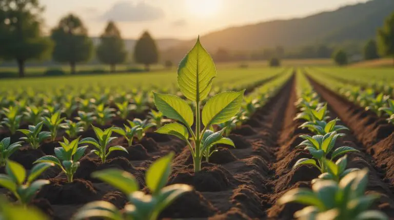
Unmasking the Enemy from afar: GeoAI for Pest Detection in Smart Agriculture Modern agriculture, driven by innovation, seeks to optimize resource use and maximize yields. One of the major hurdles remains the effective management of pests and diseases. Luckily, GeoAI, a powerful tool leveraging data visualization, is altering the game for smart agriculture. This technology…

geoai-data-smoothing

AI for Geospatial Data Smoothing – Noise Reduction

AI for Geospatial Data Smoothing – Noise Reduction In the increasingly data-driven world of geographically-related information, analyzing impactful insights from immense spatial datasets can be challenging. However, with the emergence of AI and Machine Learning, a new level of detail and usability is emerging, specifically when addressing the issue of “noise reduction” from geospatial data….

geoai-water-quality

GeoAI for Smart Water Quality Monitoring – Pollution Detection

GeoAI for Smart Water Quality Monitoring – Pollution Detection The need for reliable and efficient water quality monitoring is paramount. But traditionally, this process has been time-consuming, expensive, and prone to inaccuracy. Enter GeoAI: the fascinating intersection of Artificial Intelligence (AI) and Geographic Information Systems (GIS). This potent combination is revolutionizing pollution detection, enabling us…

geoai-data-aggregation

AI in Geospatial Data Aggregation – Summarization

AI in Geospatial Data Aggregation: Summarization The world’s geospatial data is a trove of complex, multifaceted information, encompassing everything from demographics and topography to pollution levels and road networks. But managing and making sense of this vast landscape can be a burden. Enter artificial intelligence (AI), a powerful tool that’s revolutionizing how we aggregate and…

geoai-route-optimization

GeoAI for Smart Transportation – Route Optimization

GeoAI for Smart Transportation: Revolutionizing Route Optimization In today’s data-driven world, the transportation sector is witnessing a transformative shift. Expectations for efficiency, cost optimization, and sustainability are fueling the demand for smart solutions. Enter GeoAI, a powerful technology leveraging artificial intelligence (AI) and geographic information systems (GIS) to revolutionize transportation processes, especially route optimization. What…

geoai-data-reconstruction

AI for Geospatial Data Reconstruction – Missing Data

Leveraging AI for Geospatial Data Reconstruction: Filling the Gaps Geospatial data, encompassing Earth observations and location-based information, has become an indispensable resource for understanding the world around us. However, incomplete datasets, due to factors like sensor obsolescence, sensor failure, or errors due to human intervention, hinder the ability to derive valuable insights. To overcome this…

geoai-city-lighting

GeoAI for Smart City Lighting – Energy Efficiency

GeoAI for Smart City Lighting – Energy Efficiency The future of lighting in our urban landscape is smart and sustainable, driven by GeoAI technology. By harnessing the power of Geographic Information Systems (GIS) and Artificial Intelligence (AI), cities worldwide can illuminate streets and parks with efficiency while minimizing energy consumption. Let’s dive into the key…

geoai-data-transformation

AI in Geospatial Data Transformation – Data Conversion

Harnessing AI for Geospatial Data Transformation: The Power of Data Conversion The world is drowning in data. From satellite imagery to sensor readings and maps, geospatial data is a vast and diverse resource representing our planet. But transforming this raw information into usable insights requires effective tools, and at the forefront of this transformation lies…

geoai-soil-health

GeoAI for Smart Agriculture – Soil Health Monitoring

GeoAI for Smart Agriculture: Unlocking the Potential of Soil Health Monitoring Using the power of AI and GIS, GeoAI is transforming how we monitor and manage soil health in smart agriculture. This technology analyzes vast datasets from various sources – like satellites, drones, and sensors – to generate actionable insights, paving the way for more…

geoai-data-augmentation

AI for Geospatial Data Augmentation – Enhanced Datasets

AI for Geospatial Data Augmentation – Enhanced Datasets Geospatial data plays a crucial role in numerous industries, from environmental monitoring to urban planning. However, there is often a lack of high-quality data for training machine learning models, especially in areas with scarce observations or diverse environments. Enter artificial intelligence and data augmentation – it’s revolutionizing…