World Oceans in shapefile Geojson Kml format for Download

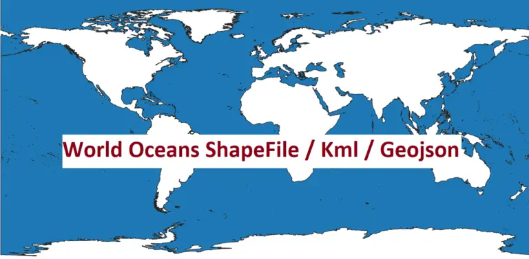
Download World Oceans in Shapefile, GeoJSON and KML Format

The world’s oceans cover more than 70% of the Earth’s surface, playing a critical role in regulating climate, supporting biodiversity, and sustaining human life. For researchers, geographers, and GIS (Geographic Information Systems) enthusiasts, having access to accurate and detailed spatial data of the world’s oceans is essential. Whether you’re mapping marine ecosystems, analyzing ocean currents,…

catawba county gis zoning information

Catawba County GIS DATA

The Catawba County GIS portal offers a wide range of mapping and property data. This includes real estate maps, reports, and analysis. It’s key for catawba county gis and gis mapping, and it includes property data1. Users can access different types of data with catawba county gis. This includes Restaurant & Lodging Inspection Scores, 2ft…

us counties shapefile

US Counties Shapefile and US States shapefile

For GIS professionals, researchers, and data analysts, a US counties shapefile and States shapefile is an essential tool for spatial analysis and geographic studies across the United States. This shapefile format provides detailed information about each county, including geographic codes and names, making it highly useful for mapping, demographic studies, and regional planning. Shapefile Contents…

Regions shapefile Morocco

Morocco Regions Shapefile

Morocco Regions shapefile and Counties shapefile available for download. For GIS professionals and researchers, obtaining accurate Morocco regions shapefiles containing administrative divisions is essential for spatial analysis, urban planning, and geographic studies. Morocco is divided into 12 administrative regions, each with distinct boundaries, and these shapefiles can provide a detailed foundation for a variety of…

World boundaries files (SHP, KML, GeoJSON)

Download World Map Shapefile, GeoJSON and KML Format free

Download World Map ShapeFile, Kml, Geojson Accurate and easily accessible data is essential for GIS professionals and enthusiasts alike. We’re thrilled to provide free access to global country boundaries in two popular file formats: World Map Shapefile (.shp) and KML (.kml). These datasets are ideal for anyone working in mapping, spatial analysis, urban planning, environmental…

earth explorer

EarthExplorer: A Gateway to Free GIS Data

Download Free GIS Data from EarthExplorer In the realm of Geographic Information Systems (GIS), access to reliable and up-to-date spatial data is crucial. EarthExplorer, a web-based application developed by the United States Geological Survey (USGS), has become a cornerstone for researchers, scientists, and GIS professionals worldwide. This platform offers an extensive repository of free GIS data,…