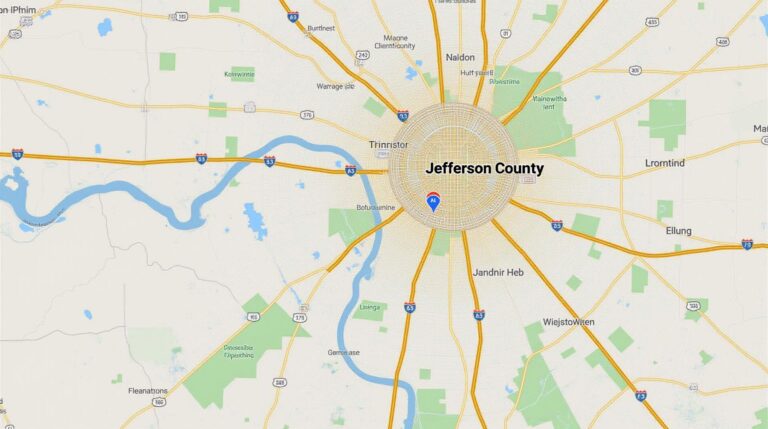
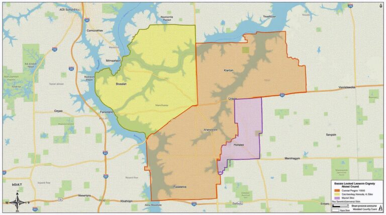
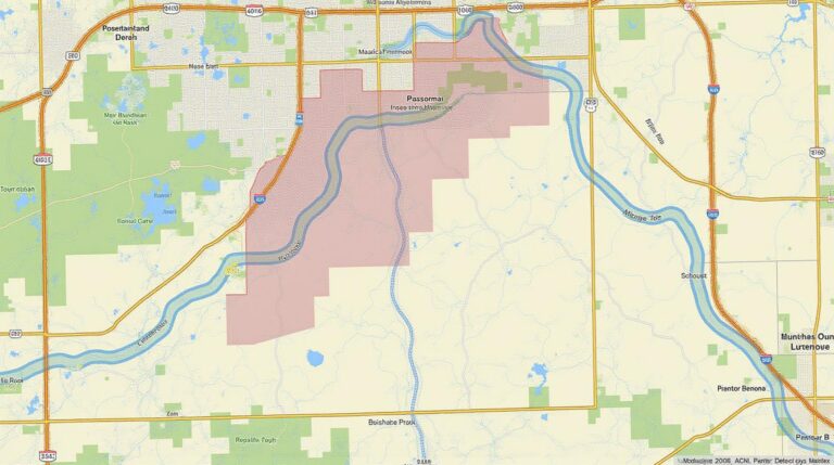
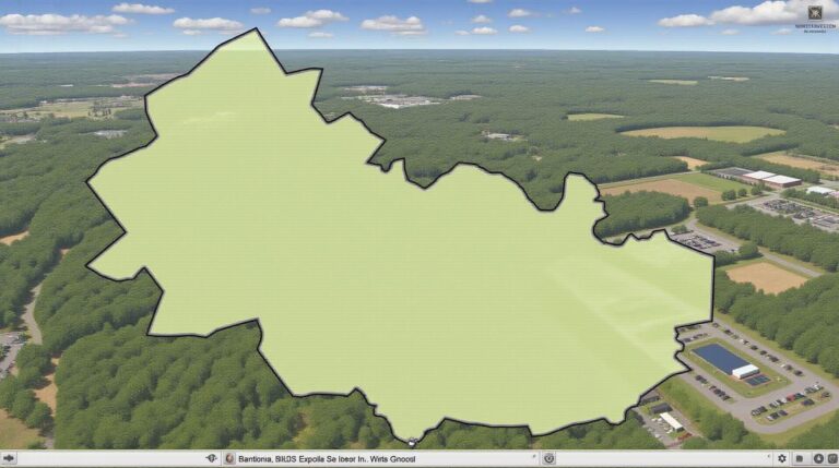
Jennings County, Indiana GIS: Local Insights
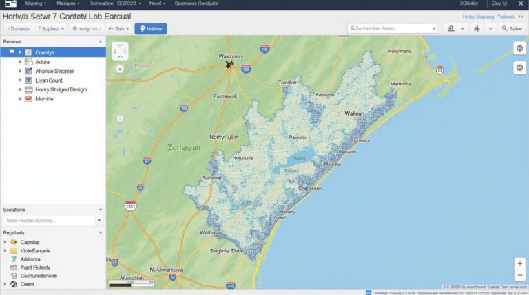
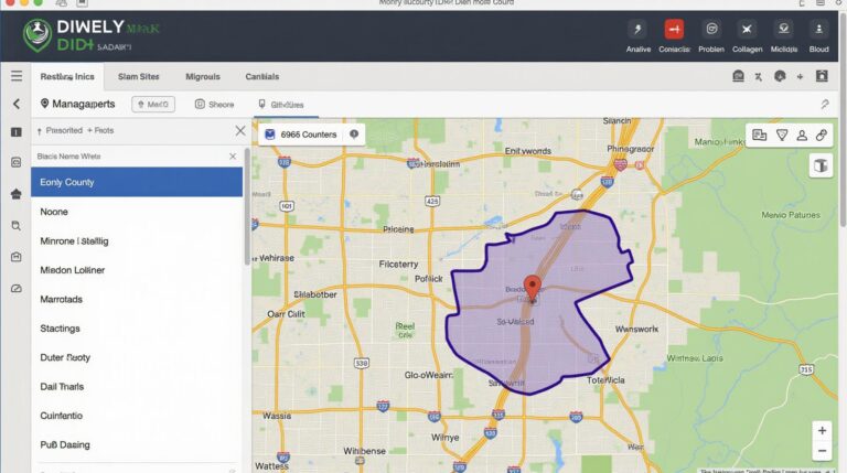
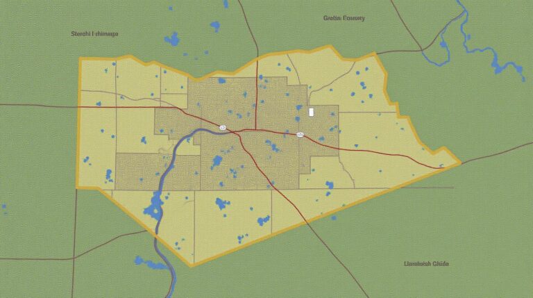
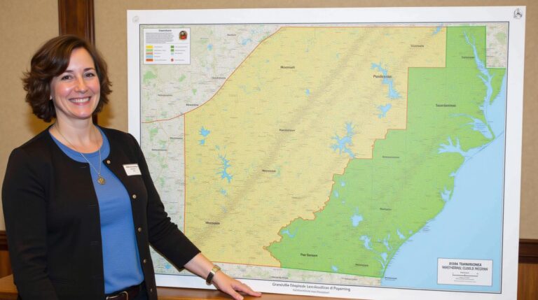
## Jennings County, Indiana GIS: Local Insights Understanding our surroundings is crucial for effective decision-making at all levels. This is exactly where Geographic Information Systems (GIS) come in. By utilizing geographic data, we can effectively visualize, analyze, and interpret information that enhances our understanding of the environment and its impact on us. This is especially…