Lancaster County GIS: Your Mapping Companion
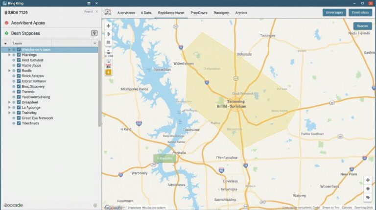
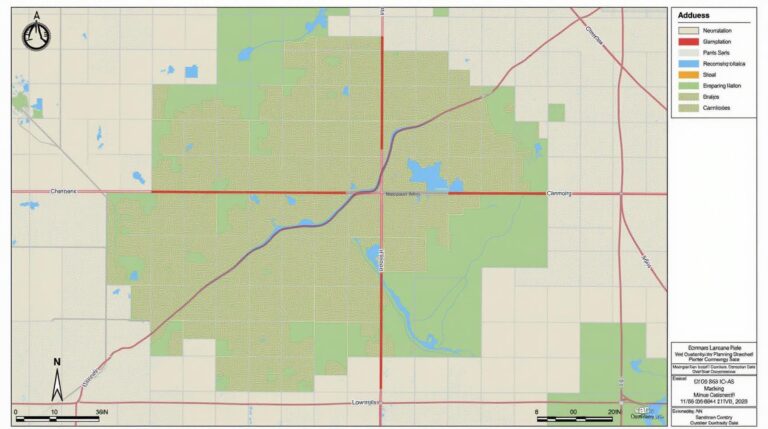
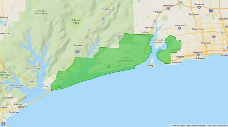
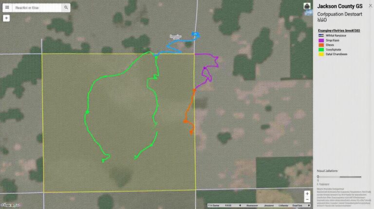
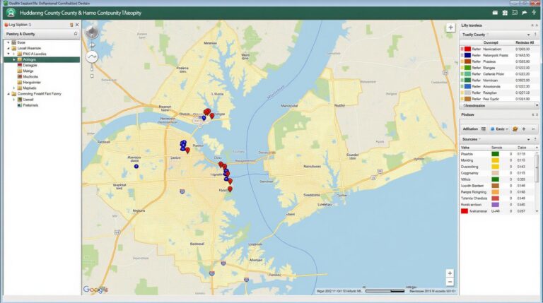
Lancaster County GIS: Your Mapping Companion Looking to understand the intricate web of our world? Need to pinpoint where infrastructure touches farms, analyze trends for planning, or investigate the environmental conditions across Lancaster County? That’s where Lancaster County GIS comes in. A powerful tool offering valuable insights into your land, resources, and environment, it’s your…