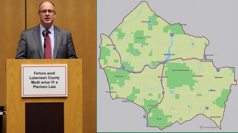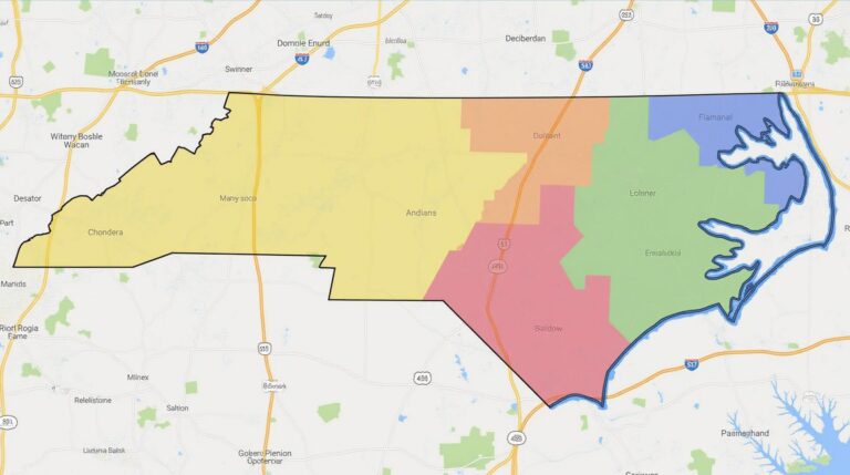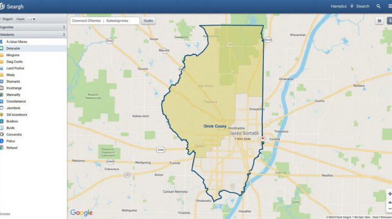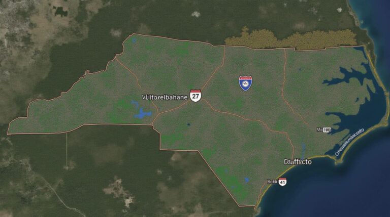
Nash County GIS: Tools for Exploration
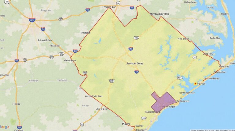
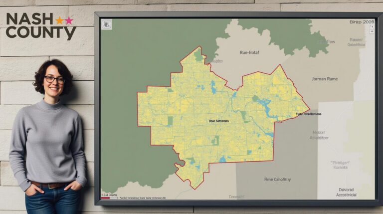
Nash County GIS: Tools for Exploration Nash County, a vibrant North Carolina county brimming with history and modern energy, holds a wealth of valuable information beneath its surface. Geographic Information System (GIS) data, the key to unlocking this potential, is readily available to anyone seeking to understand and navigate this dynamic area. This post delves…