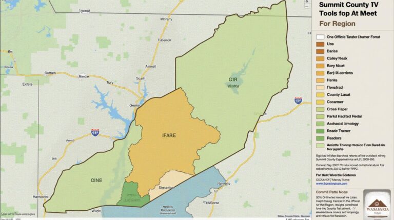
Summit County GIS: Tools for the Region
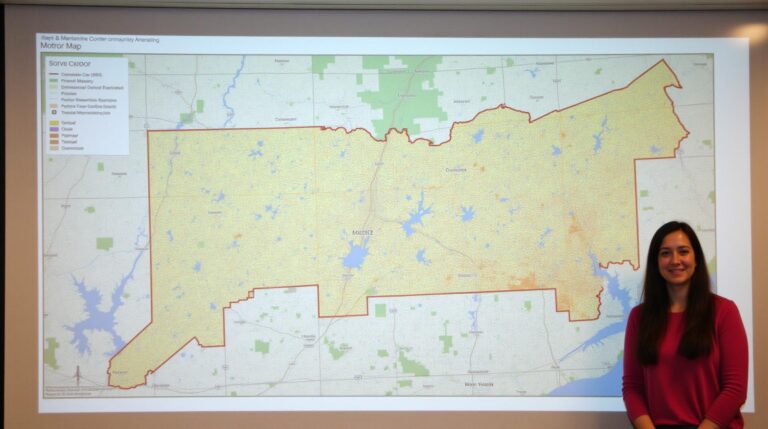
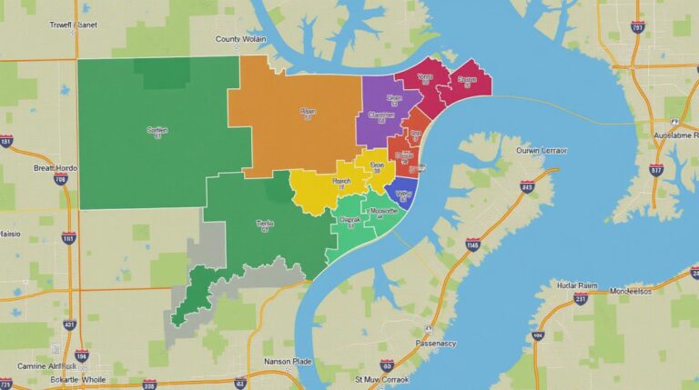
Summit County GIS: Tools for the Region Navigating the unique landscape of Summit County has always been a challenge for residents, businesses, and researchers alike. But thanks to the powerful tools of Geographic Information Systems (GIS), accessing this information has become easier than ever. This post explores the vast resources available for Summit County GIS…