Riverside County GIS: Urban Planning Insights
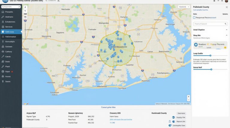
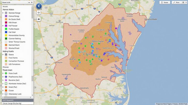
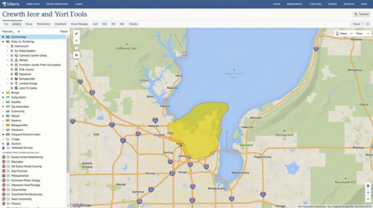
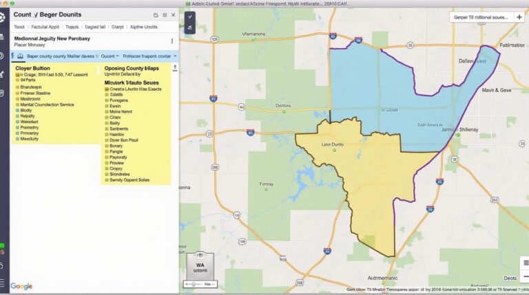
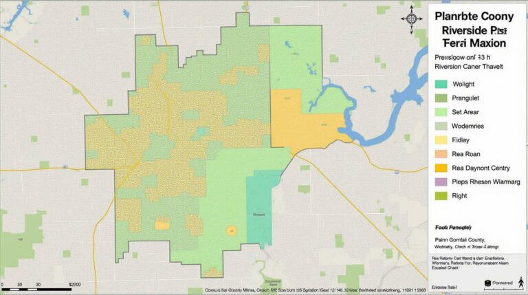
Riverside County GIS: Urban Planning Insights Riverside County GIS: Urban Planning Insights Understanding the landscape of Riverside County for urban planning requires access to detailed and accurate topographic, demographic, and socioeconomic data. The Riverside County GIS maps resource is invaluable in illuminating key aspects like land use changes, population growth, and infrastructure distribution; empowering informed…