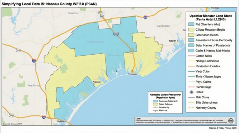
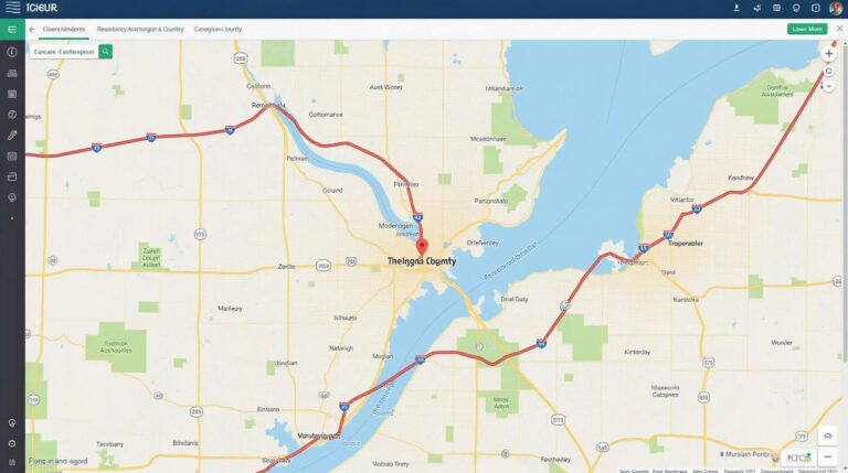
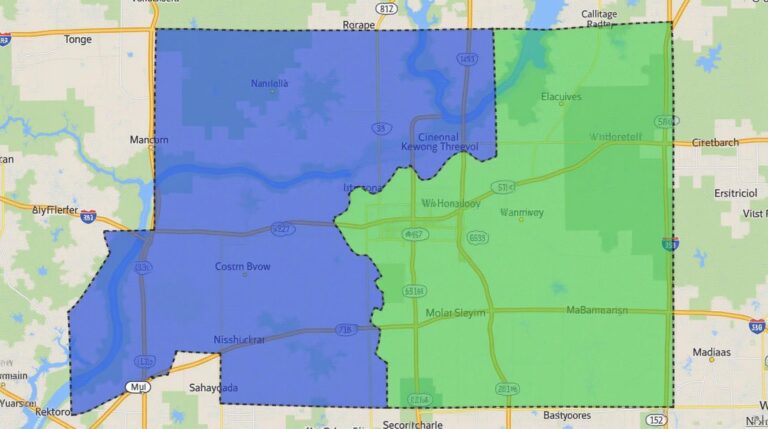
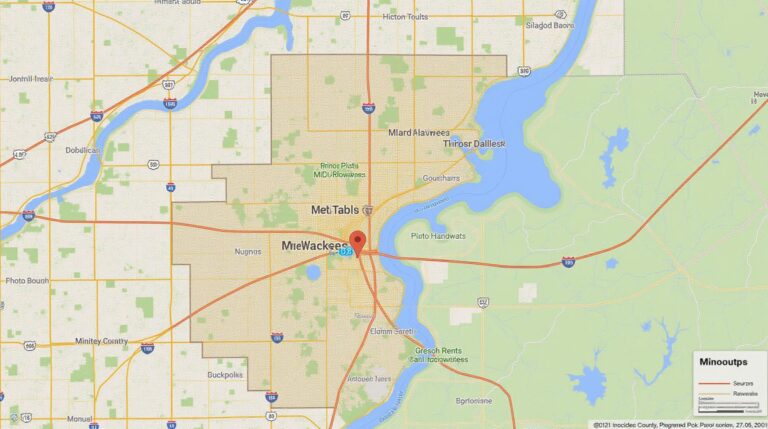
New York County GIS: Urban Planning Insights
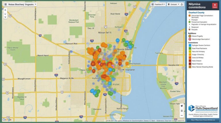
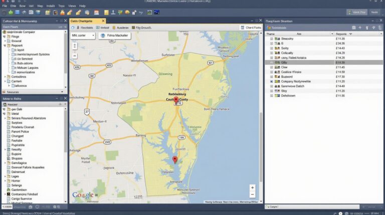
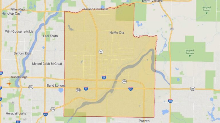
New York County GIS: Urban Planning Insights New York County GIS: Urban Planning Insights New York County, a sprawling metropolis teeming with diverse neighborhoods and critical infrastructure, is increasingly relying on Geographic Information Systems (GIS) for insightful urban planning solutions. This comprehensive resource sheds light on the key features, benefits, and applications of GIS data…