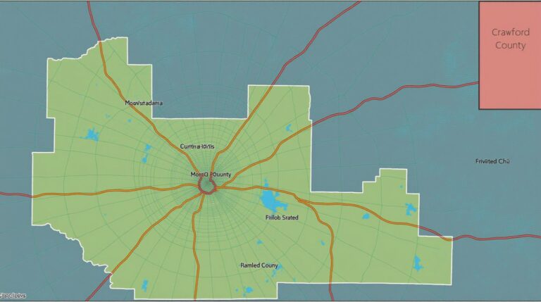
Fairfax County GIS: Urban Planning Insights
Fairfax County GIS: Urban Planning Insights Fairfax County’s Geographic Information System (GIS) offers a wealth of valuable data and resources, playing a critical role in urban planning. With access to a comprehensive dataset encompassing land use, demographics, infrastructure, and more, urban planners, developers, and researchers can gain critical insights to informed decisions. In this post,…

