Conserving Biodiversity with GIS Tools
In today’s fast-changing world, saving our planet’s biodiversity is key. The threats to our natural habitats and ecosystems are growing. Innovative technologies, like Geographic Information Systems (GIS), are crucial for conservation.
GIS gives scientists and conservationists powerful tools. It helps them monitor and protect endangered species and their homes. By combining data from satellites, remote sensing, and ground surveys, GIS helps us understand our planet’s complex life systems.
With GIS, we can map and study species distribution. We can find important biodiversity areas and see how human actions affect nature. This info is key for guiding conservation, making policy, and working together to protect our ecosystems.
In this article, we’ll look at GIS’s big role in saving biodiversity. We’ll cover the basics of biodiversity and how GIS helps in research and mapping. We’ll see how GIS is changing the future of protecting our environment.
Key Takeaways
- GIS provides a comprehensive suite of tools to monitor, analyze, and protect endangered species and their habitats.
- Integrating spatial data from various sources, GIS empowers scientists to gain a deeper understanding of the complex web of life.
- GIS enables the mapping and analysis of species distribution, identification of critical biodiversity hotspots, and assessment of human impact on the natural environment.
- The information gathered through GIS is invaluable in guiding conservation efforts, informing policy decisions, and fostering collaborative action.
- GIS is reshaping the future of environmental protection by revolutionizing the way we approach biodiversity conservation.
Introduction to Biodiversity Conservation
Biodiversity is the wide range of life on our planet. It includes the genetic diversity within species, the diversity of species in an ecosystem, and the diversity of ecosystems themselves. It’s key to keeping our natural world in balance.
Understanding Biodiversity
Biodiversity is complex, covering everything from tiny bacteria to huge trees. It’s about the genetic variety in each species, the variety of species in an ecosystem, and the variety of ecosystems worldwide. This biodiversity is essential for life on Earth, supporting human well-being and the health of our planet.
Importance of Conservation Efforts
- Maintaining ecosystem diversity ensures we have essential resources like food, clean air, and water.
- Preserving genetic diversity within species helps them adapt to environmental changes, making them more resilient.
- Protecting biodiversity keeps natural systems in balance, ensuring our planet’s health and resilience.
Despite its importance, biodiversity faces threats from human activities like habitat destruction, pollution, climate change, and overexploitation. We need urgent conservation efforts to protect the natural resources and ecosystems that support life on Earth.
“Biodiversity is the foundation of human life on Earth, providing the air we breathe, the food we eat, the water we drink, and the resources we depend on for our health, happiness, and prosperity.”
The Role of GIS in Environmental Science
Geographic Information System (GIS) technology is key in environmental science. It helps researchers understand and tackle big ecological problems. This tool lets them see and analyze many types of environmental data, like land use and climate patterns.
Overview of GIS Technology
GIS technology is all about handling geographic data. It combines data from satellites, field work, and sensors. This way, it makes detailed maps and models that show the natural world’s complex patterns.
This method is vital for grasping ecological systems. It helps in making good plans for saving nature.
Applications of GIS in Ecology
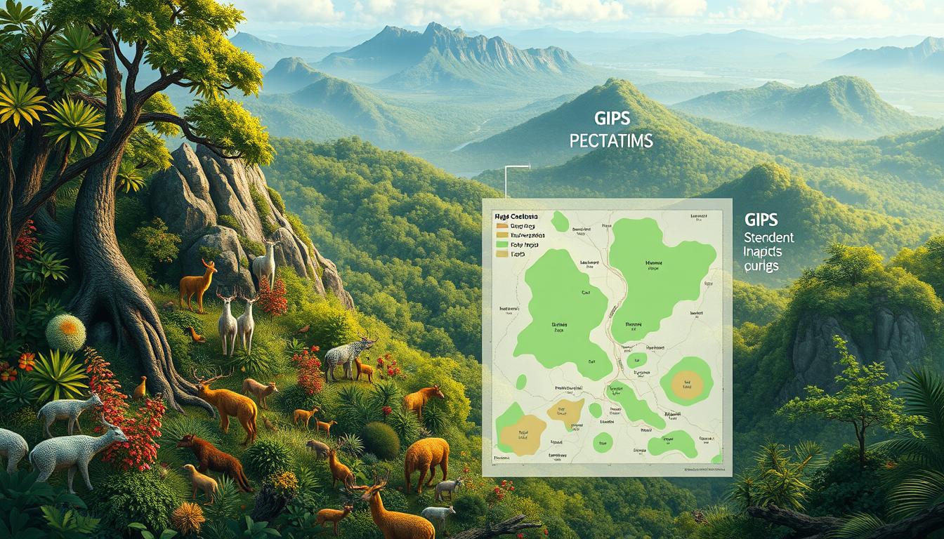
- Habitat Mapping: GIS tools help find and mark out key habitats for endangered species. This guides where to focus conservation efforts and land-use planning.
- Species Distribution Modeling: GIS models use environmental data and species records. They predict where plants and animals might live, helping in saving biodiversity.
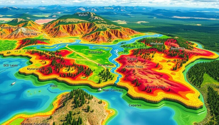
- Landscape Analysis: GIS lets us study big landscape patterns and changes. It shows how land use affects ecosystems.
- Ecological Monitoring: GIS tracking systems watch environmental changes over time. They help spot and act on threats to nature.
GIS technology has changed how we work in environmental science. It’s key for ecological applications, spatial analysis, and biodiversity conservation. With GIS, experts can make better choices, use resources wisely, and protect our natural world.
Mapping Biodiversity Hotspots
Biodiversity hotspots are areas with many unique species found nowhere else. They are also at risk of being destroyed. Protecting these places is key to saving many threatened plants and animals.
Identifying Key Areas for Conservation
Geospatial technologies like GIS and remote sensing help find and map these hotspots. They use satellite imagery and data analysis to locate these areas. This helps scientists create plans to save them.
- Satellite data shows land cover, vegetation changes, and habitat fragmentation. These are important for biodiversity.
- GIS tools help combine different data sets. This includes species distribution, climate, and land use. It helps find the most conservation priorities.
- This information helps policymakers and conservation groups make better decisions. They know where to focus their efforts for the best results.
Utilizing Remote Sensing Data
Remote sensing technology has changed how we study biodiversity hotspots. It uses satellite and aerial images to track environmental changes. This helps spot threats to these delicate ecosystems.
| Remote Sensing Data Source | Application in Biodiversity Hotspot Mapping |
|---|---|
| Multispectral Satellite Imagery | Mapping vegetation cover, land-use patterns, and habitat fragmentation |
| Hyperspectral Imaging | Identifying and monitoring specific plant and animal species |
| LiDAR Data | Generating high-resolution 3D models of vegetation structure and terrain |
By combining remote sensing data with other geographic and ecological information, scientists can fully understand biodiversity hotspots. They can then create effective plans to protect them for the long term.
Habitat Mapping and Analysis
Understanding habitats is key to saving species. GIS tools are powerful for this. They help us map and analyze habitats, guiding us to protect and restore them.
Tools for Habitat Characterization
GIS has many tools for studying habitats. It uses satellite images, aerial photos, and field surveys. This way, we can map out where different plants and animals live.
- Remote sensing data: Satellites and planes give us info on habitats.
- Spatial modeling: GIS models show where species might live, based on climate and more.
- GIS tools: Software like ArcGIS and Google Earth Engine help us map habitats well.
Assessing Land Use Changes
GIS is great for tracking land use changes. It shows how habitats change over time. This is crucial in areas where humans are changing the environment.
GIS tools help us understand land use changes. They tell us how fast and why these changes happen. This info helps us make better conservation plans and push for policy changes.
Species Distribution Modeling with GIS
In the world of saving biodiversity, species distribution models (SDMs) are key. They help us understand and guess where different species live. These models use Geographic Information Systems (GIS) to show where an area is good for a species. They look at many environmental factors.
Techniques for Modeling Species Habitats
Scientists use many ways to model where species live with GIS. They check things like climate, plants, land shape, and how people use the land. They use advanced math, like logistic regression and maximum entropy modeling, to find out what matters most for a species.
- Presence-only modeling, like MaxEnt, uses where a species has been seen to guess where it might live.
- Presence-absence models use both where a species is found and where it’s not.
- Ensemble modeling mixes different SDM methods to make predictions more accurate.
Integrating Climate Data into Models
Adding climate data is a big part of species distribution modeling. As the climate changes, knowing how it affects species homes is key for saving them. GIS makes it easy to mix climate data, like temperature and rain, into the models.
| Environmental Factor | Importance in SDMs |
|---|---|
| Temperature | It sets what a species can handle and where it can live |
| Precipitation | It affects water and plant growth |
| Bioclimatic Variables | They show how climate and species needs are connected |
By adding climate data integration to species models, scientists can see how climate change might affect species homes. This helps them plan better for saving species.
“Integrating climate data into species distribution models allows us to predict how species may respond to future environmental changes, which is crucial for effective biodiversity conservation.”
The Importance of Data Collection
Good biodiversity conservation needs lots of accurate data. In GIS analysis, the quality and amount of data are key. They help make decisions that protect nature.
Types of Data Required for GIS Analysis
To do great GIS analysis for nature, you need many types of data. This includes spatial data like satellite images and maps. You also need ecological data on where species live, their habitats, and the environment.
Putting all these data together helps make detailed maps. These maps guide how to protect nature.
Citizen Science in Biodiversity Research
Citizen science is a big help in getting biodiversity data. It lets people help by watching and recording local plants and animals. It not only gets more data but also gets people involved and teaches them why nature matters.
People use apps and websites to share what they see. This data helps scientists understand nature better. It makes the data richer and more detailed.
| Data Type | Significance for GIS Analysis |
|---|---|
| Spatial Data | Provides the geographic context for mapping and analyzing biodiversity patterns |
| Ecological Data | Enables the characterization of habitats, species distributions, and environmental factors |
| Crowdsourced Data | Expands the reach and granularity of data collection through citizen science initiatives |
Using biodiversity data collection, GIS analysis, and citizen science helps protect nature. It gives a deep understanding of ecosystems. This leads to better ways to protect them.
Case Studies of GIS in Biodiversity Projects
GIS (Geographic Information Systems) has shown its power in saving our planet’s biodiversity. Many GIS case studies show how this tech helps in conservation success stories. It plays a key role in protecting our planet’s biodiversity projects.
Successful Conservation Initiatives
In Tanzania’s Kilimanjaro region, GIS helped map habitats for endangered African elephants. It used remote sensing data to find key corridors and routes. This led to better conservation efforts and less conflict between humans and elephants.
In Australia, GIS helped save the Tasmanian Devil from a deadly disease. It analyzed disease spread and habitat to find safe places for the devils. This led to successful relocation programs.
Lessons Learned from GIS Applications
- Accurate data collection and integration are crucial for effective GIS-based conservation planning.
- Collaboration between scientists, policymakers, and local communities is essential for the successful implementation of GIS-driven biodiversity projects.
- Continuous monitoring and adaptive management strategies are necessary to address the dynamic nature of ecosystems and respond to emerging threats.
| Project | Location | GIS Application | Conservation Outcome |
|---|---|---|---|
| African Elephant Habitat Mapping | Kilimanjaro, Tanzania | Identification of critical corridors and migratory routes | Reduced human-wildlife conflict, improved habitat conservation |
| Tasmanian Devil Recovery | Australia | Spatial analysis of disease prevalence and habitat suitability | Establishment of disease-free sanctuaries, effective relocation programs |
These GIS case studies show how geospatial technologies can change the game in biodiversity projects. They drive conservation success stories worldwide.
Challenges in Biodiversity Conservation Using GIS
Environmental managers and conservationists use GIS more and more. But, they face many challenges. These include data accuracy and balancing human needs with nature.
Data Accuracy and Resolution Issues
Good data is key for effective conservation planning with GIS. But, getting high-quality data is hard, especially in remote areas. Problems like old satellite images and different data collection methods can lead to errors.
These errors can cause bad decisions. It’s important to have accurate data for good planning.
Balancing Human and Environmental Needs
GIS also makes it hard to balance human needs and nature. GIS challenges come when nature protection clashes with human activities. Finding the right balance is tough.
It needs careful planning and accurate data. This helps make decisions that protect both people and the environment.
Overcoming these challenges is vital for successful conservation. Improving data and working with communities are important steps. They help GIS play a big role in protecting our environment.
Future Trends in GIS and Conservation
GIS is getting better, leading to better ways to protect nature. New GIS advancements and conservation technology are changing how we save species. These changes will make a big difference in how we protect our planet.
Advances in GIS Technology
New GIS tools are helping conservationists a lot. High-resolution satellite images, drones, and cloud data processing give us detailed info. This info helps us map and watch over biodiversity hotspots better.
Potential for Improved Conservation Outcomes
- Predictive modeling: New models use GIS data and AI to predict how species will be affected by climate change and other factors. This helps us plan ahead.
- Real-time monitoring: With sensors and mobile apps, we can watch ecosystems closely. This lets us act fast when problems arise.
- Collaborative decision-making: Web GIS helps share data and work together. This brings experts together to make better decisions for biodiversity protection.
As GIS advancements and conservation technology keep improving, we’ll see even better ways to protect nature. Using geospatial data and analytics, we can make smarter choices. This will lead to more effective and lasting biodiversity protection efforts.
Conclusion: The Future of Biodiversity Conservation with GIS
Geographic Information Systems (GIS) are key in saving our planet’s biodiversity. They help us map important areas and study how species live. GIS also lets us see how land use changes over time.
Summarizing Key Takeaways
GIS helps find areas that need protection and uses data from space to track changes. It also helps predict how species might move due to climate change. Plus, it’s great for collecting data and working with volunteers to study nature.
The Path Forward for Conservation Practitioners
Looking ahead, GIS will keep getting better, helping us protect nature more effectively. People working in conservation need to keep up with GIS updates. This way, we can meet our goals of saving ecosystems and all the life they support.

