Cook County GIS: Urban Planning Insights
Cook County GIS: Urban Planning Insights
Welcome to the world of geospatial insights. In Cook County, Illinois, access to comprehensive Geographic Information Systems (GIS) data offers invaluable tools for urban planning. This blog post explores key features, benefits, resources, and practical applications of Cook County GIS, empowering you to make informed decisions about the future of the region.
Understanding Cook County GIS

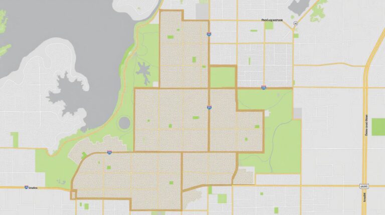
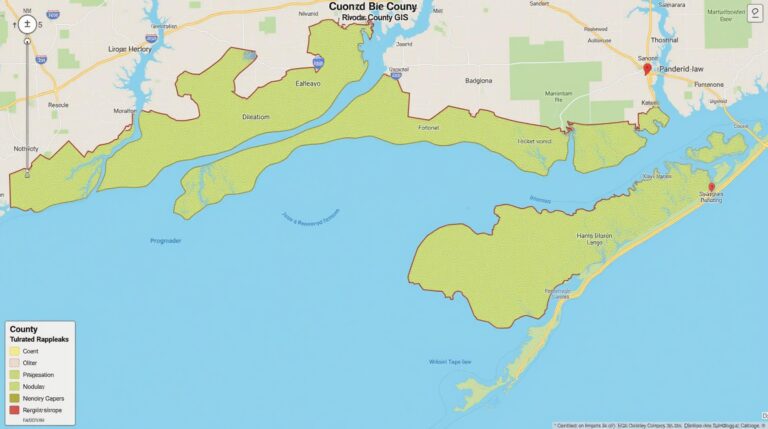
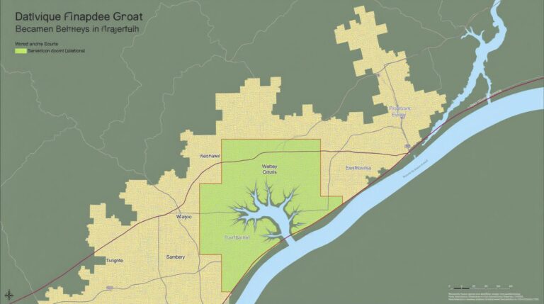
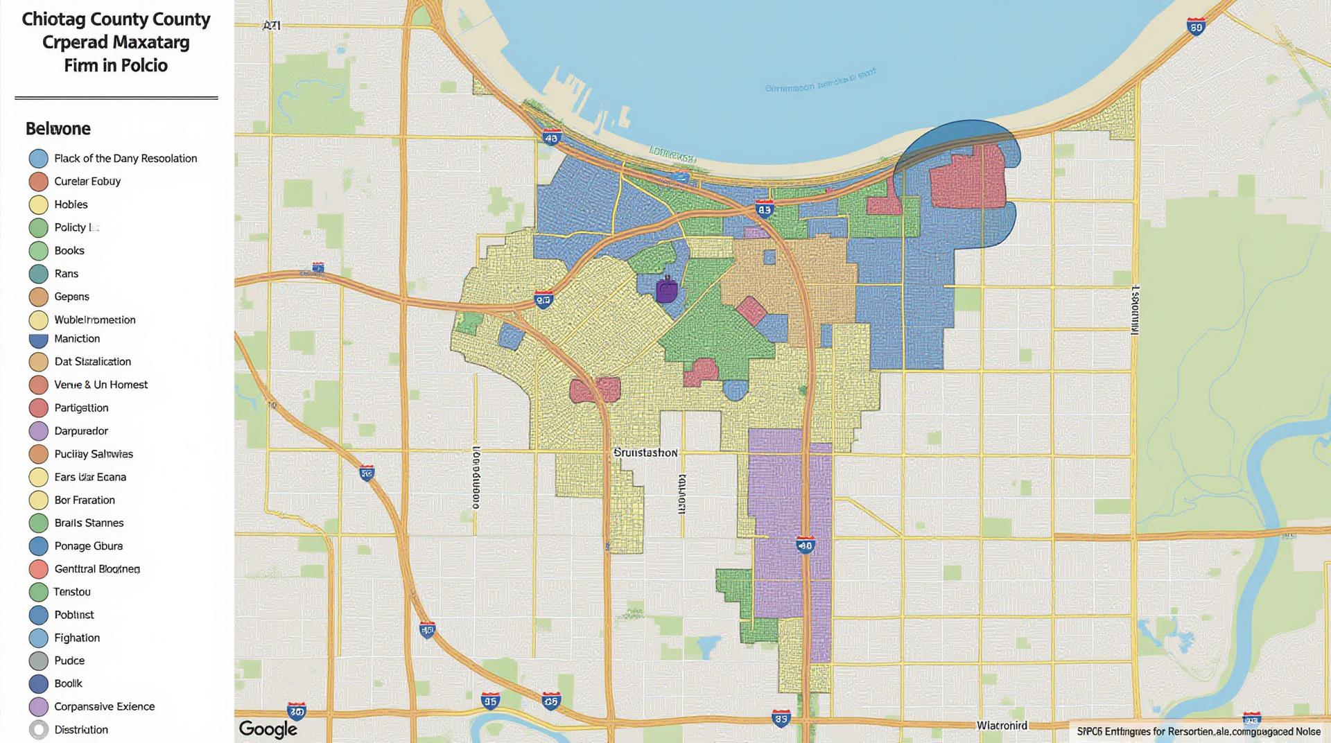
Cook County GIS provides a platform for understanding the intricate fabric of our community. Layers containing data like land parcels, demographic zones, infrastructure networks, property records, zoning boundaries, and environmental data offer a dynamic view of the county’s urban landscape.
Benefits of Utilizing Cook County GIS
Harnessing the power of GIS in Cook County offers substantial benefits for residents, businesses, and researchers:
- Enhanced Planning Processes & Reduced Costs: GIS aids in creating efficient and cost-effective urban planning strategies. Analyze demographics, transportation needs, and land use patterns.
- Informed Decision Making: Analyze the impacts of proposed projects on the environment, infrastructure, and surrounding areas before implementation.
- Improved Accessibility: Maps provide easy navigation and citizen engagement tools. Identify areas of need, promote sustainability, and build a sense of community.
- Economic Development: Identify property values, commercial zoning, and targeted areas for infrastructure development.
- Infrastructure Development: Enhance planning for road construction, public utilities, and emergency services. Repository of all relevant County data.
Key Data Sources and Resources
Cook County officially provides a wealth of resources for accessing GIS data:
* **Cook County GIS Website:** https://www.cookcountygis.us/
* Discover a comprehensive library of online maps, datasets, stories, tools, and publications.
* User-friendly interface allows you to browse datasets, explore specific features, and download information for research or project development.
* **Cook County Assessor’s Office:** https://assessor.cookcountyil.gov/
* Explore property records, tax assessments, zoning details, and development activity projections. These features are crucial for government programs, development consulting, and property management.
* **Cook County Department of Environmental Health:** https://epd.cookcountyil.gov/
* Access maps related to environmental regulations, waste management facilities, and health monitoring data, which are particularly useful for community health projects and safeguarding resources.
* **I-GIS Study Area:** https://www.icg.illinois.gov/i-gis/
* An online presentation of the City of Chicago I-GIS Study Area. Provides access to research data, infrastructure development tools, and the intersection of urban planning and transportation within Cook County.
* **Explore Data Mapping Tools:** Utilize close-to-home planning tools like ArcGIS or QGIS to analyze Cook County specific data. Explore cost-effective mapping and analytics tools designed to enhance the use of GIS.
Engaging with Cook County GIS: Practical Applications
To leverage Cook County GIS effectively, consider these practical examples:
- Identifying infrastructure challenges:** Analyze data to identify areas with high traffic congestion, aging roads, or inadequate storm drainage. Take these factors into consideration during future development.
- Developing sustainable strategies:** Lay out areas for strategically planting trees to mitigate local pollution, study micro and seasonal variations in air quality using GIS, and analyze transportation needs for alternative modes of transportation.
- Promoting community engagement:** Create interactive maps to share information about neighborhood revitalization initiatives. Allow residents to proactively improve their communities.
- Supporting economic development:** Use data to locate areas that attract or indicate low economic productivity and potential development strategies for sustained investment and growth.
Conclusion
Cook County GIS is a powerful tool with immense value for residents, businesses, and researchers. By utilizing this interconnected network of resources, stakeholders can better understand each other’s needs, prioritize projects for shared benefit, and build a more prosperous community for all. Begin exploring the wealth of information available within Cook County GIS and unlock new possibilities within the realm of urban planning.
FAQs
We strive to provide clear and concise information about our GIS data for Cook County usage. If you have any additional questions or need more tailored information, follow the link below to contact us for assistance.
- What types of GIS data are available on Cook-County-GIS?
Cook-County-GIS provides a variety of geospatial data, including:
* Land cover and change maps.
* Demographic and socioeconomic data.
* Street and boundary data.
* Urban planning, stormwater management surveys, and permit information. - What file formats are available for download?
- Shapefiles: Most common raster and vector formats for GIS analysis.
- Tif: For large, high-resolution raster data.
- How can I access the data?
- Server Database: A publicly accessible online PostgreSQL database allows you to explore data in a web browser, view maps, and download various data formats.
- Local Data Download: Anyone can download data for local use or shares access with other individuals using the appropriate formats.
Accessible and actionable home-grown data is vital for organizations such as Cook County to effectively manage assets and services for the county. GIS data provides a comprehensive, centralized view of the county’s physical and human-made environments, enabling strategic decision-making across all departments. See a glossary page for key terms
**Actionable Insights & Policy Innovation**
Cook County GIS is vital for:
- **Improving Planning:** Analyzing transportation demand, evaluating land use changes, and facilitating development regulations.
- **Leveraging Services:** Showing the effectiveness of various environmental protection programs and optimizing infrastructure operations.
- **Tackling Challenges:** Addressing crime hotspot analysis, mental health resource allocation, and finding affordable housing solutions.
- **Enhancing Citizen Engagement:** Providing interactive maps and data exploring the health of the community, sustainable practices and environmental regulations
Check similar topics: