Crime Pattern Analysis with GIS Tools
In today’s world, Geographic Information Systems (GIS) have changed how we look at crime. GIS tools help law enforcement and researchers find insights they couldn’t before. This article shows how GIS is key in making our communities safer.
GIS has changed crime mapping and analysis. It lets law enforcement see and understand crime better. With GIS, they can know where, when, and how crimes happen. This helps them make better decisions and use resources wisely.
With GIS, police can spot crime hotspots and understand patterns. They can also see new trends in crime. This helps them plan better and work with the community to prevent crime.
GIS has changed how police fight crime. It makes their work more data-driven and based on evidence. With GIS, police can make smarter choices and work better with the community. This leads to safer neighborhoods.
Key Takeaways
- GIS technology has transformed the landscape of crime mapping and analysis, enabling law enforcement to visualize, interpret, and respond to criminal activities with greater precision.
- GIS-based crime analysis provides a comprehensive understanding of the where, when, and how of criminal incidents, informing strategic decision-making and resource allocation.
- The integration of GIS in crime analysis has revolutionized the way law enforcement professionals approach public safety, leading to a more data-driven and evidence-based approach to crime reduction.
- GIS empowers law enforcement agencies to identify hotspots, analyze spatial and temporal patterns, and uncover emerging trends in criminal behavior, ultimately contributing to safer communities.
- The use of GIS in crime analysis has become an indispensable asset, enabling law enforcement to collaborate more effectively with community stakeholders in proactive crime prevention efforts.
Introduction to GIS in Crime Pattern Analysis
Geographical Information Systems (GIS) have changed how law enforcement looks at crime patterns. GIS is a powerful tool for spatial analysis. It helps find trends, hotspots, and connections in crime data. With GIS tools, agencies can get insights to make better decisions and prevent crime.
Definition of GIS
GIS is a computer system that handles geographic data. It combines spatial data like maps and attribute data like demographics and crime stats. This gives a full view of a location or area.
Importance of GIS in Crime Analysis
The use of GIS tools and spatial analysis has changed crime mapping and analysis. GIS helps find patterns and trends in crime data. This way, agencies can make smarter decisions, use resources better, and create effective crime prevention plans.
- Spatial analysis: GIS helps find hotspots and patterns of crime, giving a clear view of where crime happens.
- Temporal analysis: GIS can show when crimes happen, like peak times or days.
- Resource allocation: GIS helps agencies use resources like people and patrols better to tackle crime issues.
“GIS has become an indispensable tool for law enforcement agencies, enabling them to understand and respond to crime patterns in a more strategic and data-driven manner.”
By using GIS tools and spatial analysis, law enforcement can improve crime mapping. They can create more focused and effective crime prevention plans. This helps keep communities safe and improves overall well-being.
Historical Context of Crime Data Analysis
The way we map crime has changed a lot over time. This change is thanks to better Geographical Information Systems (GIS) technology. Before, we used paper maps and did everything by hand. Now, digital GIS platforms have changed how we study crime, making it easier to understand where and when crimes happen.
Evolution of Crime Mapping Techniques
Crime mapping used to be very hard work. People would put markers on maps to show where crimes occurred. This method was good for small studies but couldn’t find big patterns. The 1970s and 1980s brought computer-based systems, making it easier to work with crime data and create digital maps.
Key Milestones in GIS Development
- In the 1990s, commercial GIS software like ArcGIS came out. It gave police and researchers better tools to study crime.
- The early 2000s saw open-source GIS like QGIS become popular. This made it easier for more people to use crime mapping tools.
- Open-source data like OpenStreetMap became available. This added more layers to crime analysis, making it richer.
These changes in crime mapping history and GIS advancements have changed how we fight crime. They give us tools to understand and prevent crime better, helping us make smarter decisions.
“The integration of GIS technology has revolutionized the field of crime analysis, enabling law enforcement agencies to uncover patterns, predict trends, and allocate resources more effectively.”
| Milestone | Year | Impact |
|---|---|---|
| Manual pushpin mapping | 1970s | Limited in identifying complex patterns |
| Emergence of computer-based mapping | 1980s | Digitization of crime data and electronic mapping |
| Adoption of commercial GIS software | 1990s | Powerful tools for spatial analysis and visualization |
| Rise of open-source GIS platforms | Early 2000s | Expanded access to crime mapping capabilities |
| Integration of open-source spatial data | Mid-2000s | Enriched crime analysis toolkit with contextual data |
Types of Crime Patterns Analyzed with GIS
Geographic Information Systems (GIS) are key in understanding crime patterns. They use data on where and when crimes happen. This helps police and communities fight crime better.
Spatial Patterns
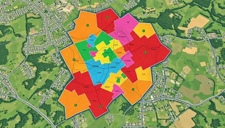
GIS shows crime hotspots – places with lots of crime. It helps find out why crimes happen in certain areas. Things like money, land use, and roads play a big role.
Temporal Patterns
GIS also looks at when crimes happen. It finds patterns in crime timing and frequency. This helps police plan better and focus on the right times and places.
Hotspot Analysis
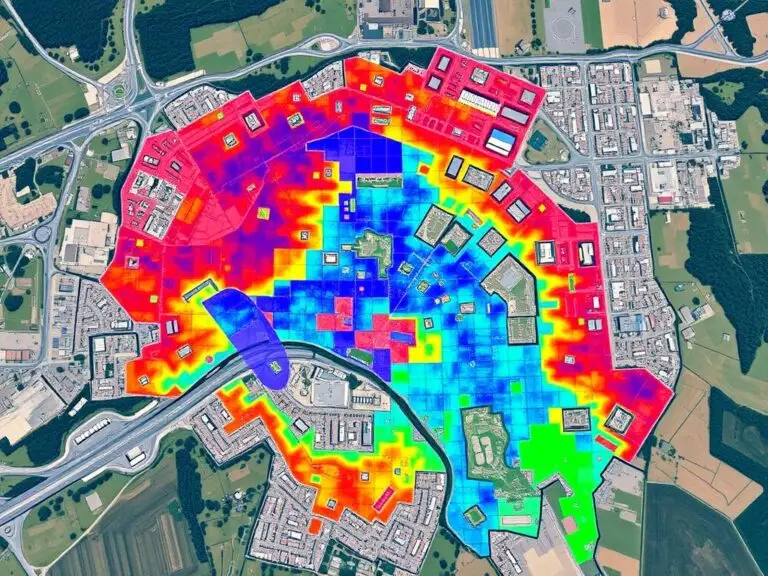
- GIS helps find hotspots where crime is high. This lets police and communities know where to focus. It helps in planning patrols and crime prevention.
- It also finds out why crime happens in some places. Things like empty buildings, poor lighting, or jobs can cause crime. Fixing these issues helps fight crime at its source.
GIS gives valuable insights to police and city planners. It helps them understand crime hotspots and timing. This leads to better ways to prevent and fight crime.
Common GIS Tools Used in Crime Analysis
Geographic Information Systems (GIS) are key in crime analysis. They help law enforcement and researchers understand crime patterns. Tools like ArcGIS, QGIS, and OpenStreetMap are widely used.
ArcGIS
ArcGIS, from Esri, is a top choice for crime analysis. It offers tools for managing and analyzing data. Users can make interactive maps and spot crime hotspots.
QGIS
QGIS is an open-source option. It’s known for being easy to use and flexible. It has tools for creating detailed maps and analyzing data, making it a good choice for those on a budget.
OpenStreetMap
OpenStreetMap is a community-driven mapping platform. It’s great for understanding the environment around crimes. It’s free and helps users see how crimes relate to the area.
| GIS Tool | Key Features | Strengths | Limitations |
|---|---|---|---|
| ArcGIS |
|
|
|
| QGIS |
|
|
|
| OpenStreetMap |
|
|
|
“GIS tools have revolutionized the way we analyze and understand crime patterns, enabling us to make more informed decisions and improve public safety.”
In conclusion, ArcGIS, QGIS, and OpenStreetMap are essential for crime analysis. They offer unique strengths and cater to different needs and budgets. These tools help professionals understand crime patterns, identify hotspots, and develop effective strategies.
Data Sources for Crime Analysis
Crime analysis needs good data sources. Law enforcement, public groups, and community efforts help gather and share this data. They use GIS tools to spot crime patterns and trends.
Law Enforcement Agencies
Law enforcement keeps detailed records of crimes and arrests. These records help analysts understand where and when crimes happen. They can find hotspots and see how crime changes over time.
Publicly Available Data Sets
There are also public data sets for crime data collection and analysis. These include demographic and socioeconomic data. They help find patterns and relationships that affect public safety.
Community Reporting Systems
Now, people can help with public safety information through online and mobile apps. They can report incidents and share tips. This data helps law enforcement and adds to official records.
| Data Source | Key Advantages | Potential Challenges |
|---|---|---|
| Law Enforcement Agencies |
|
|
| Publicly Available Data Sets |
|
|
| Community Reporting Systems |
|
|
Using many data sources is key for good crime data collection and analysis with GIS tools. By mixing these data, analysts can find important insights. These insights help with public safety information and making informed decisions.
Techniques for Analyzing Crime Data with GIS
Geographic Information Systems (GIS) are key in crime data analysis. They help find important insights. Law enforcement and urban planners use GIS to understand crime patterns better.
Descriptive Analysis
Descriptive analysis is the first step in understanding crime data. GIS tools like thematic mapping and hotspot analysis show where crimes happen. This helps find high-risk areas and plan better crime prevention.
Predictive Modeling
Predictive modeling goes further than just describing crime. It uses past crime data and other factors to forecast future crimes. This way, police can plan ahead and use resources wisely.
Spatial Autocorrelation
Spatial autocorrelation looks at how crimes are related in a certain area. GIS tools show if crimes are clustered or spread out. This helps find the reasons behind crime and plan better strategies.
Using crime data analysis and GIS techniques helps a lot. It lets law enforcement and urban planners understand crime better. This leads to better planning, more effective actions, and safer communities.
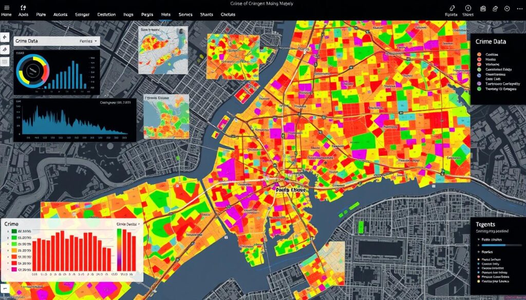
Applications of GIS in Crime Prevention
Geographic Information Systems (GIS) are key in fighting crime. They use spatial data to help police make safer communities. This way, they can stop crimes before they start.
Crime Forecasting
GIS helps predict where crimes might happen. It spots patterns and hotspots in criminal activity. This lets police act fast to stop crimes before they happen.
Resource Allocation
GIS also helps police use their resources better. It maps crime areas and response times. This way, police can focus on the most needed places.
Community Engagement
GIS helps police work with the community too. It shows crime data on maps, helping everyone work together. This makes communities safer and more involved in fighting crime.
GIS makes police work smarter and more effective. It’s a big help in keeping communities safe. As technology gets better, GIS will help even more in fighting crime.
Case Studies of GIS in Crime Pattern Analysis
Geographic Information Systems (GIS) have shown their worth in crime analysis through many real-world examples. These examples highlight how GIS tools have been successfully used. They also share lessons from times when challenges were faced.
Successful Implementations
In Los Angeles, the LAPD used GIS to improve their crime-fighting. They mapped and analyzed crime data. This helped them find hotspots and focus their efforts, cutting down violent crime rates.
The NYPD in New York City also made great strides with GIS. They combined data from 911 calls and arrest records. This helped them predict and tackle crime patterns more efficiently.
Lessons Learned from Failures
Not all GIS projects in crime analysis have been successful. Baltimore, for instance, struggled with GIS due to poor data quality and integration issues. This teaches us the value of good data management and teamwork for GIS success.
Chicago’s early GIS efforts were also faced with challenges. The lack of training and user adoption among police was a major hurdle. This shows the importance of training and user-friendly GIS tools for successful integration.
Looking at both successes and failures helps us understand what makes GIS effective in crime analysis. These insights can guide future GIS projects. They help law enforcement use GIS to its fullest potential.
Challenges in Using GIS for Crime Analysis
Law enforcement and researchers face many challenges when using Geographic Information Systems (GIS) for crime analysis. They must deal with data quality and privacy issues. Overcoming these obstacles is key to using GIS effectively.
Ensuring Data Integrity
One big challenge is the quality of the data used in GIS. Reports, demographic info, and geographic data need to be accurate. GIS challenges happen when data is missing, wrong, or mixed up. This can lead to bad analysis and decisions.
Safeguarding Sensitive Crime Data Privacy
Using GIS for crime analysis also raises big privacy concerns. It can show personal info about people and communities. Agencies and policymakers must find a way to use GIS without risking privacy, especially for the most vulnerable.
Overcoming Technical Limitations
GIS has grown a lot, but it still has limits. Problems like software issues, data mixing, and needing special skills can slow it down. These need constant work to improve, including training and new tools.
Fixing these GIS challenges and crime data privacy issues is vital. By focusing on good data, privacy, and tech, we can make GIS better. This will help law enforcement understand crime better and fight it more effectively.
“The key to successful GIS implementation in crime analysis lies in striking a balance between technological innovation and ethical considerations.”
Future Trends in GIS and Crime Analysis
Technology is changing fast, and so is crime analysis. We’re seeing big changes in Geographic Information Systems (GIS) and Artificial Intelligence (AI). These changes will deeply impact how law enforcement works and prevents crime.
Advancements in Technology
GIS technology has already changed how police look at crime data. Soon, we’ll see even more improvements in how data is collected and used. New sensors and high-resolution images will help police understand crime better than ever.
Integration with Artificial Intelligence
The use of AI in law enforcement is changing crime analysis. AI can spot complex patterns and predict where crimes might happen. This helps police plan better and use resources wisely.
Moving Towards Predictive Policing
GIS and AI are making predictive policing a reality. Police can now use data to guess where crimes will happen. This means they can act before crimes occur, making public safety better.
The future of crime analysis is bright, thanks to new tech and AI in law enforcement. These changes will help police make smarter decisions. As these trends grow, police must keep up to fight crime effectively.
Role of Law Enforcement Agencies in GIS Implementation
Law enforcement agencies are key in using Geographic Information Systems (GIS) for crime analysis and prevention. They use GIS to understand crime patterns better, manage resources well, and work closely with the community.
Training and Education
It’s important to train law enforcement on GIS. They need to know how to use it every day. Training covers the basics and advanced skills in crime mapping and analysis.
This training helps officers use GIS to its fullest. It boosts their crime-fighting skills.
Community Partnerships
Strong community partnerships are vital for GIS success in crime analysis. Working together, law enforcement and the community share insights and solve problems. This includes community crime mapping and data sharing.
By focusing on law enforcement training and community policing, agencies improve crime prevention. They use GIS to make neighborhoods safer and build trust with the community.
Conclusion and Recommendations
GIS in crime pattern analysis is a game-changer for law enforcement and researchers. It offers deep insights into crime data, helping to prevent crimes more effectively. By using GIS, agencies can target their efforts better, leading to safer communities.
Summary of Key Findings
GIS plays a vital role in today’s crime analysis. The article covered its history, tools, and applications. It showed how GIS helps in preventing crimes and improving community safety through successful examples.
Future Research Directions
GIS and crime analysis are growing fields with lots to explore. Integrating GIS with new tech like AI could make crime forecasting better. It’s also important to work on data quality and privacy to use GIS responsibly. This will help in creating safer communities while respecting people’s rights.

