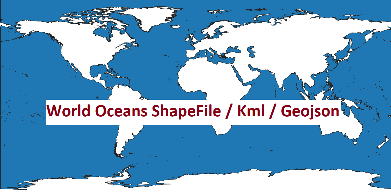
Download World Oceans in Shapefile, GeoJSON and KML Format
The world’s oceans cover more than 70% of the Earth’s surface, playing a critical role in regulating climate, supporting biodiversity, and sustaining human life. For researchers, geographers, and GIS (Geographic Information Systems) enthusiasts, having access to accurate and detailed spatial data of the world’s oceans is essential. Whether you’re mapping marine ecosystems, analyzing ocean currents, or visualizing coastal regions, having the right data in the right format can make all the difference.

In this blog post, we’ll explore where you can download the World Oceans dataset in popular GIS formats such as Shapefile (SHP), GeoJSON, and KML. These formats are widely used in mapping and spatial analysis, and each has its own advantages depending on your project requirements.
Why Use World Oceans Data?
World Oceans datasets are invaluable for a variety of applications, including:
- Environmental Research: Studying marine ecosystems, coral reefs, and ocean health.
- Climate Modeling: Analyzing sea-level rise, ocean temperatures, and currents.
- Navigation and Shipping: Mapping shipping routes and identifying maritime boundaries.
- Education and Visualization: Creating interactive maps for educational purposes.
Having this data in GIS-ready formats allows you to integrate it into tools like QGIS, ArcGIS, Google Earth, and other mapping platforms.
Download World Oceans Data in Shapefile, GeoJSON, and KML Formats
You can download the World Oceans datasets in Shapefile, GeoJSON, and KML formats from the links provided above 🌍🔗 (Data Source ArcGIS Online):
Below are some alternative sources where you can download the World Oceans dataset in the formats you need:
1. Natural Earth
- Description: Natural Earth provides high-quality, public domain map datasets at various scales. Their World Oceans dataset is available in multiple formats, including Shapefile and GeoJSON.
- Download Links:
- Best For: General-purpose mapping and visualization.
2. NOAA (National Oceanic and Atmospheric Administration)
- Description: NOAA offers a wealth of marine and oceanic data, including global ocean boundaries and bathymetry data.
- Download Links:
- Best For: Scientific research and detailed oceanographic studies.
3. OpenStreetMap Data Extracts
- Description: OpenStreetMap provides free, editable maps of the world. You can extract ocean data using tools like Overpass Turbo or download pre-processed datasets.
- Download Links:
- Best For: Customizable datasets and open-source projects.
4. GADM (Global Administrative Areas)
- Description: GADM provides global administrative boundaries, including coastal and oceanic regions, in multiple formats.
- Download Links:
- Best For: Administrative and political boundary mapping.
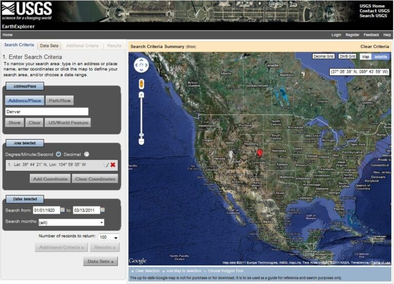
5. USGS Earth Explorer
- Description: The USGS Earth Explorer offers a wide range of geospatial data, including oceanic and coastal datasets.
- Download Links:
- Best For: High-resolution and satellite-based ocean data.
6. Google Earth KML Files
- Description: Google Earth provides KML files for various geographic features, including oceans. You can also convert Shapefiles or GeoJSON to KML using tools like QGIS or ArcGIS.
- Download Links:
- Best For: Visualization and interactive mapping in Google Earth.
How to Use These Formats
- Shapefile (SHP): Ideal for GIS software like QGIS and ArcGIS. It’s a vector format that stores geometric and attribute data.
- GeoJSON: A lightweight format for web-based mapping and JavaScript applications. It’s widely used in platforms like Leaflet and Mapbox.
- KML (Keyhole Markup Language): Perfect for Google Earth and other 3D visualization tools. It supports rich geographic annotations.
Tips for Working with World Oceans Data
- Coordinate Systems: Ensure your data is in the correct coordinate system (e.g., WGS84) for accurate mapping.
- Data Cleaning: Remove unnecessary attributes or simplify geometries to optimize performance.
- Visualization: Use color gradients and transparency to highlight ocean depths or features.
- Integration: Combine ocean data with other datasets like country boundaries, rivers, or elevation data for comprehensive analysis.
Conclusion
Access to World Oceans data in Shapefile, GeoJSON, and KML formats opens up endless possibilities for mapping, analysis, and visualization. Whether you’re a researcher, educator, or GIS professional, these datasets are essential tools for understanding and protecting our planet’s oceans.
Be sure to explore the links provided above to download the data you need. If you have any questions or need further assistance, feel free to leave a comment below. Happy mapping!
Table of Contents
Download Country World Shapefile from here