GeoAI and Big Data Analytics – Spatial Data
GeoAI and Big Data Analytics: Unlocking Spatial Insights with Artificial Intelligence
In today’s data-driven world, understanding spatial information is becoming increasingly crucial. The marriage of GeoAI (Geospatial Artificial Intelligence) with Big Data Analytics offers exciting possibilities for extracting valuable insights from proprietary and real-time data, transforming how businesses and organizations operate.
What is GeoAI?
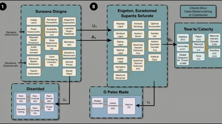
GeoAI is a relatively new and rapidly evolving field at the intersection of Artificial Intelligence (AI) and Geographical Information Systems (GIS). It leverages advanced algorithms, machine learning models, and powerful computational tools to analyze and understand the spatial relationships in various data sources.
Here are some key features of GeoAI:
* **Spatial Reasoning:** GeoAI systems can reason about the geometric relationships between data points, inferring hidden patterns and connections based on their spatial positions.
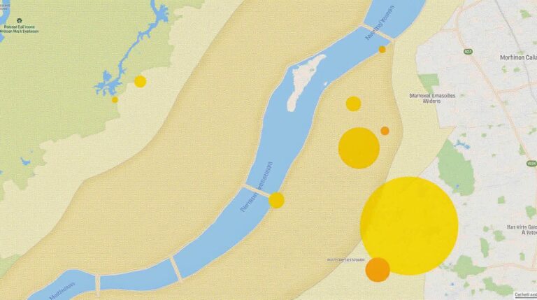
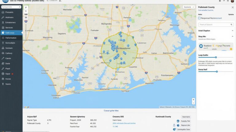
* **Image Analysis:** GeoAI can process and interpret images, satellite data, and aerial surveys to identify objects, understand terrain, and identify potential areas for specific uses.
* **Predictive Analytics:** GeoAI models can predict and forecast events, such as traffic congestion, disease outbreaks, or natural disasters based on historical patterns within a spatial context.
* **Digital Twins:** GeoAI can help create virtual replicas of real-world objects and systems, allowing for real-time analysis and testing of “virtual” scenarios.
Benefits of GeoAI Analytics:
Harnessing GeoAI unlocks a wide range of benefits across various industries, including:
* **Increased Efficiency and Productivity:** Identify optimal routes, warehouses, or store locations for enhanced logistics and supply chain optimization.
* **Enhanced Risk Management:** Tailor data-driven insights to manage environmental risks (flooding, landslides, etc.) more effectively.
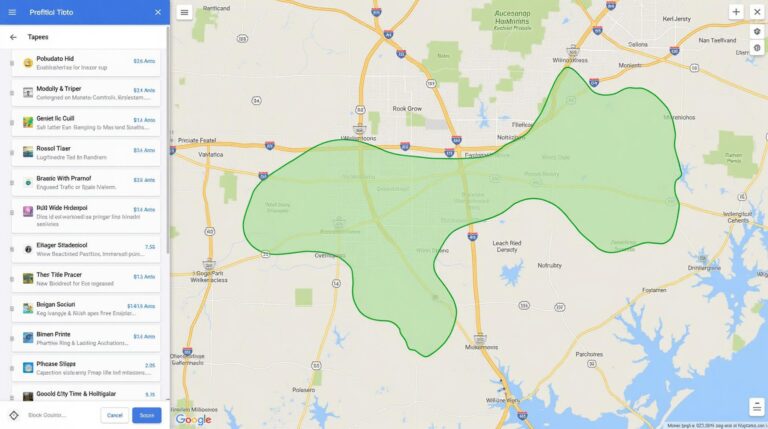
* **Improved Decision Making:** Make smarter decisions using data visualizations and predictive analytics, from urban planning to market penetration.
* **Reduced Costs:** Identify energy consumption patterns and potentially reduce expenditures through efficient resource allocation and usage.
* **Enhanced Customer Experience:** Deliver hyper-personalized services and experiences based on real-time location data.
Practical Applications of GeoAI:
The versatility of GeoAI allows its application across numerous domains:
* **Urban Planning and Sustainability:** GeoAI can generate insights for sustainable urban development by evaluating traffic patterns, congestion levels, and energy consumption.
* **Agriculture and Environment:** Analyze soil type, rainfall data, and crop yields by visualizing spatial information to plan better cultivation and resource management.
* **Business Intelligence:** Guiding retail store locations, optimizing inventory management, and forecasting demand based on regionally specific patterns.
* **Disaster Response and Management:** GeoAI can optimize deployment of emergency personnel, predict and manage potential hazards more effectively.
* **Public Safety and Security:** Analyze crime patterns, identify potential vulnerabilities, and adjust security protocols more effectively.
Resources for Further Learning on GeoAI
* **Esri GeoAI Platform:** Practice with robust tools and prebuilt solutions for various use cases.
* **UN-SPIDER OpenGIS Geospatial Data Resources:** Explore a rich source of data, technical resources, and best practices for Spatial Data Analytics.
* **Google AI Platform for Geoscience Applications:** Leverage these powerful tools for deep learning and remote sensing data analysis.
* **The Geospatial Data Society:** A valuable resource for staying informed about developments and discussions in GIS and GeoAI.
## GeoAI: The Future of Spatial Intelligence
GeoAI is still a rapidly evolving field, but its potential to analyze and interpret spatial datasets is clear. By leveraging its capabilities, organizations can gather deeper data-driven insights, leading to more informed decisions, increased efficiency, better understanding of their environment, and ultimately, a more impactful future. The following resources offer more in-depth details on this exciting field:
* **[GeoAI Conference/Symposium Website]:** Please share a link.
* **[GeoAI Case Studies]:** Please provide links.
* **[Academic Publications]**: Share specific publications.
By embracing GeoAI, businesses and organizations can position themselves on the forefront of future-proof, data-driven innovation and unlock new levels of spatial intelligence.
## GeoAI Big Data Analytics Spatial Data: FAQs
### What is GeoAI Big Data Analytics Spatial Data?
GeoAI Big Data Analytics Spatial Data is a powerful combination of Artificial Intelligence (AI) and data analytics, aimed at visualizing and analyzing spatially complex datasets like satellite images, sensor data, demographics, and social media to understand vital areas of our world in greater depth. This field is at the forefront of innovation, providing valuable insights for various industries like:
* **Environmental Monitoring:** Tracking deforestation, pollution, and climate change. NASA Earth Imaging – Earth Justice App – climate change
* **Urban Planning:** Analyzing city growth, traffic congestion, and public housing needs.
* **Disaster Response:** Predicting and responding quickly to natural disasters and emergencies.
### Is GeoAI Big Data Analytics Spatial Data Widely Available?
Yes, it’s becoming increasingly accessible through various open-source tools and platforms, making this fascinating technology available for data scientists and researchers:
**Platforms and tools currently in use include:**
* **Planet Labs:** https://www.planet.com/
* **Google Earth Engine:** https://earthengine.google.com/
* **Mapbox:** https://www.mapbox.com/
### What Data Formats and Formats are Supported?
GeoAI Big Data Analytics Spatial Data works with several prevalent formats, allowing integration with current data sources:
* **Geospatial Data Formats:** Georeferenced datasets such as Shapefiles, GeoJSON, GeoTIFF, and raster datasets.
* **Big Data Formats:** Large datasets collected from diverse sources can be processed through technologies like Hadoop and Apache Spark, utilizing cloud storage like S3.
### What Can I Use GeoAI Big Data Analytics Spatial Data For?
The possibilities are nearly limitless, accelerating discoverability and data-driven decision making:
* **Geospatial Mapping:** Building insightful visualizations to represent complex environmental, social, and economic processes at a granular level.
* **Anomaly Detection:** Identifying unusual patterns or deviations in real-time data, detecting threats, and preventing damage.
* **Predictive Analysis:** Simulating environmental events, projecting trend patterns, and predicting urban development.
* **Risk Management:** Developing strategies to mitigate risk and provide early warnings for natural disasters or safety emergencies.
### What is the Future of GeoAI Big Data Analytics Spatial Data?
The future holds exciting possibilities, accelerating innovation in several domains:
* **Increased Accessibility:** More common and affordable resources for analysis, making this powerful technology available to a wider audience
* **Integration advancements:** Improved machine learning algorithms for spatial data analysis and improved data visualization tools.
* **Real-Time insights:** Real-time analysis and prediction algorithms will help make us more responsive to changing situations, using an array of sensors and data sources.
**In Conclusion**
In today’s digital world, understanding the spatial relationships and dynamics within complex datasets is crucial. GeoAI Big Data Analytics Spatial Data solutions are revolutionizing how we analyze data and make decisions. The increasing accessibility and advanced capabilities of this powerful technology hold immense potential to change the way we live, work, and interact with our world.