How GeoAI Enhances Disaster Prediction – Earthquake Forecasting
How GeoAI Enhances Disaster Prediction – Earthquake Forecasting
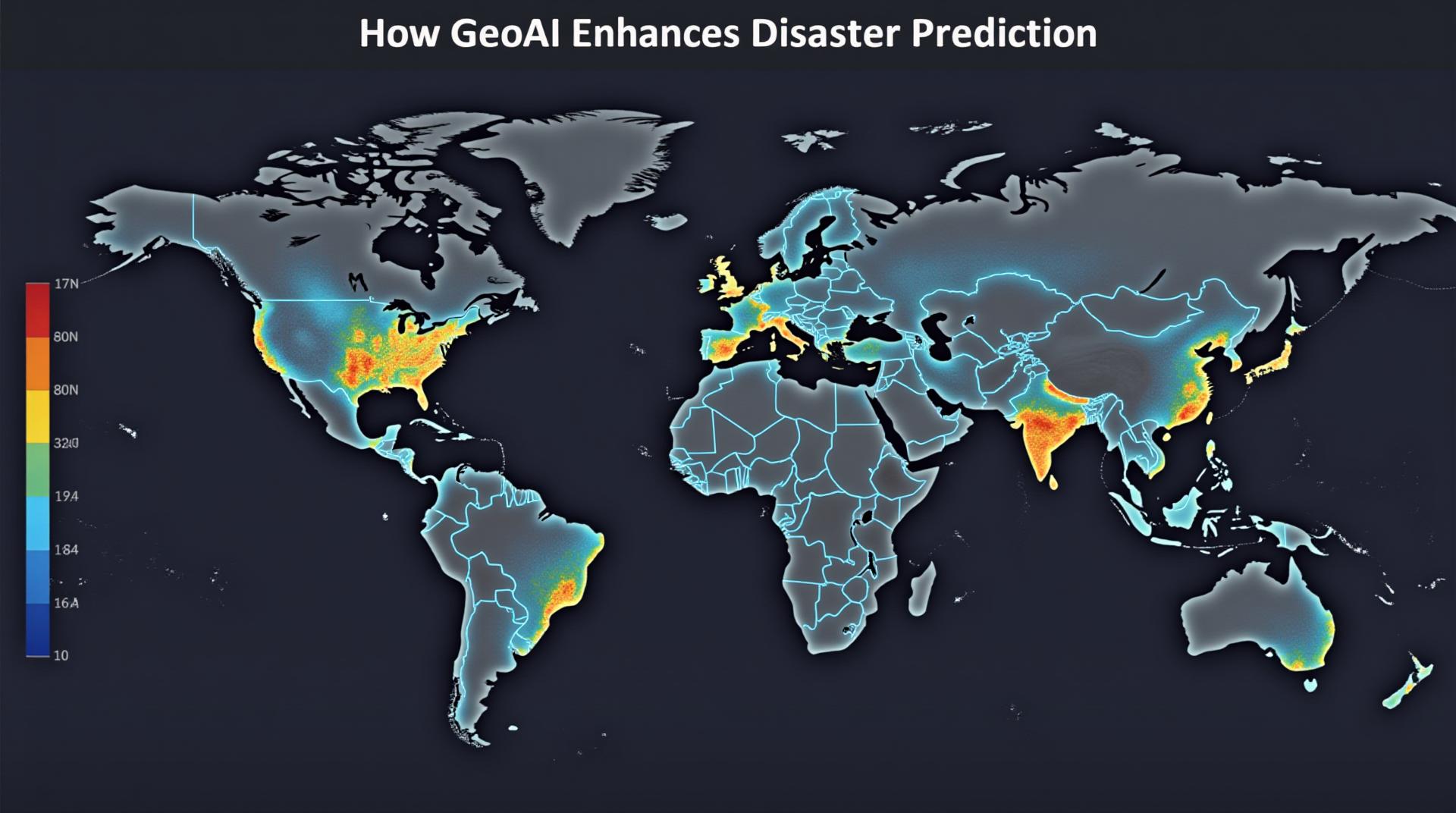
Disasters, whether natural or man-made, pose significant threats to human safety and infrastructure. While predicting their exact timing and magnitude remains a challenge for scientists and engineers, geoAI, or Geospatial Artificial Intelligence, offers a powerful new tool in our arsenal for forecasting and minimizing the impacts of earthquakes.
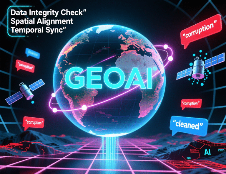
What is GeoAI?
GeoAI combines advanced Machine Learning and Data Analytics techniques with geospatial information, such as satellite images, topographic maps, and geological data. It empowers computers to analyze and understand the intricate relationships between physical phenomena and geographic features, providing valuable insights for disaster prediction.
Key Features of GeoAI for Earthquake Forecasting
- High-Performance Data Integration: GeoAI solutions seamlessly integrate various data sources, including seismic networks, satellite imagery, and sensor networks. This comprehensive approach enhances the accuracy and reliability of earthquake predictions.
- Deep Learning for Pattern Recognition: Neural Networks trained on historical earthquake data can identify complex patterns and predict earthquake occurrences based on these learned insights.
- Predictive Modeling: GeoAI platforms utilize sophisticated statistical models and machine learning algorithms to build accurate earthquake susceptibility layers. These layers can guide evacuation strategies and crisis management plans.
- Multi-Hazard Mitigation: By integrating different geoAI platforms, researchers can combine earthquake predictions with famine, flood, and other natural hazard warnings, integrating data into well-rounded disaster response plans.
Benefits of GeoAI in Earthquake Forecasting
The application of GeoAI in earthquake forecasting offers several key benefits:
- Increased Early Warnings: Effective predictive models can provide substantial lead time for evacuation and preparation, allowing for the rapid deployment of emergency response teams and minimizing potential harm.
- Improved Structural Resilience: By analyzing geological conditions and earthquake risks through GeoAI, engineers can design more resilient structures and infrastructure to minimize the impact of earthquakes. This also helps landowners make informed decisions about building their properties.
- Optimized Resource Allocation: Precise risk assessments enable policymakers and first responders to quickly deploy and allocate available resources, optimizing response efforts and reducing potential losses.
- Reduced Uncertainty and Risks: GeoAI advances our understanding of seismic patterns, offering more accurate predictions and reducing uncertainty associated with future earthquakes.
Examples of GeoAI Applications in Earthquake Forecasting
Here are some applications of GeoAI boosting earthquake prediction efforts:
- Integration of Plate Movement Data: Developing algorithms to combine multiple datasets, including GPS sensor data, to map and analyze plate movement, enabling more sophisticated earthquake probability models.
- Microscale Fault Analysis: Using GeoAI to analyze granular topographical data, such as geological faults, rock formations, and micro-earthquake data to provide more localized risk assessments.
- Vulnerability Mapping: GeoAI helps to identify the most vulnerable areas along fault lines and their surrounding communities. This geographic expertise is crucial for prioritization of action recommendations.
- Historical Earthquake Database Analysis: Utilizing machine learning algorithms to combine historical earthquake occurrence data with modern geospatial data to refine earthquake modeling patterns.
Resources and Further Learning
The following resources can provide further insights into GeoAI and its applications in earthquake forecasting:
- ISASEC-GeoAI (International Seismic and GeoAI Consortium): https://isas-geoai.org/
- USGS Earthquake Hazard Maps: https://earthquake.usgs.gov/hazards/
- Open Source GeoAI Tools: https://github.com/
GeoAI is revolutionizing disaster prediction and earthquake forecasting. As the technology continues to evolve, its potential to reduce the impact of future seismic events will become increasingly significant. By harnessing the power of GeoAI, we can build better preparedness, planning, and mitigation strategies, ultimately increasing resilience and saving lives.
## FAQs: GeoAI for Disaster Prediction (Earthquake, Flood, and More)
### What is GeoAI-Disaster Prediction?
GeoAI is a rapidly evolving field that leverages artificial intelligence (AI) and Geographic Information System (GIS) technologies to enhance disaster prediction and mitigation. This platform combines satellite images, sensor data, and other geographic information to analyze patterns and predict future events.
This solution specifically focuses on predicting disasters like earthquakes and floods, aiming to generate accurate forecasts and improve early warning systems for impacted communities.
### Availability and Formats
* **Data Sources:** We utilize diverse data sources, including historical records, sensor networks, satellite imagery, and weather forecasts, to create accurate and comprehensive models. The data formats supported include:
* **GeoTIFF:** For large-scale datasets like high-resolution imagery.
* **CSV:** To import tabular data for easy analysis and integration.
* **JSON:** For flexible data exchange and machine learning model interaction.
* **Output:** The prediction models can be accessed in various forms:
* **Interactive Maps:** Users can zoom, pan, and navigate through geographical areas to visualize predicted flood/earthquake zones and risk levels.
* **Data Dashboards:** Comprehensive reports with slope analysis, risk factors, and predicted hazard zones informed by AI model analysis.
### How do I use this solution?
The GeoAI-disaster-prediction platform provides user-friendly interfaces for accessing predicted risk levels and visualizing disaster-prone areas. These tools can be accessed through our:
* **Online Platform:**
* **API Access:** Developers can integrate GeoAI models into their own applications through an API. Learn more.
### What are the benefits of using this GeoAI solution?
Impactful Advantages:
* **Early Warning:** Improved accuracy helps generate timely alerts, potentially saving lives and minimizing damage.
* **Informed Mitigation Strategies:** Deep insights in vulnerability zones put existing infrastructure and preparedness measures in greater perspective to mitigate risks.
* **Resource Efficiency:** Optimizes resource allocation through targeted exercises and strategies to reduce response time and uncertainties.
### Conclusion
GeoAI-disaster-prediction tools strategically streamline disaster response by leveraging the power of AI and GIS. By predicting potential hazards with improved accuracy and integrating more responsive features, you can proactively save lives, improve preparedness, and minimize economic and environmental damage.
By embracing this GeoAI solution, we can make communities resilient to disasters and build a safer future.