GeoAI for Ecosystem Health – Habitat Monitoring
## GeoAI: Unveiling the Promise of Habitat Monitoring Through Geospatial Artificial Intelligence
Imagine understanding the intricate ecosystems around us, mapping the delicate balance of life on Earth. Now, imagine having a powerful tool capable of analyzing massive data volumes to predict natural disasters, track shifting habitats, and ensure conservation efforts are targeted effectively. This is the power of GeoAI – Geospatial Artificial Intelligence – and it’s impacting how we protect our planet.**
**What is GeoAI? 🌊📈**
GeoAI combines the power of artificial intelligence (AI) with satellite imagery, geographic data, and big data analytics. It transforms raw spatial data into actionable insights for a myriad of applications, including:
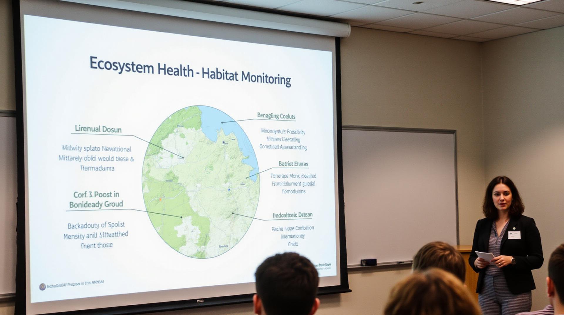
* **Habitat Monitoring:** Identifying and monitoring the health of forests, wetlands, coral reefs, and even individual species.
* **Predictive Modeling:** Forecasting changes in land cover, forest fires, droughts, and climate change impacts using built-in predictive algorithms.
* **Disaster Resilience:** Evaluation of risk maps, early warning systems, and assessing the post-disaster impacts on various ecosystems.
* **Resource Management:** Optimizing agricultural practices, identifying potential land degradation, and enabling efficient water management.
**Benefits You Can Count On 📊🔍**
GeoAI is revolutionizing habitat monitoring by:
* **High Accuracy:** Geospatial AI algorithms provide more accurate and detailed analysis compared to manual methods.
* **Rapid Scalability:** GeoAI processors can analyze vast amounts of data at lightning speed, allowing for rapid updates and improvements.
* **Cost Reduction:** Automation of data analysis and informed resource allocation lead to significant savings in time and resources.
**Applications, Applications, Applications! ✨**
Here are some of the real-world applications leveraging GeoAI to observe habitat health:
**1. Protecting Coastal Ecosystems:**
* **Coral Reef Mapping & Health Monitoring:** Early detection of bleaching events, diseaseoutbreaks, and anthropogenic threats.
* **Coastal Erosion Prevention:** Evaluating shoreline change, warning signs for potential erosion, and identifying erosion vulnerability zones.
**2. Monitoring Forest Health:**
* **Disease Detection:** Identifying outbreaks of pests, diseases, and wildfires.
* **Vegetation Change Monitoring:** Tracking forest density, encroachment, and natural regeneration rates.
**3. Assessing Climate Change Impacts:**
* **Habitat Fragmentation.** Predicting and mitigating the impacts of habitat loss and fragmentation.
* **Carbon Stock Mapping:** Quantifying carbon storage in forests, informing carbon sequestration efforts, and tracking deforestation.
**4. Strengthening Conservation Efforts:**
* **Species Tracking & Monitoring:** Identifying vital migration corridors, assessing habitat suitability, and analyzing population changes.
* **Conservation Planning & Management:** Accurately predicting species distribution and prioritizing conservation zones for threatened species.
**Unlocking the Future of Habitats** ✨
Organizations and researchers around the globe are embracing GeoAI. By harnessing the power of this technology:
* **Scientists:** Accurately monitor and analyze data to gain new insights and build predictive models.
* **Conservationists:** Design targeted actions to conserve endangered species and heal damaged ecosystems.
* **Land Managers:** Scoping out optimal land use, improving efficiency of resource allocation, and maximizing collaborative conservation efforts.
* **Ready to Dive Deeper?**
To further explore the exciting world of GeoAI:
**Research**: Develop your knowledge of the latest advancements in GeoAI techniques and applications.
**Resources**: Utilise online resources like dedicated GeoAI platforms, open-source codes, educational materials, and interactive ArcGIS tutorials.
**Collaboration**: Connect with researchers, practitioners, and experts to share ideas and gain valuable insights.
GeoAI stands as a valuable tool in our pursuit of understanding and protecting our planet’s vital ecosystems. From predicting changes in landscapes to timely interventions in endangered species, GeoAI applications are set to change the landscape of conservation efforts and shaping a more sustainable future for Earth’s biodiversity.
**Let’s build a future where we work together to preserve and understand the incredible ecosystems that make our planet thrive.**
***
**Tags**
#GeoAI #GeospatialAI #HabitatMonitoring #Conservation #AI #Science #Technology #Environment #Sustainability #GIS #Remote Sensing #Data Analytics #Computer Science #Machine Learning #Deep Learning #Earth Science
***
## GeoAI Ecosystem Health & Habitat Biodiversity: FAQs
This document provides answers to frequently asked questions about the geoAI-Ecosystem Health & Habitat Biodiversity concept.
### What is it?
GeoAI-Ecosystem Health & Habitat Biodiversity is a growing field that focuses on using advanced machine learning (AI) techniques to understand and manage the health of ecosystems, specifically focusing on their habitats and the biodiversity within them. This technology can help address critical issues such as deforestation, biodiversity loss, natural disaster impacts, and other stressors affecting ecosystem functionality and resilience.
### Availability
Currently, the geoAI-Ecosystem Health & Habitat Biodiversity technology is being developed and improved by:
* **Academic researchers:** Numerous research teams are working on developing and testing diverse AI models for quantifying and predicting ecosystem health.
* **Environmental organizations:** Organizations like the World Resources Institute and WWF are leveraging geoAI to analyze remote sensing data and provide detailed insights into habitat loss, biodiversity decline, etc.
* **Private companies:** Several companies developing AI applications for environmental monitoring are incorporating geoAI within their solutions for ecological analysis.
### Format
The results of this geoAI-based analysis appear differently, depending on the application and intended use. These possibilities include:
* **Maps with spatially explicit biodiversity data:** This allows visualization of species distribution, habitat connectivity, and other relevant metrics. You can find examples on dedicated platforms like World Wildlife Organization.
* **Predictive models:** These models can simulate ecosystem dynamics and predict future conditions under different scenarios.
* **Monitoring reports:** This format offers comprehensive documentation and reports on the measured changes in ecosystem health and biodiversity through dynamic data tracking.
### Usage
GeoAI can be used for various purposes across different sectors:
* **Conservation planning:** This involves identifying critical areas for habitat protection and prioritizing ecological restoration projects.
* **Disaster risk assessment:** GeoAI can analyze environmental data to forecast and mitigate the negative impacts of natural disasters like floods, wildfires, and droughts on ecosystems.
* **Resource management:** Understanding vital ecosystems like forests, wetlands, or grasslands can inform sustainable resource use and policymaking.
* **Citizen science:** GeoAI facilitates citizen-scientists to overcome data limitations and contribute meaningfully to ecosystem mapping and monitoring efforts.
### What are the benefits of using geoAI-Ecosystem Health & Habitat Biodiversity?
* **Enhanced Accuracy:** Calculates ecosystem health indices with higher accuracy and precision than traditional methods, enabling more informed field operations and analysis.
* **Early Warning and Predictive Modeling:** Identifies potential changes in ecosystem health before they manifest, allowing timely intervention and management actions.
* **Cost-Effective Monitoring:** Utilizes remote sensing technology and AI algorithms, minimizing labor intensiveness and reducing the cost of ecological analysis.
* **Improved Decision Making:** Provides factual data and insights to support evidence-based decisions for land-use planning, policy interventions, and conservation strategies.
### Conclusion
GeoAI brings valuable opportunities to enhance our understanding and management of ecological systems. By combining the analytical power of AI with geospatial data, we gain tools to monitor, preserve, and restore ecosystem health and biodiversity for a sustainable future.
Here is a featured article on geoAI-Ecosystem Health
**Actionable Insights:**
* **Integrate geoAI into your work:** Explore opportunities to incorporate AI and geospatial technology to better analyze your nearby environment and make informed decisions.
* **Support research and development:** Engage with organizations and academia actively involved in geoAI research and contribute to the advancement of the field.
* **Become a citizen scientist:** Participate in various geoAI-focused initiatives and share your data or perform activities to contribute to ecosystem monitoring and research.