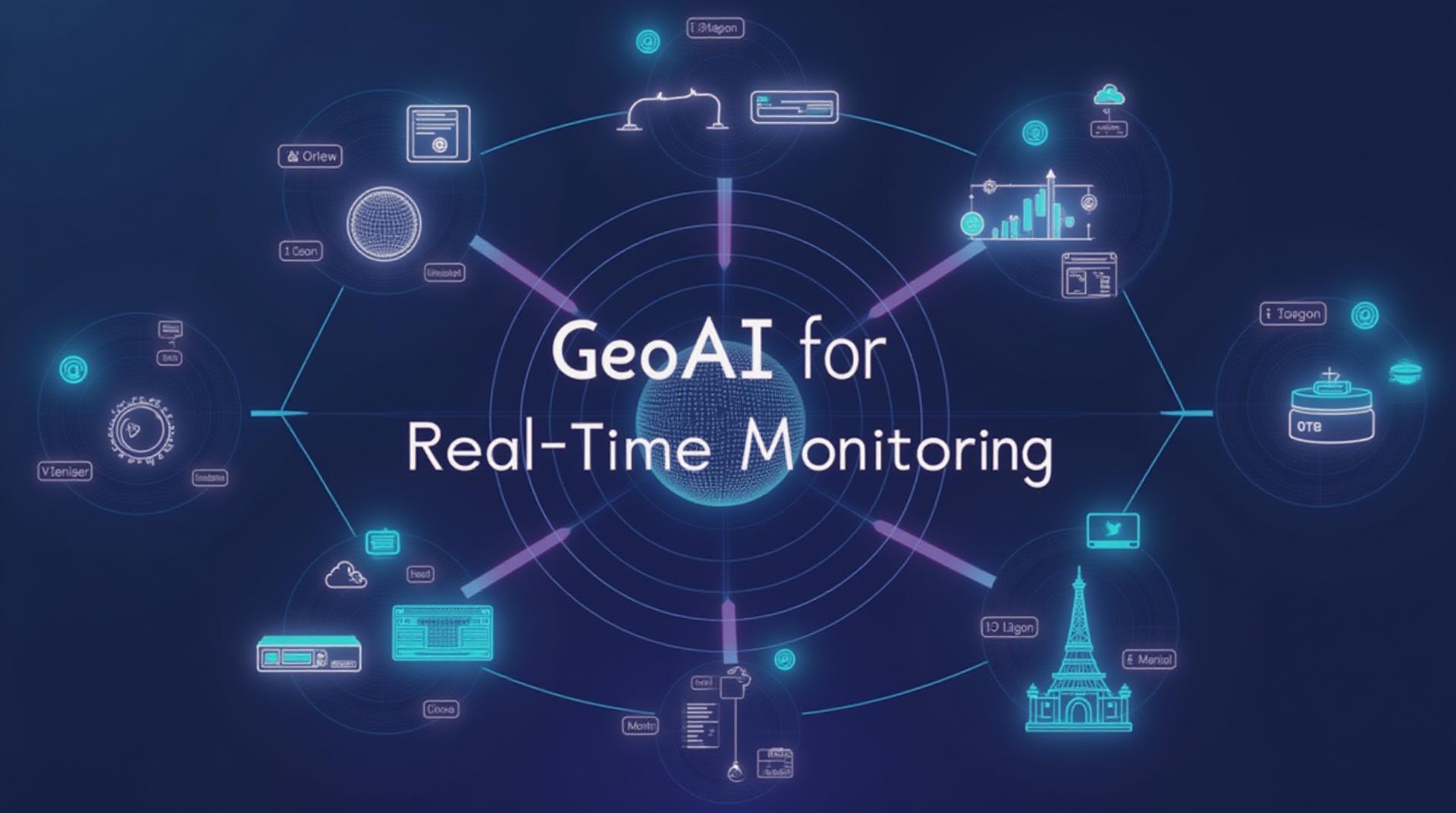
GeoAI for Real-Time Monitoring – IoT
GeoAI for Real-Time Monitoring – IoT: An In-Depth Look
The sheer volume of real-time data generated by the Internet of Things (IoT) is staggering. Whether it’s machine sensor data, traffic patterns, or natural phenomena, the raw information is abundant and ever-increasing. This presents a significant challenge – efficiently processing and analyzing this information to gain actionable insights. Here is where **GeoAI (Geospatial Artificial Intelligence)** comes in. GeoAI utilizes AI technologies to analyze geospatial data, offering a powerful toolkit for understanding these real-time streams and harnessing their potential.
What is GeoAI?
- GeoAI combines advanced machine learning, computer vision, and spatial analysis algorithms with geographical data structures and tools to extract valuable information from geospatial data.
- By incorporating geographic context and spatial relationships, GeoAI offers a sophisticated way to understand complex data patterns and trends.
- GeoAI is often layered upon existing IoT networks, allowing the integration of relevant geographic data for a more comprehensive view.
Key Features of GeoAI for Real-Time Monitoring:
- **Real-Time Data Processing:** GeoAI systems can immediately process raw satellite imagery, meteorological data, sensor readings, and more to generate actionable insights as they become available.
- **Spatial Analysis:** By leveraging tools like GIS (Geographic Information System), GeoAI can process and analyze vast amounts of data, identify geographic variations, and uncover relationships among different data sources.
- **Predictive Modeling:** GeoAI can utilize patterns and trends in existing historical data to create predictive models. This enables forecasting potential real-world situations like flooding or wildfires, offering significant time and cost savings for disaster response.
- **Automated Alerts:** GeoAI systems can be integrated with triggers to automate alerts based on detected events. This ensures immediate action on potential safety hazards, spills, traffic congestion, or other critical situations.
Benefits of GeoAI for Real-Time Monitoring:
- **Improved situational awareness:** Enhanced insights into changing trends in a specific location, which allows for faster, more accurate decision-making in critical situations.
- **Early detection and response for disasters:** Ability to monitor and detect potential hazards with real-time data and trigger customized alerts for immediate action.
- **Facilitated proactive management:** Enable effective management of agricultural land, industrial processes, events, and city-specific concerns.
- **Enhanced resource utilization:** Geospatial insights help optimize resource allocation, potentially streamlining operations like traffic control or supply chain management.
Practical Applications of GeoAI
- **Smart Cities:** Implement real-time traffic monitoring, optimize waste management systems, and enhance urban planning based on dynamic contextual data.
- **Disaster Response:** Provide advanced early warning systems for earthquakes, floods, and other natural disasters, enabling efficient resource allocation and emergency planning.
- **Renewable Energy:** Optimize solar energy farm deployment and grid integration through real-time monitoring of wind and solar potential in specific locations.
- **Asset Management:** Improve the monitoring and management of assets such as automobiles, pipelines, and infrastructure with real-time data for predictive maintenance and optimized routing.
- **Agri Tech:** Analyze agricultural patterns, identify crop health, and optimize irrigation using real-time satellite imagery, environmental data, and weather conditions.

