Using GeoAI for Forest Management – Deforestation Tracking
Using GeoAI for Forest Management – Deforestation Tracking
The Crucial Role of GeoAI in Combating Global Deforestation
Forests play a vital role in regulating our planet’s climate, preserving biodiversity, and providing valuable resources. However, deforestation remains a pressing issue, driven by factors like agriculture, logging, and illegal land clearing. In the fight against deforestation, GeoAI offers a powerful toolkit to monitor, analyze, and counteract these threats effectively.
### What is GeoAI?
GeoAI, short for Geospatial Artificial Intelligence, leverages the power of machine learning and data science to analyze spatial data. It combines traditional Geographic Information Systems (GIS) tools with advanced technologies like:
* **Remote Sensing:** Gathering data from satellites and drones, providing an expansive view of forest landscapes and identifying subtle changes.
* **Machine Learning:** Analyzing data patterns to accurately classify forest types, detect deforestation events, and predict the potential for future deforestation.
* **Deep Learning:** Expanding knowledge, identifying complex patterns, and extracting critical insights from large datasets.
### Benefits of GeoAI for Forest Management
The practical applications of GeoAI promise significant advantages for forest management, including:
* **Early Warning & Prevention:** By analysing deforestation patterns and factors driving them, GeoAI allows for the early detection of potential threats, facilitating proactive interventions such as land-use changes and illegal logging actions.
* **Effective Monitoring & Tracking:** GeoAI provides real-time monitoring of forest health, including:
* **Deforestation Progression:** Effectively tracking the extent of deforestation and identifying areas at risk.
* **Live Forest Monitoring:** Continuously observing forest health status and changes, allowing for timely adjustments to conservation strategies.
* **Data-Driven Decision-Making:** GeoAI offers statistically informed insights into tree density, biodiversity, and vegetation changes, empowering land-use planning and conservation efforts.
* **Resource Allocation & Efficiency:** Optimize resources by focusing on areas with the highest risk of deforestation, aiding in targeted conservation efforts and reducing resource waste.
Applications of GeoAI in Forest Management
**1. Real-time Deforestation Detection:** GeoAI can be utilized to track deforestation in real-time, contributing to swift intervention and proactive responses to illegal logging activities. Satellite imagery and drone footage equipped with hyperspectral sensors process data to identify deforestation markers like tree removal and reduced vegetation cover.
**2. Forest Health Monitoring:** Tools like machine learning algorithms monitor forest health based on laser-scanning data, measuring the stress levels of plants and identifying areas affected by diseases.
**3. Disaster Management:** GeoAI applications are crucial in assessing damage caused by fires or storms, aiding in emergency response efforts and prioritize relief operations for affected populations.
### Resources for Leveraging GeoAI in Forest Management
Numerous resources are available for users interested in implementing GeoAI solutions:
* **Libraries:** Applying open-source AI libraries like scikit-image, tensorflow, and pytorch for advanced data analysis.
* **Commercial Platforms:** Several dedicated GeoAI platforms are available (e.g., Planet Labs, Google Earth Engine, AWS, ArcGIS Pro) that provide access to data and analytics tools, including pre-trained AI models specifically tailored for deforestation detection.
* **Community Data Sharing Platforms:** Diverse datasets of tree density, forest cover, and satellite imagery are accessible through platforms like NASA, USGS, and European Forest Fire Information System.
### The Future of GeoAI in Forest Conservation
GeoAI plays a vital role in addressing the complex and multi-faceted challenge of deforestation. Shifting towards more efficient data collection, sophisticated analytics, and actionable insights powered by GeoAI is key to fostering forest conservation.
As research in this field progresses, we can expect even more sophisticated and nuanced applications of GeoAI in forest management, further aiding in the effort to sustain our planet’s vital, finite forest ecosystems.
**Take action and join the effort towards a better future for our forests:**
* **Inform yourself:** Explore related resources, research papers, and blogs dedicated to GeoAI and its impact on forests.
* **Get involved:** Contribute to efforts to conserve forests by supporting organizations dedicated to sustainable forest management, supporting climate policies, and making informed decisions about your environmental impact.
## Geoai-Forest-Management-Deforestation-Tracking FAQs
**What is geoai-forest-management-deforestation-tracking?**
Geoai-forest-management-deforestation-tracking is a powerful toolset leveraging geographic information systems (GIS) and artificial intelligence (AI) to monitor and analyze deforestation. It combines aerial imagery analysis, satellite-derived data, and sophisticated data processing techniques to gain insights into deforestation patterns, identify threats to forest ecosystems, and assess the impact of human activities.
**How can I access geoai-forest-management-deforestation-tracking?**
You can learn more about the project and its potential use cases at [https://github.com/yourorganizationname/geoai-forest-management-deforestation-tracking](https://github.com/yourorganizationname/geoai-forest-management-deforestation-tracking)
**What Data Does It Use?**
The project utilizes a variety of data sources, including:
* **Satellite imagery**: Provides high-resolution images of vast areas periodically to track deforestation activity.
* **Landsat data**: Offers multispectral data for detailed analysis.
* **AI-driven forest object detection**: Uses machine learning algorithms to accurately identify forest patches and clearings.
* **Geographic data**: Incorporates existing databases of forest boundaries, land use data, and socio-economic factors.
**What formats are available?**
Available outputs vary depending on your inquiry. Common use cases include:
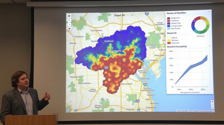
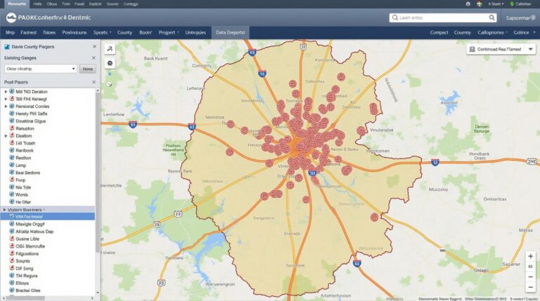
* **Maps & visualizations**: Provides clear visualizations of deforestation patterns.
* **Time series data**: Shows how deforestation rates have changed over time.
* **Alerts**: Triggers notifications when significant deforestation changes are detected.
**How is geoai-forest-management-deforestation-tracking being used?**
Numerous applications utilize this powerful tool:
* **Forest conservation**: Identifying areas most vulnerable to deforestation and informing vegetation management policies.
* **Illegal logging detection**: Unveiling illegal clearing activities and combating associated trafficking.
* **Ecosystem management**: Evaluating the impact of different management practices on forest health.
* **Disaster response**: Evaluating ongoing natural disaster impacts on forest ecosystems.
**What is the key benefit of geoai-forest-management-deforestation-tracking?**
This technology offers critical benefits:
* **Rapid data analysis**: Enables quick and efficient trends identification through data analysis and visualization.
* **Early detection**: Provides early insights allowing timely preventative measures.
* **Informed decision-making**: Offers policymakers and organizations actionable data for effective interventions.
* **Improved resource allocation**: Brings clarity on where to effectively allocate resources for effective mitigation and protection.
## Conclusion: The Future of Forest Conservation
Geoai-forest-management-deforestation-tracking is a revolutionary tool in the fight against deforestation. By leveraging technology and exploring creative applications, we can strengthen our efforts to protect crucial forest ecosystems.
**Suggestions for actionable insights:**
* **Support the development of open-source tools and platforms**: Contribute your expertise or resources to strengthen this vital data set.
* **Promote community engagement**: Involve local communities in data collection and interpretation to ensure long-term sustainability.
* **Advocate for responsible data ownership and ethical practices**: Safeguarding the integrity and privacy of forest-related data is paramount.
This technology represents a vital step forward for achieving a sustainable future for our planet? by ensuring future for our.