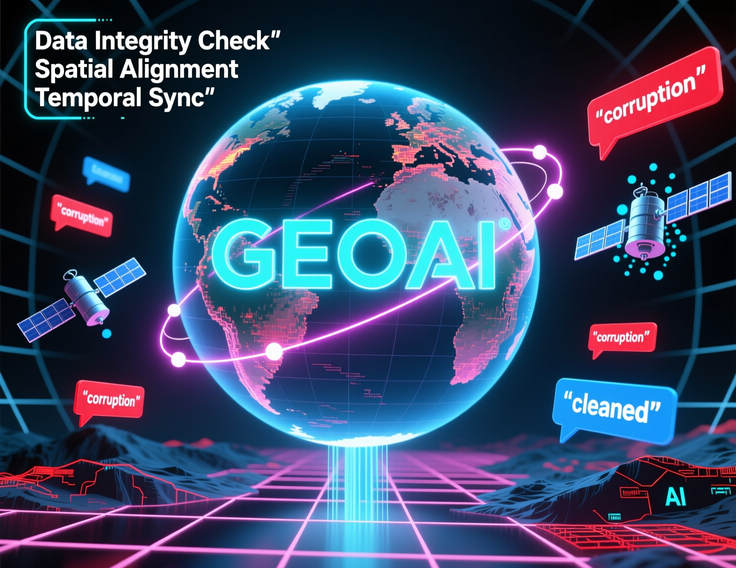
GeoAI and Geospatial Data Quality – Cleaning
The explosive growth of sensors, satellites, and drones has generated an unprecedented torrent of geospatial data – a treasure trove of information about our planet. Geospatial Artificial Intelligence (GeoAI) harnesses the power of AI algorithms to process and interpret this data, unlocking valuable insights for diverse applications ranging from environmental monitoring to urban planning.
What is GeoAI?
GeoAI is a subfield of AI that applies its capabilities to geographic and spatial information. It leverages machine learning, image processing, data analytics, and geographic information systems (GIS) to create intelligent systems that can analyze and model complex spatial patterns and relationships. GeoAI encompasses a wide range of techniques, including:
- Geospatial Modeling and Prediction: Employing algorithms to predict land cover change, water resource availability, or disease spread based on historical spatial trends.
- Image and Remote Sensing Analysis: Utilizing AI to automatically extract features from satellite imagery, such as vegetation types, building footprints, or infrastructure.
- Natural Language Processing (NLP): Analyzing geospatial text data like reports or surveys to gain insights into land use changes or societal trends.
- Generative AI: Using deep learning models to generate synthetic geospatial data, such as realistic 3D visualizations or urban block layouts for simulations.
Why is Cleaning Critical for GeoAI?
The success of any GeoAI endeavor hinges on the quality and accuracy of geospatial data. Data cleaning is not just about removing imperfections; it’s a meticulous process of preparing and refining your raw geospatial data to ensure that you achieve consistent, reliable insights.
Here’s why:
- Improves Data Accuracy and Reliability: Washing your data sounds basic, but by addressing errors like misrepresented coordinates, missing value calculation, data inconsistencies, and overlaps, you ensure the AI models are trained on information that reflects reality.”
- Increases the Interpretability of AI Models: Clean data is significantly easier for humans and AI systems to understand and interpret. This allows for better interpretation of the results and reduces the risk of bias.
- Enhances the Decision-Making Power of GeoAI Systems: Reliable data directly leads to more accurate analyses and better decision-making in various sectors, from city infrastructure management to disaster preparedness.
GeoAI Data Cleaning Techniques
As the complexity and volume of data picked up by sensors keep growing, the cleaning process becomes crucial. Here follow steps involved in evaluating and manipulating your geospatial data:
- Identify Data Errors: Assess the quality of data and look for issues resulting from historical errors, corrupted data files or measurement errors. Check: Latitude and longitude accuracy, coordinate system errors, scale mismatch, annotations, and data format inconsistencies.
- Apply Data Preprocessing Techniques: Clean and rectify the errors found. This may involve filtering noise, correcting misinterpretations, removing outliers, standardizing units of measurement, or creating derived metrics.
GeoAI: Driving Impactful Solutions
Here are some examples of GeoAI’s tangible applications in various industries:
- Real Estate: Predicting property value using automated land use change analysis, identifying potential building permits, and understanding market trends.
- Public Safety: Identifying flood risk and risk areas using remote sensing and Climate Change implications.
- Manufacturing: Optimizing logistics routes via traffic monitoring data and real-time potential road blockage situations.
- Environmental Science: Analyzing crop yields, vulnerability analysis, and deforestation monitoring within remote regions.
Key Resources for Learning More About GeoAI Data Cleaning
To enrich your understanding and begin your exploration into the world of GeoAI, we recommend checking out the following resources:
- Open Geospatial Consortium (OGC):https://www.opengeospatial.org
- Google Earth Engine: https://earthengine.google.com
- GeoData Commons: https://geodatacommons.org
With the advent of powerful processing capabilities in cloud computing and machine learning platforms, data visualization is becoming increasingly reliant on AI-powered tools. The demand for specialized personnel with expertise in these marker technologies will continue to rise.
## GeoAI & Geospatial Data Quality: FAQs
Understanding and improving the quality of geospatial data is crucial for effective geoAI applications. This section provides answers to common questions related to geoai-geospatial-data-quality-cleaning-validation.
### What is GeoAI and Geospatial Data Quality?
GeoAI encompasses artificial intelligence techniques applied to geospatial datasets, allowing for analysis and manipulation of location-related information.
Geospatial Data Quality is the process of ensuring that geospatial data is accurate, reliable, consistent, and complete enough to support effective decision-making and analysis.
### What are the Tools and Services for GeoAI Geospatial Data Cleaning and Validation?
A range of tools and services are available to help manage and enhance geospatial data quality.
* **Open Source Libraries:** geolib and geospatial.py are popular open-source options.
* **Cloud Platforms:** ArcGIS Online and Cloudinary provide data storage, visualization, and processing services, often incorporating advanced validation checks.
* **Commercial Data Validation Software:** Overlap with open source tools for specific needs. For example Snap Credit is industry-leading.
### What are the Common Data Cleaning and Validation Tasks?
* **Data Wrangling:** Transforming raw data to a homogenous format, cleaning inconsistent units or names.
* **Missing Value Handling:** Identifying and addressing missing values with data imputation or removal.
* **Specifying Spatial Accuracy:** Checking the spatial resolution, accuracy, and datum for a dataset.
* **Data Interoperability:** Ensuring consistent data formats, including addressing unique interoperability issues.
* **Feature Classification:** Categorizing and classifying features for interpretation and analysis.
### How can I utilize GeoAI for Geospatial Data Cleaning and Validation?
GeoAI and blue-carbon methodologies can offer great value by:
* **Automated Data Discovery:** GeoAI can help identify and locate relevant datasets, reducing human effort.
* **Predictive Techniques:** AI models can predict potential data inaccuracies and guide data quality validation strategies.
* **Enhanced Data Visualization:** GeoAI-driven visualizations seek to understand spatial patterns by leveraging in-depth geospatial data interpretation.
### I Still Have Questions, Who Can I Contact?
There are several avenues for assistance:
* **GeoAI and GIS Communities:** Consider joining online forums like Reddit’s r/GeoAI to exchange knowledge.
* **University Research Groups:** Seek out university programs or labs specializing in geospatial data science & AI for academic research collaboration.
* **City/State/Country GIS Departments:** Check to see if your national GIS offices have dedicated data quality experts.
## Importance of GeoAI Geospatial Data Cleaning and Validation
High-quality geospatial data is critical for various applications, including:
* **Decision Making:** Accurate data leads to well-informed decisions in fields like urban planning, logistics, and climate modeling.
* **Scientific Analysis:** Valid geospatial data supports thorough analyses in environmental monitoring, geological research, and biodiversity surveys.
* **Economic Development:** Reliable data contributes to efficient urban planning, economic analysis, and resource management.
## Actionable Insights for Geospatial Data Enhancement
* **Establish Data Quality Standardized Processes:** Adopt a comprehensive data cleaning and validation workflow.
* **Embrace Cross-Cutting Approaches:** Combine data cleaning, validation, and prediction AI methods.
* **Invest in Data Literacy and Infrastructure:** Promote data literacy skills amongst your team and build technical skills to effectively use emerging GeoAI solutions.
**By prioritizing and continually improving the quality of our geospatial data, we can unlock its full potential for a more-informed and impactful future.**