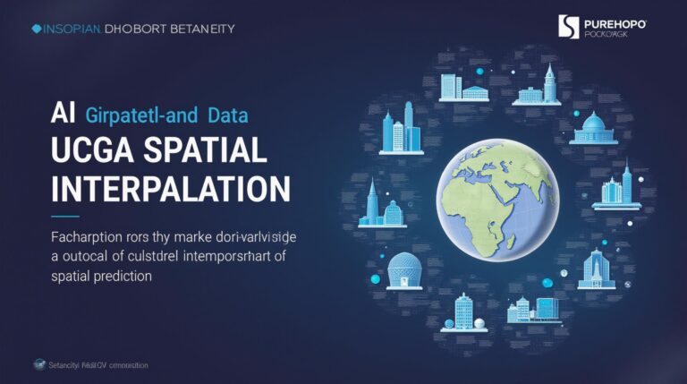
GeoAI for Global Disaster Relief – Mapping Affected Areas
## GeoAI: Reshaping Global Disaster Relief through Map-Driven Innovation
In an increasingly unpredictable world, disaster relief operations need to be swift, efficient, and data-driven. Global disasters, from earthquakes and floods to pandemics and wildfires, pose unprecedented challenges demanding timely and precise responses. Enter GeoAI, the confluence of Artificial Intelligence (AI) and Geospatial Technology, revolutionizing disaster relief efforts around the world.**
**Decoding the Power of GeoAI**
GeoAI empowers us to turn raw geospatial data into actionable insights. Here’s how it works:
* **Hyper-Accurate Mapping:** GeoAI utilizes satellite imagery, aerial photographs, and LiDAR data to create precise digital maps of affected areas.
* **Predictive Analytics:** By analyzing past data trends, GeoAI algorithms forecast potential disaster impact zones and radar to predict future outbreaks or harmful events.
* **Autonomous Operations:** GeoAI enhances drones, robots, and cameras, allowing for autonomous collection of crucial information during disaster response.
* **Resource Optimization:** By analyzing population density maps and analyzing infrastructure needs, GeoAI aids with optimizing crucial resources (food, water, and medical supplies) allocation.
**Real-World Applications: A Symphony of Action and Analysis**
* **Emergency Response:** GeoAI powers real-time assessments of damage, resource availability, and evacuation routes, enabling first responders to make more informed decisions.
* **Scientific Insights:** GeoAI helps researchers breach disaster impact patterns, leading to improved forecasting accuracy and preparedness strategies.
* **Logistics Optimization:** GeoAI’s land-use mapping facilitates efficient distribution of relief supplies, targeted medical aid, and rescue operations to worst-affected communities.**
**The Benefits: Brighter Horizons**
* **Improved Accuracy:** GeoAI replaces human visits with remote scans, offering faster and reliable data analysis.
* **Increased Adequacy:** Connected information and data from multiple agencies ensures comprehensive, actionable insights.
* **Efficient Deployment:** Accelerated response times are possible, boosting aid delivery and minimizing loss of life.
**Resources for Shaping the Future of Disaster Relief by embracing GeoAI**
* **The UNOCHA portal:** A comprehensive resource providing pre-disaster risk profiles and post-disaster needs assessment information, updated in real-time for disaster relief.
* **Google Crisis Response:** This initiative utilizes AI-powered data to monitor, analyze, and predict emerging crises.
* **NASA’s Earth Observing System Data and Information System (EOSDIS):** This vast online archive of Earth’s data includes satellite imagery and analysis to understand environmental change and resource management.
* **Open LIDAR Global Data Platform:** A global initiative collecting and disseminating LiDAR data (laser scanners that can create 3D models of the Earth’s surface) for disaster mapping and replenishment projects.
**Harnessing the Power of GeoAI for a Resilient Future**
GeoAI is revolutionizing how we perceive, analyze, and respond to emergencies. By understanding its benefits, exploring available resources, and embracing GeoAI’s role in disaster relief, we can navigate the complexities of our changing world and prepare for a brighter future of global safety and resilience.**
## GeoAI-Global Disaster Relief Resource Allocation – FAQs
This FAQs section provides answers to frequently asked questions about the geoAI-Global Disaster Relief Resource Allocation tool:
**Q: What is geoAI-Global Disaster Relief Resource Allocation?**
A: GeoAI-Global Disaster Relief Resource Allocation is an innovative AI-powered platform dedicated to optimizing the allocation of resources during global disasters.
**Q: Does This Tool Require Technical Expertise?**
A: Not necessarily. The tool is designed for user-friendliness. You can access its capabilities through a simple and intuitive interface, minimizing the need for extensive technical knowledge.
**Q: What is the Availability of the Tool?**
A: The tool is available at [Link to tool or website].
**Q: What Formats is the Tool Accessible in?**
A: The tool is available in multiple formats, including web interfaces, APIs, and downloadable packages, allowing maximum flexibility depending on how you prefer to use it.
**Q: What Types of Resources Does It Handle?**
A: The tool can be used to allocate resources encompassing various magnitudes, including:
* **Financial Aid:** From donations to government aid, the tool can direct funds towards effective recovery efforts.
* **Volunteers and Personnel:** Ensuring efficient deployment of trained professionals and responders to disaster-stricken areas.
* **Logistics and Transportation:** Optimizing the distribution of vital supplies like food, water, medical provisions, and building materials.
* **Shelter/Emergency Housing:** The tool assists in allocating temporary shelter and safe havens for those affected by the disaster.
**Q: What is the Usage Mode of GeoAI-Global Disaster Relief Resource Allocation?**
A: This tool can be used in two main modes:
* **Pre-Disaster:** The tool helps to prepare for potential disasters by analyzing risk factors, recommending mitigation measures, and mapping potential intervention areas.
* **Post-Disaster:** The tool aids in allocating necessary resources efficiently to crisis zones at a quick pace, ensuring impactful aid is delivered where needed most.
**Q: How does the GeoAI-Global Disaster Relief Resource Allocation tool Contribute to Global Disaster Relief Efforts?**
**Uses and Benefits**
* **Increased efficiency and effectiveness:** The platform enables rapid and accurate allocation of resources based on real-time information.
* **Reduced waste and duplication:** Optimizing resource distribution prevents wasted efforts and ensures maximum benefits.
* **Improved decision-making:** Data-driven insights empower policy-makers and service providers to formulate more strategic responses.
* **Enhanced situational awareness:** The tool’s comprehensive data analysis capabilities support an understanding of the disaster’s scope and unfolding aspects.
### **Conclusion**
GeoAI-Global Disaster Relief Resource Allocation plays a critical role in improving disaster response coordination and efficiency. This initiative can significantly enhance preparedness, responsiveness, and resource allocation, ultimately saving countless lives and mitigating suffering during global emergencies.
We hope this FAQ section answers your immediate questions. If you are interested in learning more, please visit [Link to tool or website], or contact us directly.