Using GeoAI to Identify Natural Disasters – Landslides
Using GeoAI to Identify Natural Disasters: Landslides
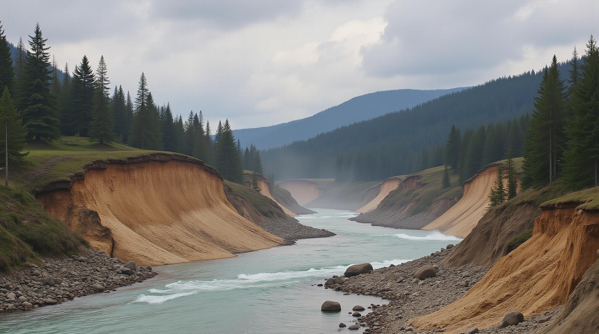
Landslides, encompassing various types of geological events like debris flow, earthflow, and rockfall, pose a significant threat to communities and infrastructure worldwide. Natural disasters can impact densely populated areas and inflict substantial economic and social damage. Fortunately, the rise of GeoAI brings a revolutionary solution to landslide identification, prediction, and risk assessment.
What is GeoAI?
GeoAI refers to the application of artificial intelligence and machine learning approaches alongside geospatial frameworks like satellite imagery and geographical databases. This fusion enables the extraction of insights and patterns from geospatial data, assisting scientists and engineers to understand, analyze, and react to natural hazards.
How GeoAI Can Identify Landslides
- Satellite Image Analysis: Analyzing recurring pattern changes in ground surface movement across satellite images, GeoAI can detect shifting terrain and subtle variations like mudflowTexture.
- Remote Sensing Data: Leveraging various remote sensing techniques, including LiDAR and Radar, GeoAI models enhance analysis accuracy by combining multiple data points and detecting subtle changes in light scattering.
- Geotechnical Analysis: Integrating localized weather data, land slope analyses, and soil composition data to reduce uncertainty and increase preparedness for landslide forecasts.
- Machine Learning Algorithms: Utilizing machine learning methods like Random Forests, Deep Neural Networks, and Support Vector Machines to teach the systems to recognize and categorize various geological features associated with landslides.
Key Benefits of GeoAI for Landslide Identification
- Increased Precision and Accuracy: Comparing traditional methods with GeoAI, real-time assessment of landslide triggers and prevention techniques.
- Early Warning Systems: Detecting subtle terrain changes and predicting upcoming slides, offering early warning potential.
- Enhanced Risk Assessment: Offering a comprehensive view of landslide dangers by identifying potential impact areas and estimating potential damage.
- Lower Disaster Risk: Providing comprehensive information for improved mitigation measures and community preparedness.
Real-World Examples and Usage
The application of GeoAI in landslide applications extends far beyond theoretical possibilities. Numerous practical uses have helped address existing challenges.
* **Italian Landslide Study:** The Italian Ministry of Ecological Transition and the CARA Group used GeoAI to develop an early warning system for landslides in Dolomite hills, successfully achieving specific objectives and reducing landslide-related risks.
* **Singapore’s Coastal Erosion Monitoring:** Singapore effectively employed GeoAI and earth observation data to monitor coastal erosion and predict areas prone to further change, contributing to proactive preparedness for the city’s vulnerable coastlines.
The Future of GeoAI and Landslide Management
GeoAI is at the forefront of revolutionary advancements in disaster mitigation, offering a significant advantage in vulnerability assessment and predictive analysis. With ongoing research and development. Future applications of GeoAI for landslide management will likely include:
* **Integration with Environmental Data:** Integrating real-time weather data, hydrologic models, and soil moisture information to enhance landslide prediction models.
* **Use in Infrastructure Development:** Incorporating risk assessment data into urban planning to mitigate landslides before they occur.
* **Real-Time Monitoring:** Employing data-driven monitoring systems that continuously analyze changes in terrain, using Advanced AI to improve accuracy and speed of detection.
Get Involved in GeoAI Research and Innovation
GeoAI advancements are an evolving field. If you’re interested in exploring the potential of GeoAI, consider the following resources:
* **The Geospatial Research Consortium (GRC):** http://www.geospatialresearch.com – The GRC focuses on research developments and applications for academic and professional audiences.
* **NASA’s Earthdata Search Platform:** https://earthdata.nasa.gov/ Browse a vast collection of Earth observation data and tools.
* **Google Earth Engine:** https://earthengine.google.com Leverage cloud computing to analyze and map vast amounts of geospatial data in one platform.
GeoAI has the potential to transform disaster response and resource allocation strategies, moving us toward proactive risk mitigation and a more resilient future.
## GeoAI Identify Natural Disasters: Landslides Frequently Asked Questions
This guide provides answers to common questions about geoai-identify-natural-disasters-landslides, a powerful tool for disaster risk assessment and mitigation.
What Exactly Is geoai-identify-natural-disasters-landslides?
**geoai-identify-natural-disasters-landslides** is an advanced AI-powered application for identifying landsliding hazards based on satellite imagery and earth observation data.
[https://www.arcgis.com/](https://www.arcgis.com/)
It leverages cutting-edge machine learning algorithms trained on large datasets of geological, climatic, and topographic features. This enables it to:
* Accurately detect and map areas prone to landslides.
* Identify the type of landslide (e.g., debris flow, rotational slide).
* Predict areas at high risk of future landslides.
### How Accessible Is This Landsiide Risk Model?
**geoai-identify-natural-disasters-landslides** is available through a variety of platforms and services:
* **Web Frontend:** https://www.arcgis.com/site/home for a user-friendly interactive portal access.
* **API Access:** Enables developers to integrate the AI model into existing workflows and customized applications.
* **Modularity:** The model can be accessed and customized through pre-built modules and components specifically for landslide detection and analysis.
### What Formats Does it Offer for Data?
– **Spatial Data (Outputs) :** geoai-identify-natural-disasters-landslides produces high-accuracy, location-based maps showcasing landslide susceptibility areas.
– **Data Output (Formats):** This information is delivered through common spatial data formats like GeoTIFF, Shapefile, and KML.
– **Interpretive Analyses:** The model also offers comprehensive reports outlining the landslide risk for specific areas analyzed.
What Can I Use Geoai-Identify-Natural-Disasters-Landslides For?
Here are some key applications:
* **Risk Assessment:** Evaluate and anticipate the risk of future landslides, informing proactive planning for resource management.
* **Environmental Protection:** Identify areas safeguarding rivers, streams, and watersheds from potential landslide impacts.
* **Public Safety:** Inform emergency response teams about landslide-prone areas, facilitating faster and more effective aid.
* **Collaboration:** GeoAI-Identify-natural-disasters-landslides fosters communication across disciplines through accessible visual information, promoting data sharing and collaboration.
I’m Looking to Use This Tool, Where Can I Get Started?
* **Demo:** Explore the demo version on [https://www.arcgis.com/product/a9e195a1228445958a89a840692771ee/](https://www.arcgis.com/product/a9e195a1228445958a89a840692771ee/)
### Conclusion: Why Is This Tool So Important
GeoAI-Identify-natural-disasters-landslides has become an invaluable tool to mitigate disaster risks and enhance societal resilience:
* **Presrometry of Potential Risks:** It accurately assesses the risks posed by landslides, leading to proactive mitigation initiatives.
* **Improved Decision Making:** The model provides critical data for development policies, resource management decisions, and emergency response planning.
* **Effective Resource Allocation:** Predicting landslide activity helps optimize disaster relief programs and allocate resources effectively.
The impact of this advanced tool extends beyond just damage prevention. geoai-identify-natural-disasters-landslides enables us to take proactive steps towards building safer, more resilient communities.
By harnessing the power of geoAI, landslides can be accurately identified and mitigated, protecting lives and resources.
This section provides information on key functions and benefits of geoai-identify-natural-disasters-landslides, encouraging wider use and adoption to tackle the ever-growing challenges of landslides around the globe.