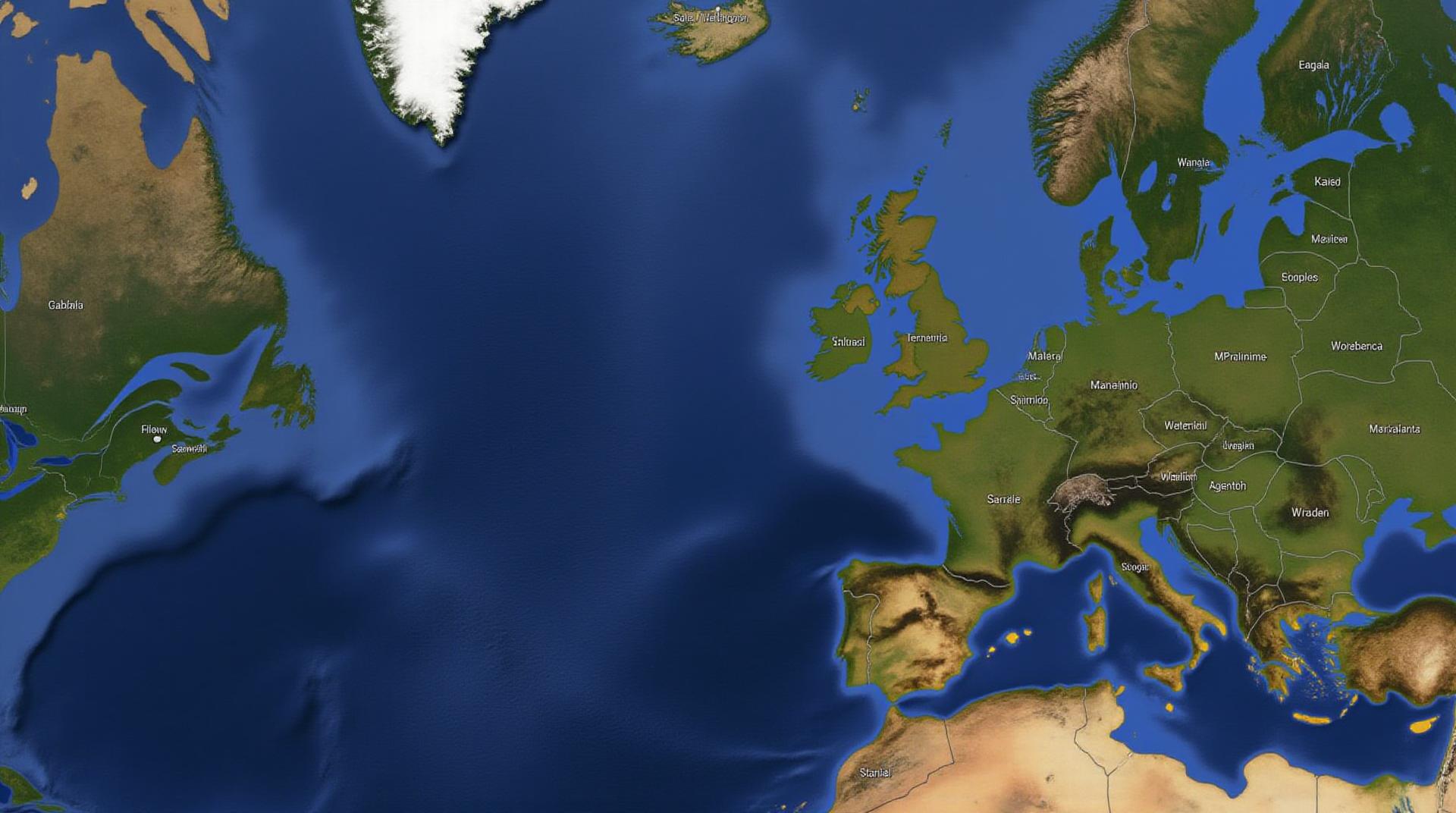
Exploring GeoAI in Maritime Navigation – Shipping Routes
Exploring GeoAI in Maritime Navigation – Shipping Routes
A Deep Dive into the Future of Logistics
The shipping industry is going through a significant transformation thanks to the emergence of Artificial Intelligence (AI) – particularly GeoAI (geospatial AI). This powerful technology is transforming maritime logistics by enhancing navigation, route planning, and overall efficiency.
Let’s dive deeper into this burgeoning field and understand how GeoAI is revolutionizing shipping routes.
What is GeoAI?
GeoAI is the application of AI algorithms to extract insights and generate solutions from geospatial data. Simply put, it refers to using machines to analyze geographical information, like maps, satellite images, weather patterns, and more. GeoAI leverages data like ocean currents, wind speed and direction, turbidity, ice formations, and more to enhance decision-making processes.
Key Features of GeoAI in Maritime Navigation:
- **Real-time Data Analysis:** GeoAI can process real-time data, like weather forecasts and real-world navigation data from ships and sensors.
- **Predictive Routing**: GeoAI can predict potential disruptions and risks, like storms and changing weather patterns. These predictions allow for rerouting or making informed decisions to avoid potential hazards.
- **Optimized Time and Fuel Management:** By calculating efficient routes and anticipating logistically accurate response times, GeoAI can help optimize ship travel times and reduce fuel consumption.
- **Enhanced Safety:** GeoAI can predict and mitigate potential maritime hazards like piracy, grounding, or compromised navigational safety.
- **Improving Maritime Safety:** Through the use of AI, GeoAI can enhance safety levels by predicting flood damage, offering life situational awareness.
Benefits of GeoAI in Shipping Routes:
Implementing GeoAI brings a host of benefits to the shipping industry:
- **Reduced Operational Costs:** Through efficient route optimization and fuel consumption maximization, GeoAI delivers clear cost savings
- **Improved Safety & Security:** GeoAI proactively identifies and responds to potential threats, significantly lowering risks and ensuring safer operations.
- **Enhanced Decision-Making: ** GeoAI empowers decision-makers to access data-driven insights, leading to more informed choices regarding routes, timing, and resource allocation.
- **Predictability and Compliance:** GeoAI helps predict weather patterns and potential operational disruptions, ensuring adherence to maritime regulations during emergencies.
- **Sustainable Transportation:** By reducing fuel consumption and optimizing load efficiency, GeoAI aligns with global efforts to promote sustainability and environmental responsibility.
Practical Applications of GeoAI in Shipping Routes:
The practical applications of GeoAI go beyond just navigating. Here’s how it is used in real-world scenarios:
* **Autonomous ships:** GeoAI is driving the development of autonomous maritime systems, revolutionizing shipping tasks with its enhanced situational awareness.
* **Port optimization:** GeoAI allows for efficient cargo loading and unloading, smoother port traffic flow and assisting container handling process
* **Fishery management:** GeoAI can predict fish populations, monitor fishing vessels, and set maximum catch quotas for sustainable fishing practices.
* **Coastal hazard mitigation:** GeoAI helps identify and mitigate risks associated with coastal erosion, flooding, and marine pollution.
* **Maritime environment monitoring:** GeoAI monitors ship movement, identifies potential risks, and manages environmental impact concerns.
Resources for Learning More about GeoAI
If you are interested in learning more about GeoAI and its future in maritime logistics, check out these essential resources:
* **GeoAI Communities:** Forums and communities dedicated to GeoAI development, including websites, social media groups, and online forums.
* **Research publications:** Academic journals and online databases that publish research articles on GeoAI in maritime fields.
* **Industry events:** Conferences and workshops focussed on the application of GeoAI in maritime logistics.
* **Vendor websites and Blogs:** Leading companies in ai and maritime technology offer valuable insights and updates on their platforms.
By embracing GeoAI, the maritime industry can navigate towards a future defined by efficiency, safety, and sustainability.
You’re looking to understand how GeoAI is applied to maritime navigation, including how it affects shipping routes. Here’s a breakdown of FAQs and key insights on this exciting trend:
## GeoAI in Maritime Navigation & Shipping Routes: FAQs
**1. What is GeoAI?**
GeoAI (Geographic Artificial Intelligence) uses machine learning and data analytics to understand, analyze, and interpret spatial information. In maritime navigation, GeoAI helps improve efficiency, safety, and sustainability by analyzing factors like weather, tides, currents, and vessel traffic system data.
**Learn More:** https://www.google.com/search?q=geoai+maritime+navigation
**2. Is GeoAI currently available for shipping routes?**
Yes! Several GeoAI tools now utilize large datasets, creating value-added insights for prediction of routing, weather conditions, port feasibility, and optimizing routes for efficiency and safety.
**Explore Tools:** Research for Maritime Geo-AI >
**3. What are the common formats of GeoAI data used by shipping organizations?**
Data can come in various formats:
* **Vector data:** Points, lines, and polygons representing geographic features like buoys, coastlines, and port infrastructure. Used for route planning and collision avoidance.
* **Raster data:** Images or grids representing spatial data at a specific resolution. Most often used for specialized analysis like satellite imagery and weather forecasts.
* **Sensor data:** Real-time data from satellites, radars, and ship sensors providing valuable information for vessel speed tracking, weather monitoring, and environment awareness.
**Source for Formats:** [Marine Data Formats](https://www.researchgate.net/publication/347804531_Marine_Data_Formats_and_Cybersecurity_Challenges).
**4. How can I access GeoAI in maritime navigation and shipping routes?**
Several providers are developing applications and platforms to make GeoAI accessible.
* **Cloud services:** AWS, Google Cloud, and Microsoft Azure provide custom models and pre-trained algorithms focusing on maritime data.
* **Specialized platforms:** Companies like IBM are researching and developing proprietary solutions built for maritime operations.
**Research and Development:** [Development of AGI for Maritime Navigation](https://www.globalcommoditiesmarket.com/gpt-3-and-the-future-of-shipping/)
**5. What types of impacts will GeoAI have on shipping routes and operations?**
* **Optimized routes:** GeoAI will improve route planning for fuel efficiency, considering weather and other environmental factors.
* **Safety enhancements:** By predicting potential hazards, GeoAI will assist in improved navigation, preventing collisions and accidents.
* **Environmental sustainability:** By simplifying vessel trips, controlling fuel consumption, and considering traffic flow, GeoAI can contribute to shipping’s reduction of carbon footprint.
## Key Takeaways:
GeoAI has the potential to revolutionize the maritime industry, leading to more efficient, safer, and sustainable shipping. The use of GeoAI for shipping routes will help save time and reduce operational costs, all while forcing better environmental practices vital to a climate-conscious world.
**Get Involved:** Continue exploring this emerging field by researching data providers, subscribing to relevant news, and attending conferences for industry professionals.
This text provides a glimpse into GeoAI in maritime navigation and shipping routes. The technology’s role is still developing, but its potential impact on the industry’s future is significant.