Using GeoAI for Population Health Mapping – Disease Mapping
Using GeoAI for Population Health Mapping – Disease Mapping
In today’s sophisticated healthcare landscape, understanding health trends and predicting disease outbreaks requires innovative approaches. Enter GeoAI, a powerful combination of Geographic Information System (GIS) technology and Artificial Intelligence (AI), revolutionizing how we analyze and address disease evolution.
What is GeoAI and How Does it Work?
GeoAI uses algorithms and AI models to analyze, interpret, and visualize geographic data. By connecting big data sets with geographical information, it allows us to understand spatial patterns and trends, identifying hotspots for disease. Think of it like utilizing a powerful, data-driven lens to understand complex health issues.
- Data Sources: GeoAI leverages various data sources, including clinical records, demographic data, environmental factors, transportation networks, and disease surveillance reports.
- Analytical Capabilities: By incorporating AI algorithms, GeoAI excels at identifying correlations and relationships between demographics, disease prevalence, environmental conditions, and other factors.
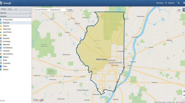
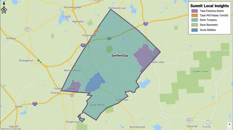
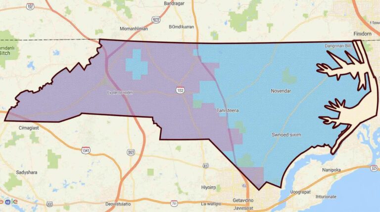
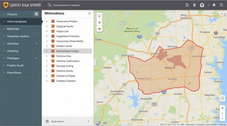
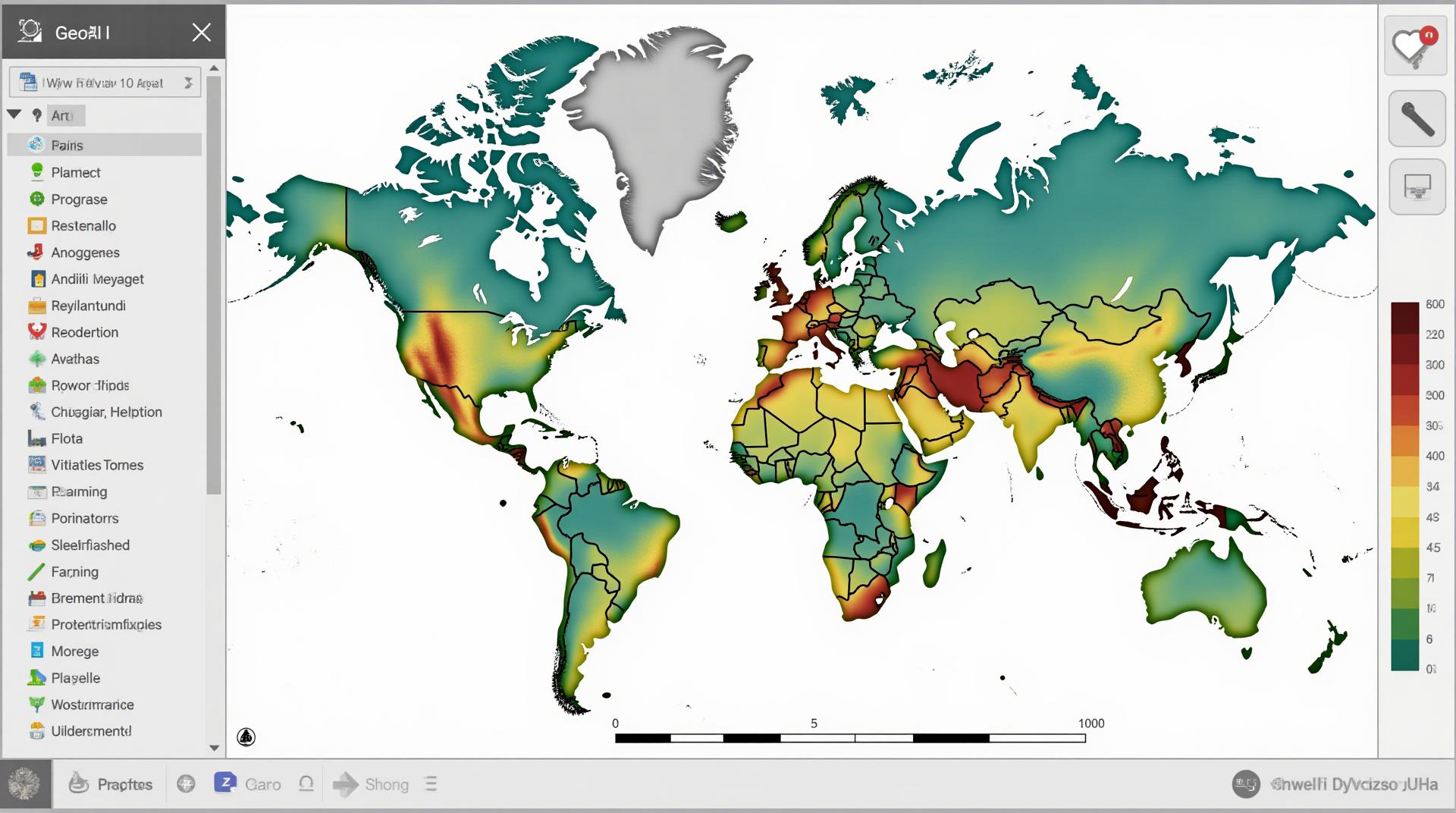
- Geospatial Visualization: GeoAI creates engaging maps, graphs, and dashboards, enabling healthcare professionals and policymakers to visualize population health trends and understand geographical disparities in disease distribution.
Benefits of GeoAI for Population Health Mapping
The application of GeoAI brings significant advantages to population health mapping and disease analysis:
- Early Detection and Intervention: GeoAI can identify geographic clusters of susceptibility to certain diseases, facilitating proactive intervention and tailored preventive measures at an early stage.
- Population-Specific Research and Optimization: Understanding population health spatially focuses research on geographically relevant interventions, gauging resource allocation, and targeting optimal treatments.
- Accurate Risk Modeling: Through AI, GeoAI can create predictive models that estimate disease likelihood based on geographical factors, allowing healthcare institutions to prepare ahead.
Practical Applications in Disease Mapping
Here are some compelling examples of how GeoAI is transforming disease mapping:
1. Targeted Surveillance and Outbreak Response
GeoAI helps track disease outbreaks in real-time, identifying areas with high infection rates near healthcare facilities and community centers. This timely data allows governments and hospitals to react swiftly and allocate necessary resources like medical personnel and supplies where they are most needed.
2. Infectious Disease Prediction
By analyzing historical data, historical prevalence, and environmental factors like weather and travel routes, GeoAI models can predict potential disease hotspots. These forecasts help allocate resources and provide timely messages to the public to mitigate risks.
3. Proactive Preventive Measures
Identifying areas with high incidences of chronic diseases like diabetes and heart disease allows for focused public health campaigns and initiatives tailored to individual regions. Promoting healthy lifestyles and accessibility to healthcare facilities becomes easier when these outbreaks are proactively identified.
4. Optimizing Healthcare Resources Allocation
GeoAI ensures efficient resource allocation for hospitals and clinics specific to a region. This is achieved by Identifying demand areas and pressure points in real-time, ensuring equitable access and service delivery.
Tools and Resources for GeoAI
Here are some crucial resources and tools for leveraging GeoAI in disease mapping:
* **ArcGIS: ** This comprehensive GIS software by Esri is one of the leading solutions for analyzing and visualizing geographical data. It’s widely used for visualization, data management, and conducting complex spatial analysis. https://www.esri.com/en-us/products/arcgis
* **R Studio and Geospatial Packages:** These statistical programming languages and R packages offer powerful functionalities for data analysis, visualization, and spatial statistics.
* **Google Earth Engine and Cloud Platforms:** These cloud-based platforms offer computational power and access to large geospatial datasets, making GeoAI analysis more accessible.
* **Public Datasets and APIs:** Websites like [https://www.kaggle.com/](https://www.kaggle.com/) and APIs from government agencies and public health organizations offer access to valuable data, helping researchers and development teams.
Conclusion
GeoAI is reshaping the landscape of population health mapping and disease prediction. By harnessing its power, we can move beyond reactive disease tracking and equip ourselves with the tools to predict, prevent, and manage health threats effectively. The future of healthcare is data-driven, and GeoAI acts as a critical compass directing us in the right direction.
## FAQs: GeoAI-Population Health Mapping Disease
This FAQ section provides answers to common questions regarding the geoAI-population-health-mapping-disease tool and its applications.
**Q: What is geoAI-population-health-mapping-disease?**
A: geoAI-population-health-mapping-disease utilizes artificial intelligence and geographic information systems (GeoAI) to identify and analyze health patterns and occurrences at a local and global scale. It combines spatial data, disease-specific variables, socioeconomic factors, and health data to create insightful visualizations, predict disease outbreaks, prioritize interventions, and improve population health.
**Q: What formats does geoAI-population-health-mapping-disease support?**
A: This tool can read and create various formats of mapping data, including:
* **Geojson** for interactive maps with detailed data layers
* **Shape files** for geospatial data analysis
* **Excel spreadsheets** for structured data import/export
**Q: How is geoAI-population-health-mapping-disease implemented?**
A: This tool is readily accessible through a user-friendly web interface. You can utilize it for:
* **Data exploration:** Viewing, downloading, and adding data visualizations
* **Mapping disease clusters:** Identifying high-risk areas for specific diseases using spatial analysis
* **Trend analysis over time:** Tracking disease occurrences across regions and over periods
**Q: What is the role of data in geoAI-population-health-mapping-disease?**
A: Data is the fundamental building block of geoAI-population-health-mapping-disease. The tool focuses on utilizing a variety of data sources, including:
* Public health datasets (e.g., population demographics, healthcare utilization, incidence and prevalence of diseases)
* Environmental data (e.g., air quality, proximity to environmental hazards)
* Socioeconomic data (e.g., poverty levels, access to healthcare facilities)
**Q: Who can benefit from geoAI-population-health-mapping-disease?**
A: This tool is beneficial for various stakeholders including:
* **Public health officials:** Supporting public health planning, resource allocation, and prevention initiatives
* **Medical research institutions:** Facilitating epidemiological studies and identifying evidence-based interventions
* **Government agencies:** Improving public policy decisions and targeting resources effectively
* **Healthcare organizations:** Tailoring patient care and facilitating early intervention and community health outreach
**Q: Where can I learn more about geoAI-population-health-mapping-disease? **
Visit the official site for more details and resources.
## Conclusion
geoAI-population-health-mapping-disease represents a powerful tool for advancing healthcare through geographical and data-driven insights. By providing detailed maps, trajectories, and resource allocation information, this tool empowers proactive population health interventions, disease prevention, and community-level improvement. By leveraging this technology, we can work towards a future where public health is built on a foundation of evidence-based solutions driven by spatial intelligence.