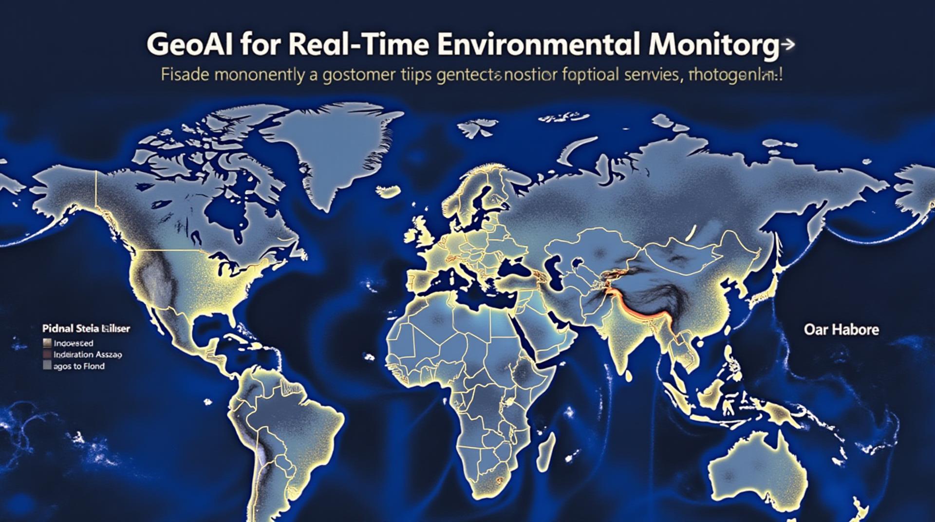
GeoAI for Real-Time Environmental Monitoring – Sensors
## Real-Time Environmental Monitoring: The Power of GeoAI
Our planet is experiencing unprecedented challenges, from climate change to pollution and natural disasters. Real-time environmental monitoring is crucial for understanding these issues, and GeoAI is emerging as a powerful tool to address them.
**What is GeoAI?**
GeoAI, or Geospatial Artificial Intelligence, is the use of AI and machine learning to analyze and visualize geographic data from various sources. It integrates powerful algorithms with spatial information, such as location, address, elevation, and environment, for more efficient and insightful information extraction.
**Benefits of GeoAI for Real-Time Environmental Monitoring:**
GeoAI empowers real-time environmental monitoring through:
* **Enhanced Accuracy and Detail:** Natural phenomena are often vast and complex. Traditional methods often struggle with this. GeoAI leverages its spatial intelligence to analyze larger datasets with higher accuracy. The data analysis is refined by the geographic context, allowing for precise insights.
* **Rapid Data Collection and Analysis:** GeoAI can automate data collection processes from various sensors, GPS locations, and satellites. Using satellite imagery, drones, and atmospheric sensors, data can be captured instantly, enabling real-time monitoring and analysis without delays.
* **Improving Disaster Response:** In the face of natural disasters, speed of response is essential. GeoAI’s processing and rapid insights can help authorities make decisions on evacuation routes and allocate emergency resources for a quicker and more effective response to crises.
* **Real-time Pollution Monitoring:** GeoAI can be used to track air pollution levels by analyzing data from environmental sensors and satellite imagery. This data allows for a comprehensive view of pollution trends and help identify pollution hotspots, facilitating prompt action.
* **Climate Change Monitoring:** GeoAI helps track and analyze climatic changes such as extreme weather events, ocean temperatures, and ice melts, providing critical information about the climate’s impact on our planet.
**Uses of GeoAI in Environmental Monitoring:**
* **Air Quality Monitoring:** Analyzing air pollution levels in real-time, identifying air quality hotspots, and adapting to heavy traffic during certain times.
* **Water Quality Monitoring:** Tracking water quality changes, discovering illegal discharges, and identifying pollution sources.
* **Wildlife Conservation:** Analyzing habitat changes and migration patterns, helping manage and protect vulnerable species.
* **Forest Monitoring:** Detecting and managing deforestation, wildfire propagation, and areas at risk for erosion.
* **Climate Change Research:** Understanding the impact of climate change by analyzing rising sea levels, ice melt patterns, and associated ecological interactions.
* **Ocean Management:** Monitoring ocean acidification, fish populations, and tracking pollution in the marine environment.
**Resources for Learning More:**
* **The Open Geospatial Consortium (OGC):** An organization dedicated to promoting interoperability across geospatial data. Opensource open data initiatives and standards for use in GeoAI.
* [https://www.opengis.org/](https://www.opengis.org/)
* **The Geospatial Community (QGIS):** A digital user community focused on spatial analysis and data visualization. Provides resources, tutorials, and forums for learning more about GeoAI.
* [https://www.qgis.org/en/site/](https://www.qgis.org/en/site/)
* **ESRI World: ** ArcGIS platform allows businesses to harness the power of Geospatial data and advanced analytics.**
* [https://www.esri.com/en-us/](https://www.esri.com/en-us/)
**Conclusion**
Real-time environmental monitoring is vital for understanding and addressing the challenges our planet faces. GeoAI is revolutionizing this field with its powerful tools for collecting, analyzing, and interpreting environmental data. It offers a new and exciting avenue to guide science, mitigation, and conservation efforts towards building a more sustainable future.**
## GeoAI-Real-Time Environmental Monitoring FAQs
This document explains common questions about geoai-real-time-environmental-monitoring, such as availability, formats, and usage.
### What is GeoAI-Real-Time Environmental Monitoring?
GeoAI-real-time environmental monitoring uses artificial intelligence (AI) to analyze environmental data, often from various sources like sensors, satellites, and drones, in real-time.
### How Does it Work?
GeoAI-based environmental monitoring systems combine:
* **Geographic Information Systems (GIS):** Maps and analyzes geographic locations to find patterns.
* **Artificial Intelligence (AI):** Leverages computer algorithms to perform analysis, prediction, and generate insights.
* **Real-time Data Collection:** Continually gathers data from various sources to update the system’s understanding of environmental conditions.
GeoAI puts all this together to provide:
* **Autonomous Monitoring:** Records and analyzes environmental factors automatically.
* **Early Warning Systems:** Identifies and predicts potential risks before they become severe.
* **Targeted Action:** Provides actionable information for informed decision-making and pollution management.
### What are the Benefits?
**Enhance Sustainable Practices:**
* Monitor and manage water pollution, greenhouse gas emissions, and hazardous substances.
**Improve Resource Allocation:**
* Optimize resource use for agriculture, transportation, energy, and logistics.
**Detect Environmental Hazards:**
* Provide insights for early disaster prediction and prevention.
### Availability and Formats
**Data Formats:**
* Real-time data is usually delivered in formats like JSON, CSV, or KML.
* Pre-processed and visualized data can be found in formats like GeoTIFF, GeoJSON, and maps.
**Platforms:**
* Cloud-based platforms (e.g., Google Earth Engine, AWS SageMaker) are frequently used for hosting the processing and storage of geoai systems.
### How Can I Access GeoAI-Real-Time Environmental Monitoring?
Keep in mind that accessibility and usability of specific tools depend on the specific service and platform.
See more information about open-source services and platforms: https://www.gov.uk/government/publications/real-time-environmental-monitoring-technologies-for-uk-citizens
There are options for combining open-source geoAI tools with specific services.
### What kind of Usage Are Relevant?
GeoAI real-time environmental monitoring has wide applications across various industries, including:
* **Agriculture:** Early detection of drought, disease, and pest infestations in crops
* **Urban Planning:** Monitoring air quality, noise pollution, and assess the vulnerability of infrastructure to climate change
* **Environmental Conservation:** Tracking endangered species, monitoring habitat health, and preventing illegal poaching.
### Key Takeaways
GeoAI-real-time environmental monitoring is instrumental in safeguarding our planet and improving human lives. It transforms the way we perceive and manage environmental challenges, leading to better policies, more sustainable practices, and a safer future. We look forward to applying it widely and effectively towards addressing the complex environmental issues of our time.