How GeoAI Supports Renewable Energy Planning – Solar
How GeoAI Supports Renewable Energy Planning: Solar
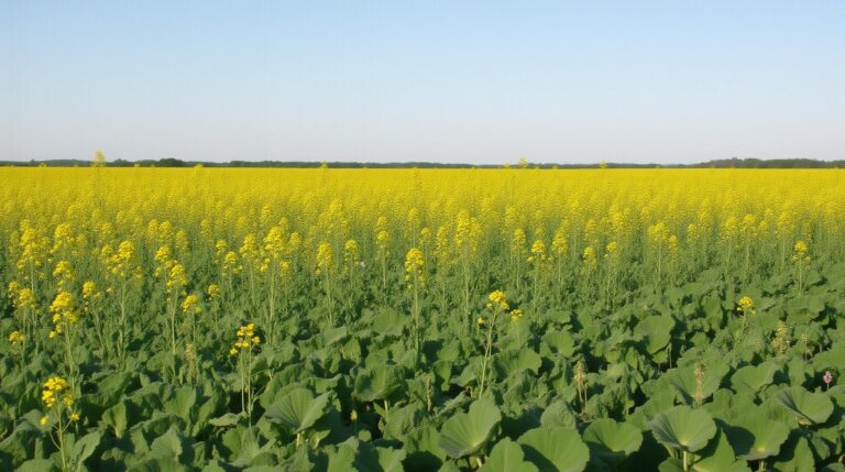
The quest for sustainable energy solutions intensifies daily, and solar energy ranks high on the global agenda. As the world moves towards greener alternatives, the need for accurate and efficient planning in deploying solar energy infrastructure amplifies. This is where Geospatial Artificial Intelligence enters the picture – revolutionizing renewable energy planning, specifically focused on solar.
What is GeoAI?
Geospatial Artificial Intelligence (GeoAI) combines the power of Artificial Intelligence (AI) and Geographic Information Systems (GIS) to analyze and interpret geographical data. It leverages advanced algorithms and data processing technologies to extract valuable insights from spatial data, enabling comprehensive and informed decision-making in diverse fields, including renewable energy.
Core Features of GeoAI for Solar Planning
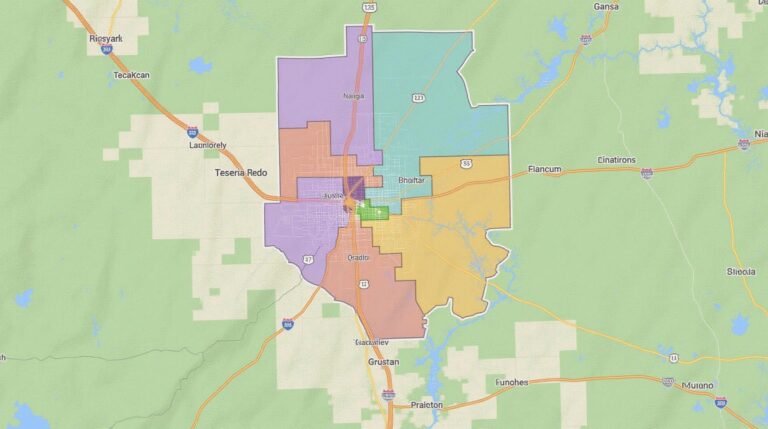
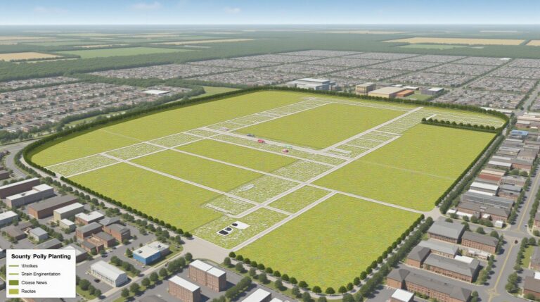
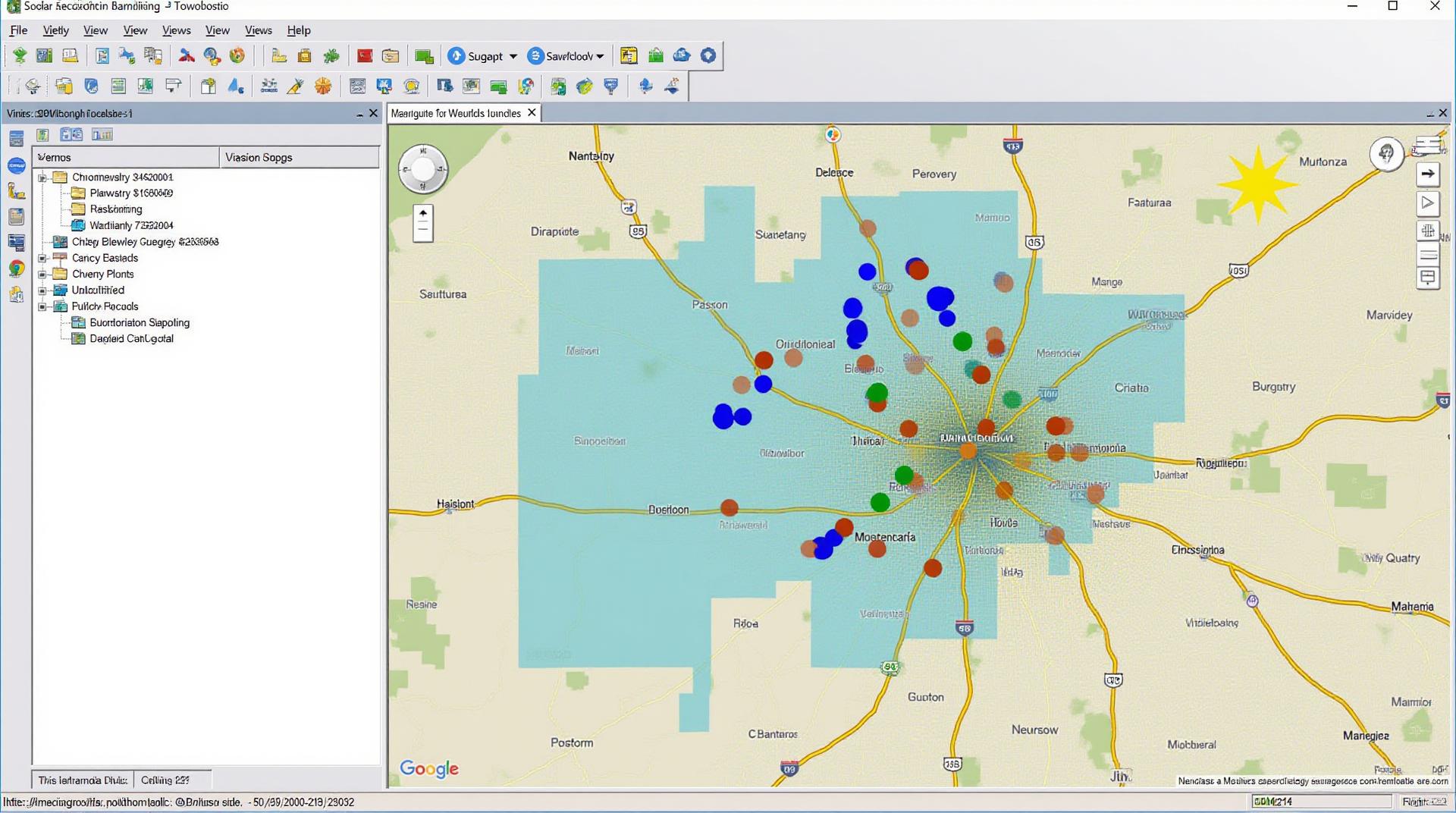
* **Satellite Imagery Analysis:** Analyzing vast amounts of satellite imagery to identify suitable locations for solar installations, considering aspects like sunshine hours, land cover, shadow analysis, and potential environmental impact.
* **Earth Observation Data Integration:** Integrating data from various sources, such as ground-based sensor networks, historical meteorological records, and even public weather information, to create a robust, predictive model of solar resource potential for specific locations.
* **Terrain and Topography Analysis:** Using geospatial data to assess suitable land positions for solar farms, taking into consideration factors like slope, terrain, elevation, and access to infrastructure.
* **Dynamic Modeling and Optimization:** Building advanced models that predict solar energy production trends and optimize the layout and efficiency of solar panels, considering factors like panel angle, sun path, and shading to maximize energy output.
* ** Crowd-sourcing and Data Capturing:** Integrating mobile data, crowdsourcing, and user-generated reports to create a more robust and real-time understanding of solar potential.
Benefits of GeoAI for Solar Energy Planning
The use of GeoAI offers numerous advantages for the efficient and accurate planning of solar energy projects.
1. **Increased Solar Energy Generation:** GeoAI-driven optimization ensures maximum solar panel placement, minimizing shadows, maximizing sunshine exposure, and optimizing energy output. This leads to notably higher energy production from solar installations.
2. **Reduced Development Costs:** Accurate assessments of resource availability, setbacks, and technical feasibility through GeoAI upfront analysis can eliminate costly setbacks and re-planning during later stages of the project.
3. **Simplified Regulatory Compliance:** GeoAI can help facilitate compliance by presenting legal boundary specifications, electrical grid connections, and other regulatory information in automated maps, reducing potential late-stage complications.
4. **Efficient Project Execution and Risk Mitigation:** The ability to analyze risks, predict site-specific weather patterns, and simulate potential issues – like rooftop shadowing from built structures – ensures a faster and more successful project completion process, minimizing natural and technical surprises.
5. **Improved Stakeholder Communication:** GeoAI provides clear visualization tools to communicate project constraints, resource availability, and comparative analysis to stakeholders, facilitating informed decision-making and reduced conflict through proactive communication.
## Practical Applications of GeoAI in Solar Planning
Examples of how GeoAI is impacting solar planning:
* **City-Level Solar Optimization:** Urban planners and developers can utilize GeoAI to identify optimal solar sites within cities, especially considering rooftop solar infrastructure and public infrastructure limitations.
* **Farm-Level Solar Design:** Agricultural practitioners can leverage GeoAI to determine the optimum locations for solar farms within their existing farmland, taking into account the impact of their operations on land use, vegetation health, and local wildlife habitats.
* **PV System Sizing and Integration:** GeoAI enables accurate PV system sizing taking into account space availability, energy consumption, local demand, and grid connection infrastructure for a seamless connection and optimal integration into the existing electrical system.
* **Smart Grid Management:** GeoAI can ensure the efficient management of smart grids incorporating PV systems, anticipating peak energy demand, and optimizing energy distribution.
* **Project Feasibility Studies:** Leveraging GeoAI to conduct proactive feasibility studies for individual sites, predicting potential obstacles like adverse weather conditions and navigating hurdles to secure permits.
## Resources for Learning More about GeoAI in Solar
* **The Geospatial Framework:** https://www.geographicframework.org/
* **OpenStreetMap (OSM):** https://www.openstreetmap.org/
* **Earthdata Management**: http://earthsat.eoearth.org/
The future of renewable energy is clearly rooted in the frontier of Geospatial AI. As the expertise in this field grows, more tangible and environmentally sound use cases emerge. geoAI applications for solar energy planning will continue developing rapidly in the next few years. This article represents a starting point to understand the potential of GeoAI for a sustainable future.
## GeoAI-Renewable Energy Planning: Solar Wind – FAQs
This FAQ section addresses common questions about the GeoAI-Renewable Energy Planning Tool, specifically focusing on solar and wind energy:
### What is GeoAI-Renewable Energy Planning-Solar-Wind?
GeoAI-Renewable Energy Planning-Solar-Wind is a cutting-edge tool that uses geographic information system (GIS) and artificial intelligence (AI) to help plan and optimize renewable energy project implementations. Learn more about the platform!
### How Does GeoAI-Renewable Energy Planning-Solar-Wind Work?
This advanced tool integrates satellite imagery analysis, weather patterns, solar irradiance modeling, wind speed prediction models, and geological data like land use and topography to identify the most suitable locations for solar and wind farms.
The AI component allows the platform to simplify complex data:
* **Simulations and Predictions:** Analyze various scenarios and assess the potential impact of different renewable energy infrastructure variations
* **Informed Site Selection:** Visualize potential sites based on various factors like solar and wind loads, land availability, optimal solar panel tilt and exposure, and local wind conditions.
* **Resource Capacity:** Estimate energy production per site based on real-time weather data and predict energy yields.
### What are the Key Advantages of using GeoAI-Renewable Energy Planning-Solar-Wind?
* **Data-Driven Decision Making:** Minimize risk factors and ensure reliable, safe and sustainable outcomes.
* **Cost-Efficient Implementation:** Streamline the planning process to reduce operational costs and potential delays.
* **Improved Energy Supply & Demand:** Tailor your project to your local needs and contribute towards a greener future.
### What Types of Data Does GeoAI-Renewable Energy Planning-Solar-Wind Utilize?
- Satellite imagery
- Weather data
- Elevation modeling
- Material and geological data
- Local land use information
- GIS maps & Geographic Data
### What are the Formats and Platforms for GeoAI-Renewable Energy Planning-Solar-Wind?
* **Cloud-Based**: Accessible from any device with internet connection.
* **Modular Application**: Provides pre-defined modules for tasks like site selection, licensing management, and route optimization, as well as customizability.
* **Integration**: Captures data from existing systems and integrates seamlessly with other software platforms for comprehensive planning.
### Where Can I Learn More?
—
## Why is GeoAI-Renewable Energy Planning-Solar-Wind Crucial for Our Future?
The GeoAI-Renewable Energy Planning Tool is a game-changer in revolutionizing the way we approach renewable energy projects. By leveraging AI and GIS technologies, the platform facilitates more:
* **Environmental Sustainability:** Optimizes renewable energy locations minimizing land use, energy spillover and environmental disruption.
* **Economic Viability:** Fluctuating energy demand requires an efficient deployment, simplifying grid management and energy optimization.
* **Planning Precision:** Makes renewable energy projects more resilient to changing demand and contribute to a cleaner future.
GeoAI-Renewable Energy Planning-Solar-Wind empowers individuals and companies to align their projects with the principles of sustainability, environmental friendliness, and smart energy management, paving the way for a more equitable and sustainable energy future.
**Actionable Insights:** Integrating the GeoAI-Renewable Energy Planning Tool into your renewable energy framework is crucial for adapting your project planning to the future demands of a green energy landscape. Leverage its versatile features for:
* **Higher ROI:** Invest in streamlined planning and anticipate resource capacity and demand.
* **Grid Stability:** Control the impact of any future fluctuations and contribute to an orderly transition towards renewable energy use.
By embracing GeoAI-Renewable Energy Planning-Solar-Wind, you contribute to building a smarter, cleaner, and more sustainable world for all.