GeoAI in Smart Cities – Infrastructure
GeoAI in Smart Cities – Infrastructure
The world is rapidly urbanizing, with cities experiencing exponential growth in population and complexity. This presents significant challenges in managing infrastructure, keeping citizens safe, and ensuring sustainable development. Enter GeoAI, a transformative force harnessing the power of Artificial Intelligence (AI) and spatial data to analyze and optimize urban systems.
What is GeoAI?
GeoAI is a field that integrates AI and spatial data, catering to various geographical domains and challenges worldwide. At its core, GeoAI involves:
* **Collecting and Analyzing Spatial Data**: This involves utilizing data sources like satellite imagery, sensor data, location services, and geographical information systems (GIS).
* **Applying AI Algorithms**: GeoAI employs powerful machine learning algorithms and sophisticated models to extract valuable information from spatial datasets, such as patterns, trends, relationships, and outliers.
* **Generating actionable insights**: The extracted information can be used to predict, plan, and manage various aspects of infrastructure and the urban environment.
Benefits of GeoAI for Smart City Infrastructure
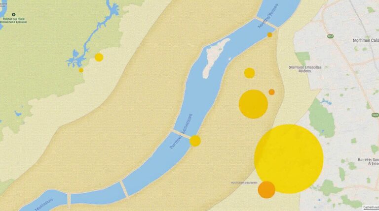
- Enhanced Infrastructure Management**: GeoAI can offer real-time insights into infrastructure health, enabling proactive maintenance, resource optimization, and efficient investment decisions. Real-time monitoring of traffic patterns, for example, allows cities to dynamically adjust traffic lights, reducing congestion and improving traffic flow.
- Optimized Disaster Response**: Weather data combined with AI simulations can help in early threat detection and response, enabling efficient evacuation, sheltering, and emergency aid distribution. GeoAI can track geographical hazards and map risk areas, empowering authorities to make well-informed decisions during emergencies.
- Improved Traffic Flow**: Advanced traffic management systems that utilize GeoAI can identify bottlenecks and adjust traffic signals based on real-time data. This, in turn, reduces travel time, enhances accessibility, and minimizes accidents.
- Increased Profitability**: By analyzing energy consumption and optimizing energy distribution networks, GeoAI contributes to efficient resource usage and cost savings for utilities along with increased longevity of infrastructure.
- Smart Green Space Management**: Through AI-powered monitoring and analysis, urban green space management can improve quality of life by optimizing irrigation, pest control, and resource allocation to maximize the ecological benefits.
Practical Applications of GeoAI in Smart City Infrastructure
GeoAI has a wide range of practical applications in smart city infrastructure, impacting various aspects of urban life. Some notable examples include:
* **Traffic Management and Navigation**: GeoAI powers traffic prediction systems, intelligent route planning, and adaptive traffic signals to minimize congestion and travel time.
* **Public Safety**: GeoAI is deployed for crime prediction, emergency response optimization, and public safety alerts by recognizing behavioral patterns and identifying potential risks.
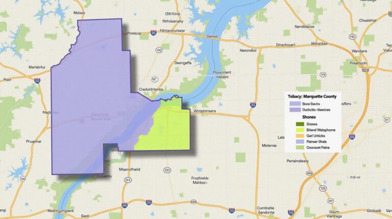
* **Infrastructure Monitoring**: Real-time data on bridge health, water quality, air pollution levels, and other crucial infrastructure factors provide an advantage for proactive maintenance and risk mitigation.
* **Resource Management**: GeoAI optimizes energy distribution, wastewater treatment, and resource allocation based on real-time data to minimize waste, conserve resources, and ensure sustainable urban energy use.
* **Environmental Protection:** By analyzing environmental data, GeoAI analyzes pollution trends, identifies areas for pollution hotspots, and provides data for environmental regulations and policy development.
Becoming Part of the GeoAI Revolution
GeoAI is a rapidly developing field with immense untapped potential. Municipalities, utilities, and technology companies are actively investing in and adopting GeoAI solutions to shape the future of urban environments. To proactively embrace GeoAI for your city’s smart infrastructure, take these steps:
* **Research and Learn**: Explore available resources, workshops, and conferences focused on GeoAI to deepen your understanding and familiarize yourself with current best practices.
* **Partner with Experts**: Collaborating with specialists and experts in GeoAI and related technologies can provide valuable guidance, support, and accelerate your adoption strategy.
GeoAI is transforming the way we create, manage, and interact with our cities. As these technologies continue to evolve, the potential for smart infrastructure solutions is immense. By investing in GeoAI, cities worldwide can improve their livability, resource management, safety, and overall resilience for present and future generations.
**Resources**
- **GeoAI Virtual Lab**: https://geospatialai.org
- **OpenGeoAI**: https://opengeoai.org
- **geoAI Research:** https://www.google.com/search?q=geoai+research
## GeoAI for Smart Cities: Infrastructure and Traffic Management – FAQs
This document provides answers to frequently asked questions about using GeoAI for smart cities infrastructure and traffic management.
### What is GeoAI and how is it used in smart cities?
**GeoAI** stands for **Geospatial Artificial Intelligence**. It leverages AI and Machine learning algorithms to analyze spatial data, including geographic information like GPS locations, maps, and images. It helps create smart solutions for various urban problems.
For **smart cities**, GeoAI is particularly useful for infrastructure management (e.g., traffic flow optimization, power grid management) and traffic management (e.g., dynamic traffic light routing, accident prediction, and route optimization).
### **Availability**
**Practical Implementation:** GeoAI tools and services are available broadly, with offerings from both independent providers and major tech giants like Google, Amazon, Microsoft, and IBM.
**Access:** Choose from various platforms tailored to your needs:
* GeoFencer for large-scale city projects
H2O.AI for data analytics and AI
AWS for cloud computing and technical infrastructure
**Community Access:** Publicly accessible GeoAI libraries and packages for development are widespread, enabling developers to customize solutions.
### **Formats and Data**
* **Raw Data Formats:** GeoAI uses raw data formats like:
* KML (Keyhole Markup Language) for geospatial data with markers and route information
* GeoJSON (GeographicJson) for representing geographical features and geometries
* CSV (Comma Separated Values) for tabular data with location information
* GPX (GPS Exchange Format) for tracking data with location points and timestamps
* **Processed Data Formats:** Processed data results are typically expressed as GeoSeries (objects providing points of interest, location coordinates, etc.), geoprocessing models, and other formats.
### **Usage**
GeoAI applications are diverse, but some common use cases include:
* **Traffic Optimization:** Predicting congestion, optimizing traffic light timings by detecting travel time and volume, routing optimization and diverting traffic to avoid bottlenecks, and dynamically adjusting speeds based on traffic flow.
* **Infrastructure Management:** Predicting asset failure, analyzing power grid usage patterns for enhanced grid stability and efficiency, monitoring infrastructure health and detecting areas in need of maintenance.
* **Urban Planning:** Analyzing population density, visualizing land usage data, managing city utilities (e.g., water usage), and identifying sustainable development opportunities.
### **Key Benefits**
* **Efficient Infrastructure Operations and Maintenance:** Real-time data allows for pro-active and better decisions, leading to optimized resource allocation and minimum downtime.
* **Enhanced Public Safety:** Predicting traffic incidents and accidents using dynamic data feeds, resulting in faster emergency response times.
* **Smoother City Movement:** Adapting traffic management, improving public transport efficiency, reducing congestion, and contributing to customer satisfaction.
### **Conclusion**
GeoAI is revolutionizing smart city development and administration. By utilizing this powerful technology, cities can gain actionable insights from existing data. This leads to smarter, more efficient infrastructure deployments, improved livability by optimizing traffic flow and public transportation, and an overall enhanced city experience.
> **Conclusion:
GeoAI, when fully implemented, offers unprecedented opportunities. This technology can be a game-changer for cities committed to creating safer, cleaner, and more sustainable urban environments.
**Note:** This document provides a general overview. For specific solutions and offerings, please refer to the respective official websites and resources.