GeoAI for Understanding Traffic Patterns – Predictive Analytics
Understanding Traffic Patterns: Predicting the Future with GeoAI
In a world grappling with ever-increasing traffic congestion, GeoAI emerges as a powerful tool for understanding and leveraging traffic patterns to deliver more efficient and informed solutions. This technology is transforming transportation systems by providing data-driven insights that allow for better planning, resource allocation, and even personalized travel experiences.
### What is GeoAI?
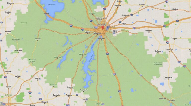
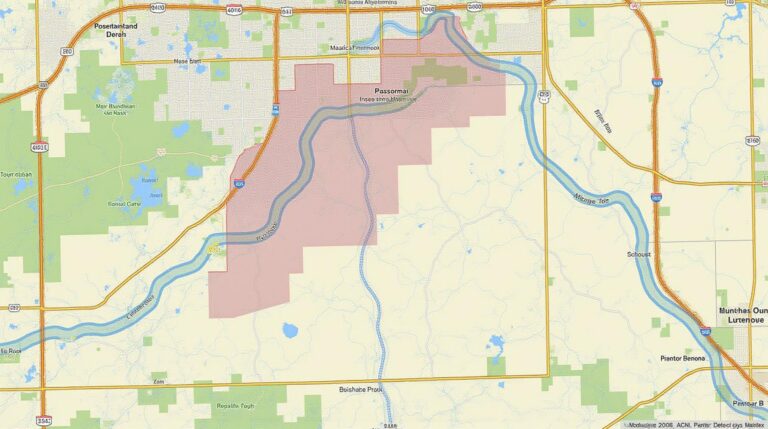
GeoAI, simply put, combines the world of Artificial Intelligence (AI) with spatial data analysis. This fascinating field uses algorithms, machines learning techniques, and geospatial data to unlock hidden patterns, trends, and insights about our world, especially with regards to location and movement. Consider this: a smart traffic management system analyzes real-time data from cameras, sensors, and GPS devices to constantly monitor traffic volumes and flow in a specific area. GeoAI empowers it to estimate where and when traffic is most congested, allowing it to then adapt and dynamically change traffic lights, road diversions, or even recommend alternative routes for road users.
### Harnessing the Power of GeoAI
GeoAI unlocks a plethora of benefits across various sectors:
* **Traffic Management:** Predictive models based on historical and real-time traffic data can optimize traffic signal timings, lane closures, and optimized routing strategies, reducing congestion and travel time. Applications include smart traffic systems, real-time navigation, and efficient transportation planning.
* **Safety and Security:** GeoAI can analyze crime hotspots, analyze pedestrian and cyclist traffic in single and controlled environments, as well as set alerts for potential hazardous situations, such as accidents. This is particularly valuable in urban planning, emergency response, and public safety initiatives.
* **Public Transit Optimization:** AI models can improve public transport schedules, optimize route planning, predict ridership patterns, and direct fleets of buses and trams for maximum efficiency. This leads to shorter route times, reduced waiting times, and more reliable access to public transportation.
* **Urban Planning:** GeoAI helps create aesthetically appealing dense urban spaces, improves resource usage, and minimises environmental impact. Dynamic parking lot modeling, traffic sensing, and smart parking features become practical realities
* **Logistics and Supply Chain Management:** Predictive maintenance for vehicles, optimizing delivery routes, managing warehouse allocation, and identifying regional suppositions can all become feasible within GeoAI applications.
### Key Features
* **Vast Data Integration:** GeoAI thrives on the diversity of data coming from various sources (mobile apps, roads, weather forecasts, public transportation, etc.)
* ** Predictive Modeling:** Utilizing machine learning algorithms, GeoAI analyzes past patterns to forecast future trends, understand travel behavior and estimate traffic volumes.
* **Dynamic Adaptability:** GeoAI systems are designed to react to changes in real-time. If congestion patterns shift, the optimization models adjust to provide the most efficient flow.
### Resources for Deeper Dive
* **The GeoAI Community:** https://www.geoai.com/
* An independent news platform dedicated to tracking advancements in GeoAI technologies and communities. This website remains focused on simply delivering news about the field.
* **Geospatial Knowledge Hub:** https://geospatialknowledgehub.com
* A vital resource providing educational content on geospatial technologies, including AI. It tends to focus more on the general application of data, not just AI itself.
**The Future with GeoAI is Bright**
GeoAI is becoming an indispensable tool for corporations in every industry. By understanding and leveraging GeoAI technologies, we can build smarter cities, fuel economic growth with optimal transportation systems, empower emergency responders, and improve global connectivity and efficiency. venturing into this groundbreaking field offers the potential to transform our world for the better.
**Are you ready to imagine the potential of GeoAI? Start exploring today.**
***
## GeoAI-Understanding Traffic Patterns – Predictive Analytics: FAQs
This guide answers common questions about GeoAI-Understanding Traffic Patterns – Predictive Analytics.
### What is GeoAI-Understanding Traffic Patterns – Predictive Analytics?
GeoAI-Understanding Traffic Patterns – Predictive Analytics is a powerful solution that uses Artificial Intelligence (AI) and Geographic Information Systems (GIS) to analyze real-time and historical traffic data. It allows us to predict future traffic patterns with a high level of accuracy, enabling businesses to optimize logistics, transportation infrastructure and ultimately provide a smooth and efficient movement of people and goods.
### What are the benefits of using GeoAI-Understanding Traffic Patterns – Predictive Analytics?
1. **Reduced congestion and travel times:** Identifying traffic bottlenecks and future trends allows for proactive interventions, reducing congestion and improving travel time efficiency.
2. **Optimized fleet management:** Knowing when and where traffic will be congested enables efficient route planning and fleet management, minimizing downtime and fuel costs.
3. **Enhanced emergency response:** Identifying traffic bottlenecks allows for faster and more efficient emergency response by directing resources to areas where they are most needed.
4. **Improved urban planning:** Real-time data about traffic patterns becomes essential for efficient urban planning, leading to better parking infrastructure, improved road layouts, and more efficient public transit systems.
### How does GeoAI-Understanding Traffic Patterns – Predictive Analytics work?
GeoAI-Understanding Traffic Patterns – Predictive Analytics relies on sophisticated algorithms trained on massive datasets with real-time traffic data, historical traffic patterns, weather, road construction, and other relevant factors. These algorithms learn complex modelling interactions to predict future traffic flow with a high degree of accuracy.
### Availability and Access:
* **Available through:** [link to product page for GeoAI-Understanding Traffic Patterns – Predictive Analytics]
* **Access Methods:** The solution is available in various ways adaptable to your needs, including online platform access, API integration, and dedicated cloud-based dashboards.
### Formats
* **Data formats:** The software delivers data insights through a user-friendly interface using key data visualisations, maps, charts, graphs and dashboards. These formats can be tailored according to your needs in terms of technical complexity and budget.
### Usage
* **Target Audience:** This solution is ideal for individuals and organizations working in:
* Urban Planning and Transport companies
* Logistics and Freight firms
* Transportation network operators
* Public Safety and Emergency response organizations
* Parking and Commuter System providers
### Conclusion
GeoAI-Understanding Traffic Patterns – Predictive Analytics is a powerful and efficient tool with far-reaching applications in urban transportation, logistics, planning, and emergency response. Whether you’re a city planner or a business owner, understanding future traffic trends allows for better resource allocation, efficient operations, and ultimately a smooth and efficient, navigable environment.
Want to discover how you can utilize this technology to improve your processes today? Take a dive into our product overview and start achieving real-world results!
Please let us know if you have any further questions. We are here to help you understand the full potential of GeoAI-Understanding Traffic Patterns – Predictive Analytics.

