GeoAI for Urban Mobility and Transportation Planning – Traffic Analysis
## GeoAI for Urban Mobility: Traffic Analysis & The Future of Transportation Planning
Traffic congestion, pollution, and an inability to navigate our cities efficiently are some of our most pressing urban challenges. Enter GeoAI, a powerful tool emerging as a game-changer in urban mobility and transportation planning. This blog post explores how GeoAI can analyze traffic patterns, optimize public transit systems, and streamline the entire process of transportation planning.**
***
**What is GeoAI?**
GeoAI is the strategic application of artificial intelligence powered by location data. It involves using algorithms and machine learning to analyze and extract valuable insights from geographical data.
**How GeoAI Powers Traffic Analysis:**
Traffic management requires understanding real-time traffic flow, predicting congestion points, and optimizing infrastructure. GeoAI tackles these complexities by leveraging:
* **Satellite imagery and LiDAR:** Provides accurate representations of road structures, traffic densities, and infrastructure availability.
* **Real-time sensor data:** Sources like Vehicle-detector units (V2X), GPS, and smart traffic lights provide insights into vehicle positions, speeds, and flow.
* **Journey-optimized routing:** GeoAI solutions like Google Maps can analyze traffic patterns, anticipate congestion, and suggest the most efficient route to minimize travel time and cost.
**Benefits of GeoAI in Urban Mobility:**
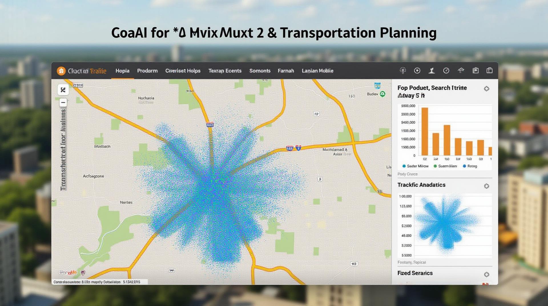
* **Real-Time Traffic Monitoring and Management:** GeoAI allows for dynamic analysis of traffic congestion and incident reports, enabling timely response and proactive mitigation measures.
* **Improved Traffic Flow Optimization:** The system can predict forward traffic trends, optimizing traffic signals, providing automated lane guidance, and minimizing travel delays.
* **Enhanced Public Transit Efficiency:** Spatial analysis allows for optimizing the integration of public transportation with other modes, improving service efficiency and user choices.
* **Traffic Modeling and Forecasting:** GeoAI significantly assists in simulating traffic behavior, predicting future traffic patterns, and proactively preparing for changing demand.
* **Smart City Integration:** GeoAI provides a strong foundation to implement smart city initiatives.
**Practical Applications of GeoAI in Traffic Management:**
* **Dynamic Route Guidance:** GeoAI-powered applications like Apple Maps and Google Maps utilize real-time data for route planning.
* ** congestion avoidance:** Smart garages, parking management systems, and congestion pricing models are all being pioneered by GeoAI.
* **Urban planning optimization:** Urban planning practices can integrate GeoAI for efficient land use reserving and improved traffic flow.
* **Pedestrian and cyclist navigation:** GeoAI can improve navigation for pedestrians and cyclists by providing accurate insights about the infrastructure and potential congestion points in high-traffic areas.
**Resources for Exploring GeoAI in Urban Mobility:**
* **Google AI Platform:** [https://cloud.google.com/ai-platform](https://cloud.google.com/ai-platform)
* **Amazon Web Services (AWS) Machine Learning:** [https://aws.amazon.com/machine-learning/](https://aws.amazon.com/machine-learning/)
* **Darktrace GeoAI:** [https://www.darktrace.com/our-products/darktrace-geoai](https://www.darktrace.com/our-products/darktrace-geoai)
* **Esri ArcGIS:** [https://www.esri.com/en-us/solutions/location-intelligence](https://www.esri.com/en-us/solutions/location-intelligence)
***
**The Future of Transportation Planning and GeoAI**
As technology advances, GeoAI’s role in urban mobility will only grow in significance. This includes:
* **Autonomous Vehicles:** Integration of GeoAI will be pivotal in managing traffic flow, route planning, and maintaining safety in a world of self-driving cars
* **Smart Cities Planning:** Personalized urban planning, through integrating GeoAI, will lead to a future of walkable, bikeable, and efficient city environments.
****
**Conclusion:**
GeoAI presents a remarkable opportunity to revolutionize urban mobility and transportation planning. By utilizing its capabilities and insights, cities can improve congestion management, optimize public transit, create smart infrastructure, and ultimately deliver more efficient, sustainable, and user-friendly transportation experiences for all.
**Call to Action:**
Now is the time for cities and urban planners to explore the potential of GeoAI and contribute to a more sustainable and efficient future of mobility.
***
## Geoai-Urban Mobility & Transportation Planning FAQs
This document aims to address common questions about GeoAI and its application in Urban Mobility & Transportation Planning.
### **Availability**
* **What formats are available?** GeoAI-Urban Mobility & Transportation Planning data and insights are available in a variety of formats, including:
* **Geospatial Data (GIS):** Data formats like geodatabases, shapefiles, and geojson for visualizing and analyzing spatial data. [Learn more about GIS functionalities here: https://www.arcgis.com/home/webinals/prosperity/combat-climate-change-with-gis-data]
* **Numeric Tables:** CSV or Excel files for statistical summaries and analytical outputs.
* **Visualization and Reporting:** Interactive dashboards and reports for summarizing and communicating findings.
* **Who offers GeoAI?** Various tools and platforms offer GeoAI functionalities, each catering to different needs and complexity levels. Here are a few examples:
* Google Earth Engine: For large-scale data analysis and artificial intelligence applications. [More information here: https://earthengine.google.com/]
* Amazon SageMaker: Cloud platform for building, training, and deploying machine learning models.
* OpenAI’s GPT-3/2: Generative language models that can provide insights from large datasets. [Learn about GPT-3 & 2 here: https://openai.com/api/]
### **Usage**
* **How can GeoAI be used in Transportation Planning?** GeoAI offers unique capabilities that revolutionize transportation planning:
* **Predicting Traffic Flows:** Algorithm analyzing traffic patterns, weather, events, etc. to potentially improve transportation flow and minimize congestion.
* **Route Optimization:** Unveiling more efficient routes based on real-time traffic information, reducing travel times, and minimizing fuel consumption. [Look at route optimization solutions here: https://router.com/].
* **Demand Forecasting:** Forecasting passenger and vehicular movements for efficient resource allocation and future transportation infrastructure projects.
### **Concluding Thoughts**
GeoAI-Urban Mobility & Transportation Planning opens exciting avenues for mobility and infrastructure development.
**Actionable Insights for Urban Planners:**
* Embrace data-driven decision-making for planning projects and infrastructure development.
* Explore new ways to address public transport demand by using insights extracted from GeoAI applications.
* Generate a thorough understanding of current urban mobility challenges and utilize prepared data to identify trends and better solutions.
* Collaborate with experts in the field with specialized tools to adapt and integrate GeoAI into your urban planning strategy.
These technologies can revolutionize urban landscapes and significantly enhance quality of life.